
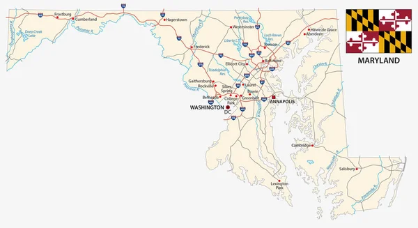
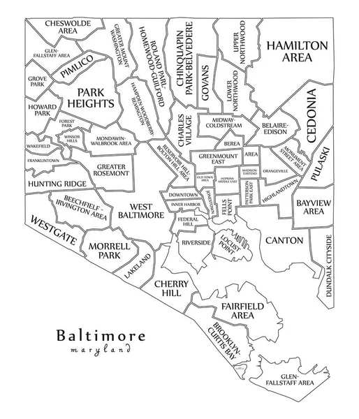
Stock image Baltimore Map


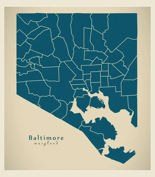
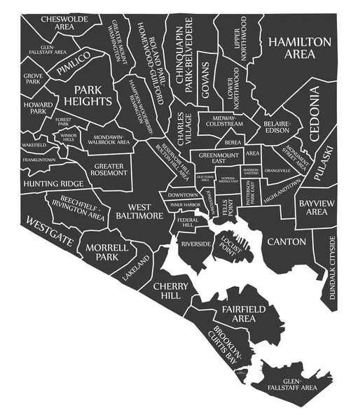
Modern City Map - Baltimore Maryland City Of The USA With Neighborhoods
Vector, 7.5MB, 5000 × 5689 eps

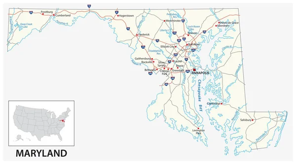
Road Map Of Baltimore In Maryland. Contains Layered Vector With Roads Water, Parks, Etc.
Vector, 51.82MB, 2400 × 2400 eps

Map Of Baltimore In Maryland In Grayscale. Contains Layered Vector With Roads Water, Parks, Etc.
Vector, 53.35MB, 2400 × 2400 eps

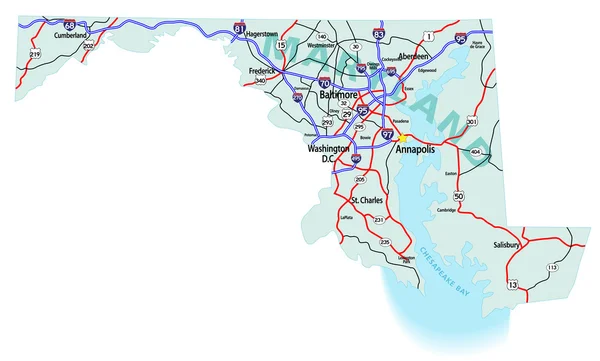
Map Of Baltimore In Maryland In Blue. Contains Layered Vector With Roads Water, Parks, Etc.
Vector, 21.38MB, 2400 × 2400 eps


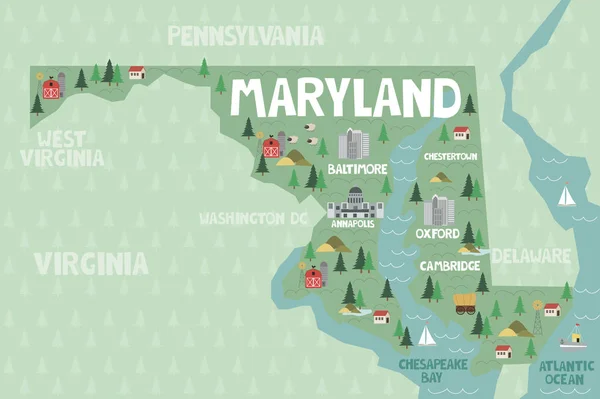
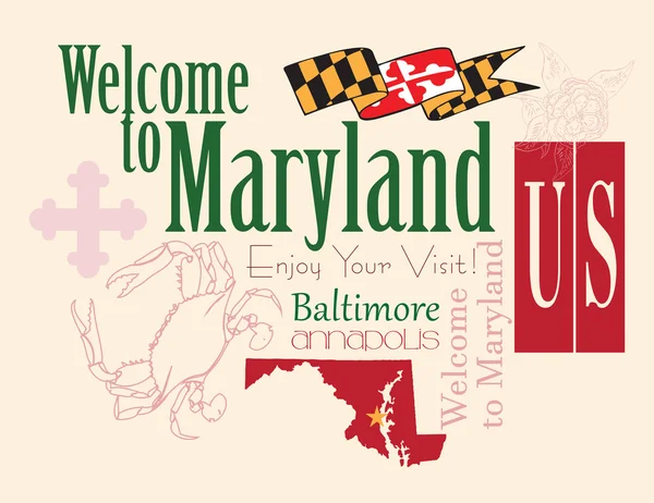
Illustrated Map Of The State Of Maryland In United States With Cities And Landmarks. Editable Vector Illustration
Vector, 1MB, 3000 × 1997 eps
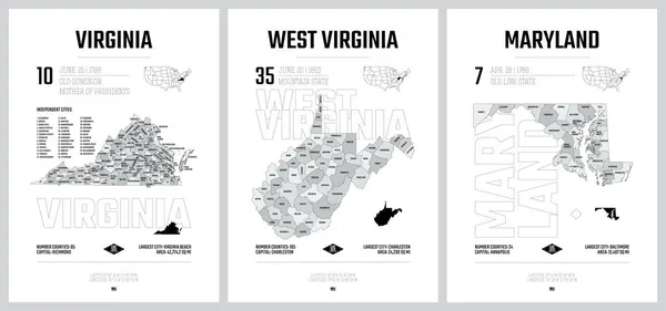
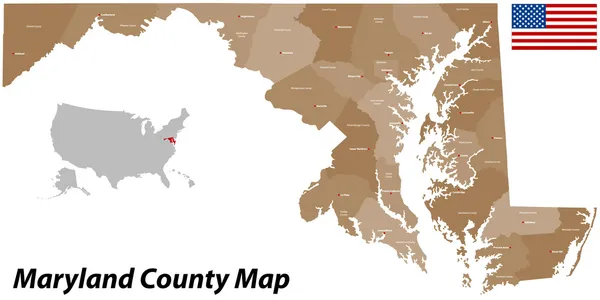
Highly Detailed Vector Silhouettes Of US State Maps, Division United States Into Counties, Political And Geographic Subdivisions Of A States, South Atlantic - Virginia, West Virginia, Maryland - Set 8 Of 17
Vector, 10.22MB, 9608 × 4501 eps
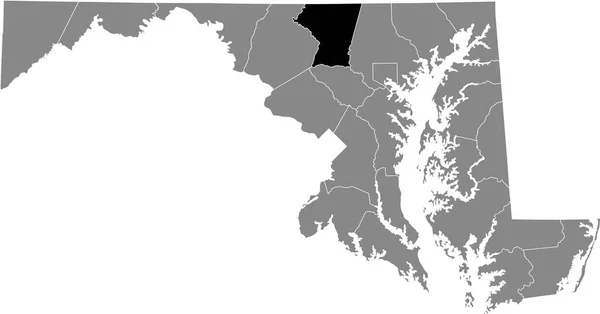
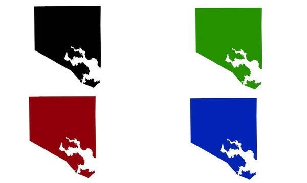
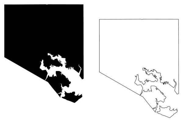
Black Highlighted Location Map Of The Carroll County Inside Gray Map Of The Federal State Of Maryland, USA
Vector, 0.94MB, 6903 × 3614 eps
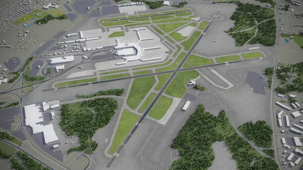
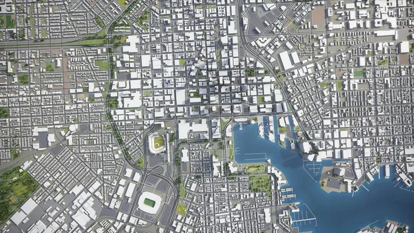
Baltimore - Washington International Thurgood Marshall Airport - 3D Model Aerial Rendering
Image, 1.49MB, 3840 × 2160 jpg

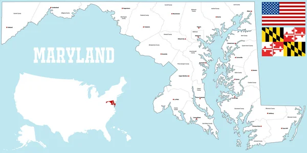
Vector Set 2 Of 10 Highly Detailed Silhouettes Of US State Maps, Divided Into Counties With Names And Territory Nicknames
Vector, 5.14MB, 9585 × 3348 eps

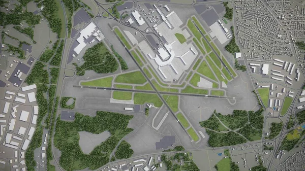
Baltimore - Washington International Thurgood Marshall Airport - 3D Model Aerial Rendering
Image, 1.75MB, 3840 × 2160 jpg

Modern City Map - Baltimore Maryland City Of The USA With Neighborhoods And Titles Outline Map
Vector, 9.7MB, 5000 × 5829 eps
Baltimore City ( United States Cities, United States Of America, Usa City) Map Vector Illustration, Scribble Sketch City Of Baltimore Map
Vector, 0.56MB, 7087 × 4726 eps


Large Group Of People Forming Maryland Flag Map In The United States Of America In Social Media And Community Concept On White Background. 3d Sign Symbol Of Crowd Illustration From Above
Image, 9.79MB, 5400 × 3343 jpg

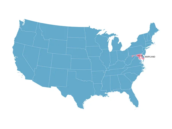
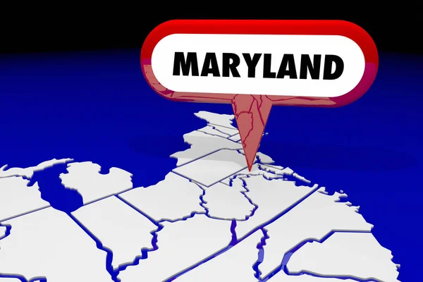
Baltimore On Maryland State Map. Detailed MD State Map With Location Pin On Baltimore City. Black Silhouette Vector Map Isolated On White Background.
Vector, 5.73MB, 8334 × 8334 eps

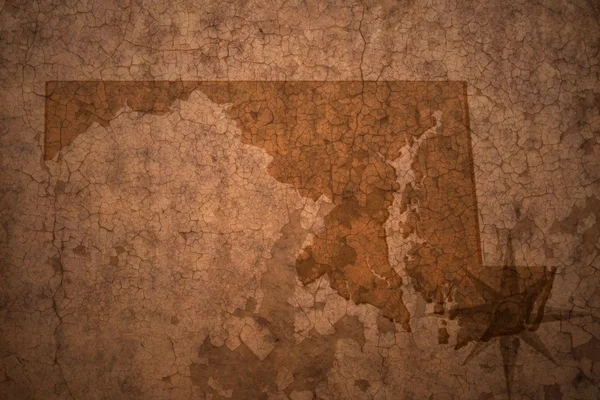
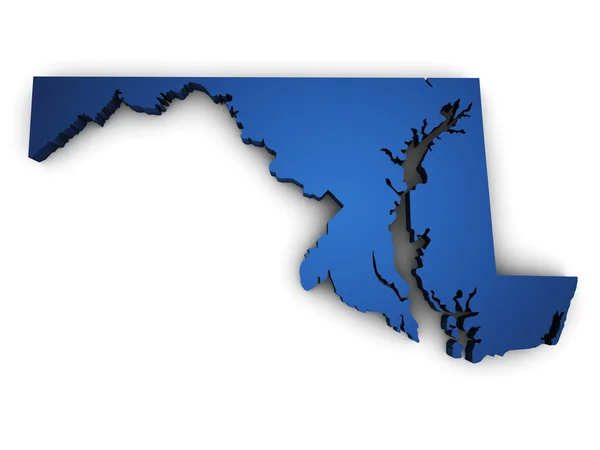
Maryland, State Of USA - Solid Black Outline Map Of Country Area. Simple Flat Vector Illustration
Vector, 0.23MB, 5000 × 5000 eps

Baltimore - Washington International Thurgood Marshall Airport - 3D Model Aerial Rendering
Image, 1.3MB, 3840 × 2160 jpg
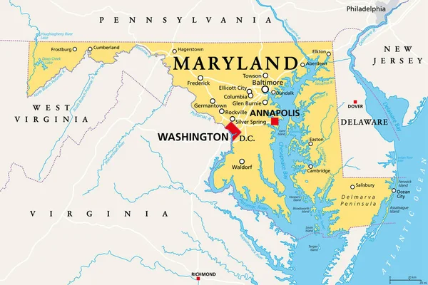
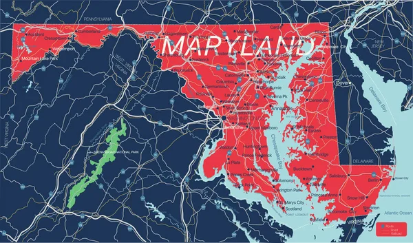
Maryland, MD, Political Map. State In The Mid-Atlantic Region Of The United States Of America. Capital Annapolis. Old Line State. Free State. Little America. America In Miniature. Illustration. Vector
Vector, 4.36MB, 9000 × 6000 eps
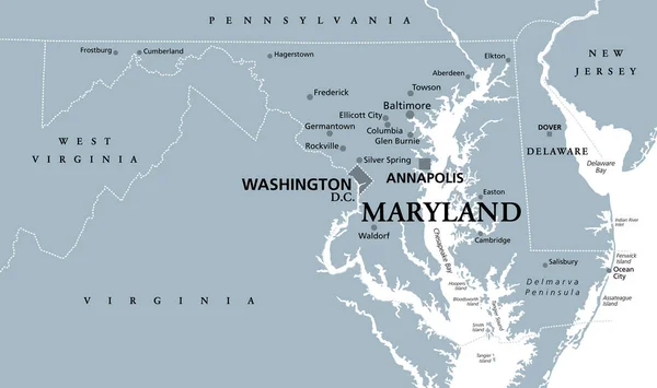
Maryland, MD, Gray Political Map. State In Mid-Atlantic Region Of United States Of America. Capital Annapolis. Old Line State. Free State. Little America. America In Miniature. Illustration. Vector.
Vector, 2.46MB, 9000 × 5337 eps
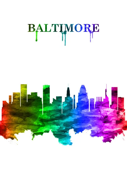
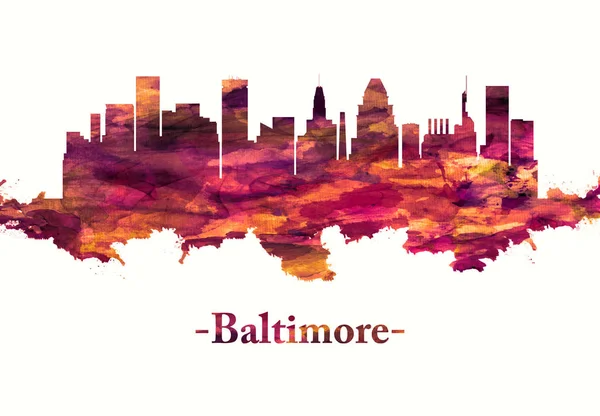
Portrait Rainbow Skyline Of Baltimore, A Major City In Maryland With A Long History As An Important Seaport
Image, 11.09MB, 6079 × 8511 jpg
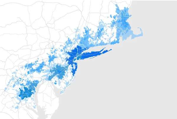
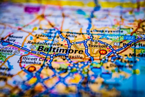
Map Of The Agglomeration Washington, New York City Philadelphia, Boston, Baltimore, USA
Vector, 9MB, 6988 × 4696 eps


Red Skyline Of Baltimore, A Major City In Maryland With A Long History As An Important Seaport
Image, 9.23MB, 7200 × 5000 jpg
Page 1 >> Next