
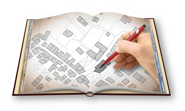
Stock image Cadastral Plan

Professional Cartographers Working With Cadastral Map At Table, Closeup
Image, 8.16MB, 5760 × 3840 jpg
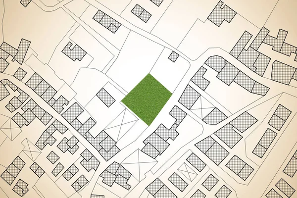
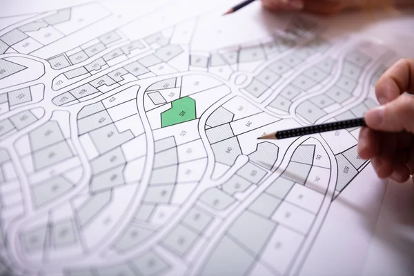
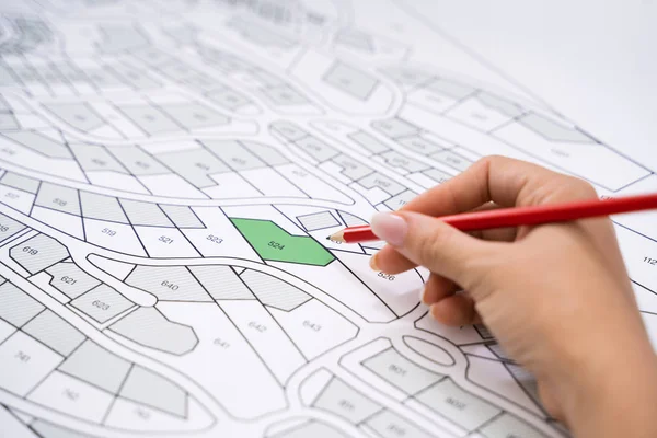
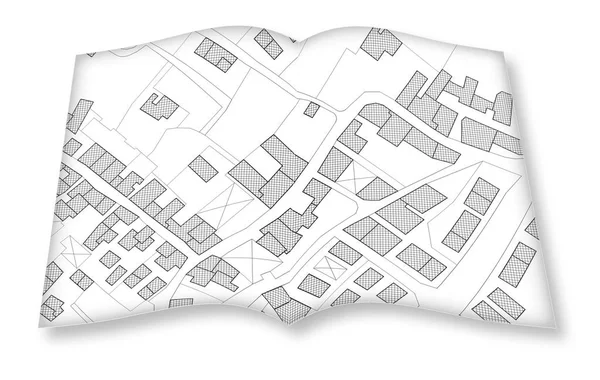
Imaginary Cadastral Map Of Territory With A Free Green Land Available For Building Construction. Concept Image
Image, 7.69MB, 4752 × 3168 jpg


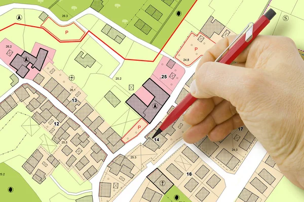
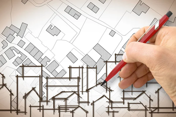
Engineer Drawing Over An Imaginary General Urban Plan Of Territory With Buildings, Roads And Land Parcel - Note: The Map Is Totally Invented And Does Not Represent Any Real Place
Image, 6.87MB, 4752 × 3168 jpg

Close-up Of A Businesspeople Analyzing Cadastre Map On Computer In The Office
Image, 12.45MB, 8210 × 5473 jpg
Engineer Drawing An Imaginary City Map Of Territory With Buildings, Fields, Roads And Land Parcel - Construction Industry Concept Image.
Image, 5.8MB, 4752 × 3168 jpg
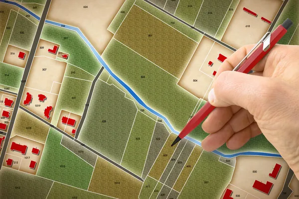
Engineer Drawing An Imaginary Cadastral Map Of Territory Of A Rural Area With Buildings, Fields, Roads And Land Parcel.
Image, 16.68MB, 4752 × 3168 jpg


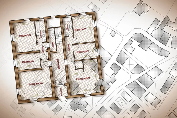
Imaginary General Urban Plan With Indications Of Urban Destinations With Buildings, Roads, Buildable Areas And Land Plot With Female Hand Writing
Image, 11.13MB, 5751 × 4147 jpg
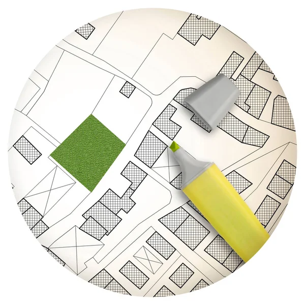
Imaginary Cadastral Map Of Territory With A Free Green Land Available For Building Construction - Round Icon Concept Image - 3D Rendering.
Image, 4.65MB, 3304 × 3304 jpg


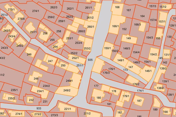
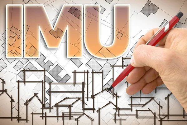
IMU (which Means Unique Municipal Tax) The Most Unpopular Italian Tax On Land And Buildings - Concept Image Against A Cadastral Map Of Territory With Buildings, Roads And Land Parcel.
Image, 5.92MB, 5534 × 3445 jpg
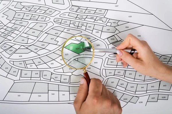
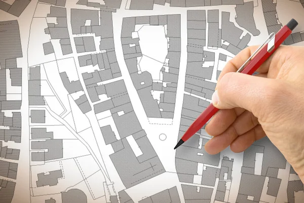
Close-up Of Human Hand Holding Magnifying Glass Over Paper Cadastre Map
Image, 20.31MB, 9504 × 6336 jpg

Professional Cartographers Working With Cadastral Map At Table, Closeup
Image, 7.7MB, 5760 × 3840 jpg


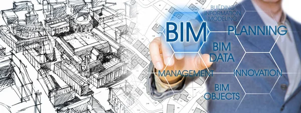
Planning A New City With BIM, Building Information Modeling System, A New Way Of Architecture Designing - Concept With An Engineer Or Architect Drawing A Sketch Of A New Modern Imaginary Town And Digital Tablet
Image, 13.77MB, 8458 × 3168 jpg
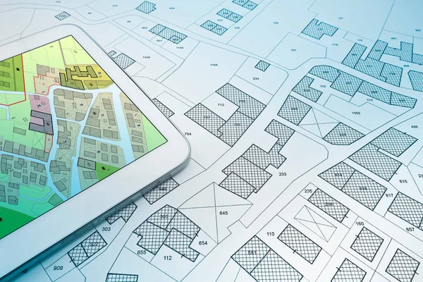
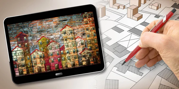
Buildings Permit Concept With Imaginary Cadastral On Digital Tablet - Building Activity And Construction Industry With General Urban Plan
Image, 12.16MB, 5760 × 3840 jpg

Buildings Permit Concept With Imaginary Cadastral On Digital Tablet - Building Activity And Construction Industry With General Urban Plan
Image, 12.16MB, 5760 × 3840 jpg


Close-up Of Human Hand Holding Magnifying Glass Over Paper Cadastre Map
Image, 8.77MB, 6950 × 4634 jpg


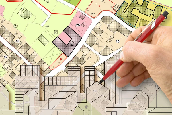
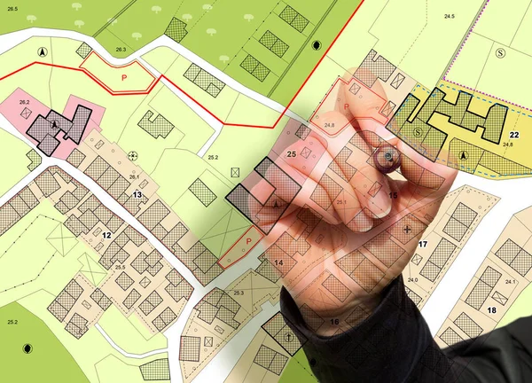
Architect Drawing Buildings Over An Imaginary Cadastral Map Of Territory And General Urban Plan With Indications Of Urban Destinations With Buildings, Roads, Buildable Areas And Land Plot
Image, 6.76MB, 4752 × 3168 jpg


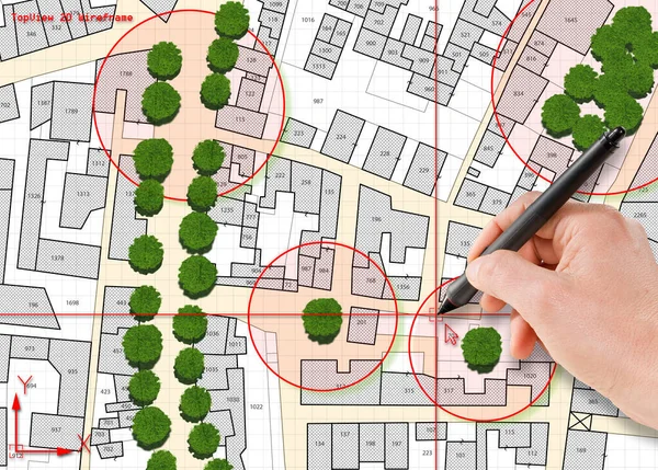
Census Of Singol, Group Or Row Trees In Cities - Green Management And Tree Mapping Concept With Imaginary City Map With Highlighted Trees
Image, 14.27MB, 5738 × 4110 jpg

Nature And City - Concept Image With A Green Grass Area Of A Public Park, City Map And Urban Skyline.
Image, 19.61MB, 10643 × 3168 jpg

Professional Cartographers Working With Cadastral Map At Table, Closeup
Image, 6.86MB, 5760 × 3840 jpg

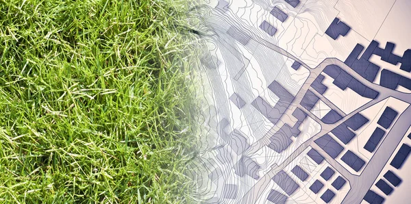
Land Plot Management - Real Estate Concept With A Vacant Land On A Green Field Available For Building Construction In A Residential Area Against An Imaginary Cadastral Ma
Image, 18.96MB, 7872 × 3168 jpg
Page 1 >> Next