photo free
Home Images Vectors Videos

Stock image Engineer drawing an imaginary cadastral map of territory of a rural area with buildings, fields, roads and land parcel.
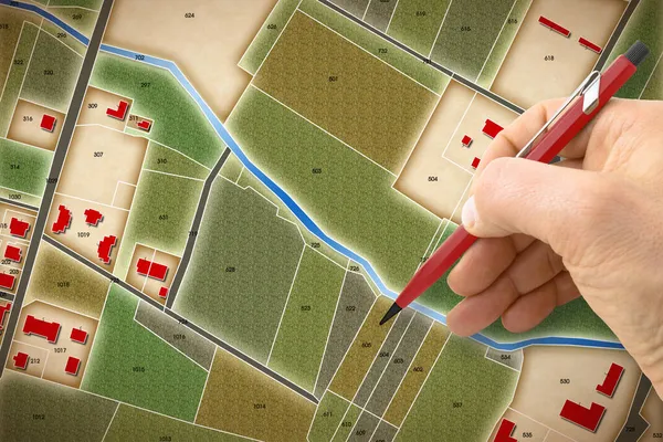
Stock image Engineer drawing an imaginary cadastral map of territory of a rural area with buildings, fields, roads and land parcel.
Published: Dec.03, 2021 15:18:03
Author: Francescoscatena
Views: 15
Downloads: 5
File type: image / jpg
File size: 16.68 MB
Orginal size: 4752 x 3168 px
Available sizes:
S
(500 x 333)
M
(1000 x 667)
L
(2000 x 1333)
XL
(4752 x 3168)
EL0
(4752 x 3168)
Level: bronze
Download Image
Image topics:

Similar stock images

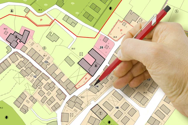
stock image Engineer drawing over an imaginary General Urban Plan of territory with buildings, roads and land parcel - note: the map is totally invented and does not represent any real place

Engineer Drawing Over An Imaginary General Urban Plan Of Territory With Buildings, Roads And Land Parcel - Note: The Map Is Totally Invented And Does Not Represent Any Real Place

4752 × 3168
stock image Real estate project concept, magnifying glass searches for plot of land for sale, house building construction backgorund photo, green office desk, top view and copy space

Real Estate Project Concept, Magnifying Glass Searches For Plot Of Land For Sale, House Building Construction Backgorund Photo, Green Office Desk, Top View And Copy Space

4749 × 2873
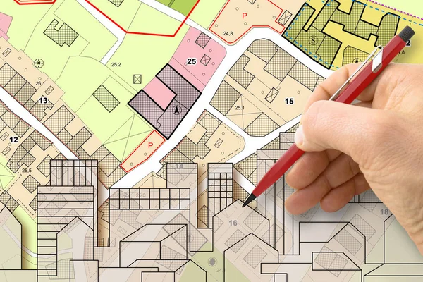
stock image Architect drawing buildings over an imaginary cadastral map of territory and General Urban Plan with indications of urban destinations with buildings, roads, buildable areas and land plot

Architect Drawing Buildings Over An Imaginary Cadastral Map Of Territory And General Urban Plan With Indications Of Urban Destinations With Buildings, Roads, Buildable Areas And Land Plot

4752 × 3168
stock image Real estate project banner, searching plot of land concept, flat lay and top view flat lay background photo with cadastral map, mangifying glass and glasses om green office table

Real Estate Project Banner, Searching Plot Of Land Concept, Flat Lay And Top View Flat Lay Background Photo With Cadastral Map, Mangifying Glass And Glasses Om Green Office Table

5472 × 2873
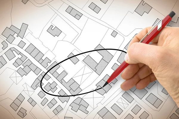
stock image Hand drawing and select an area above an imaginary cadastral map of territory with buildings, fields, roads and land parcel - concept image

Hand Drawing And Select An Area Above An Imaginary Cadastral Map Of Territory With Buildings, Fields, Roads And Land Parcel - Concept Image

4752 × 3168
stock image Human Hand Holding Pencil Over Paper Cadastre Map

Human Hand Holding Pencil Over Paper Cadastre Map

9153 × 3051
stock image Real Estate concept with an imaginary cadastral map of territory with cityscape, buildings, roads and land parcel

Real Estate Concept With An Imaginary Cadastral Map Of Territory With Cityscape, Buildings, Roads And Land Parcel

5256 × 3504
stock image Condominium versus detached house - concept with single-family house, apartment building, imaginary cadastral map and General Urban Planning

Condominium Versus Detached House - Concept With Single-family House, Apartment Building, Imaginary Cadastral Map And General Urban Planning

5760 × 3840