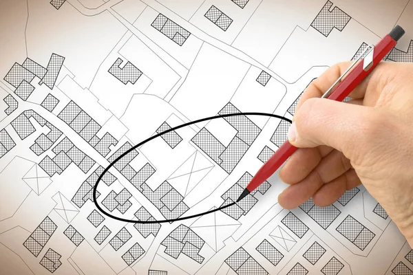
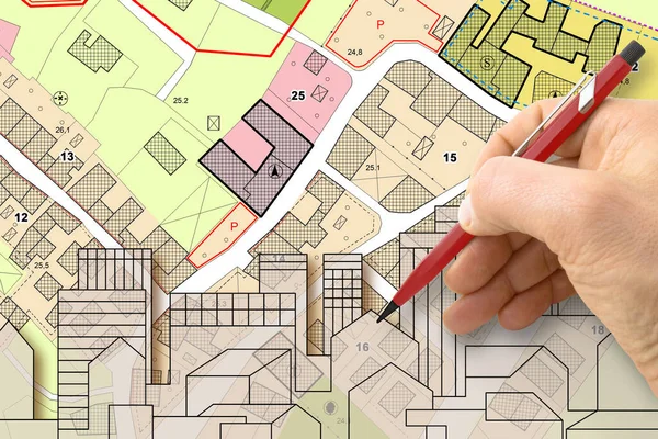
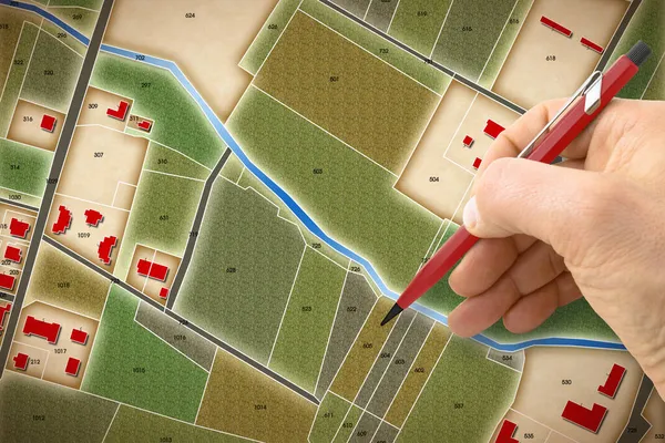
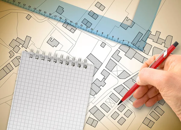
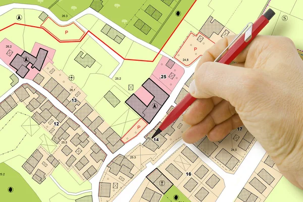
Stock image Engineer drawing over an imaginary General Urban Plan of territory with buildings, roads and land parcel - note: the map is totally invented and does not represent any real place
Published: Mar.08, 2022 08:53:17
Author: Francescoscatena
Views: 9
Downloads: 1
File type: image / jpg
File size: 6.87 MB
Orginal size: 4752 x 3168 px
Available sizes:
Level: bronze