
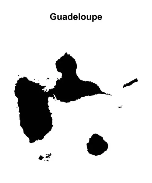
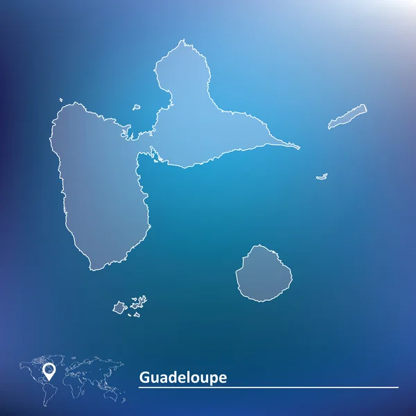
Stock image Guadeloupe Map

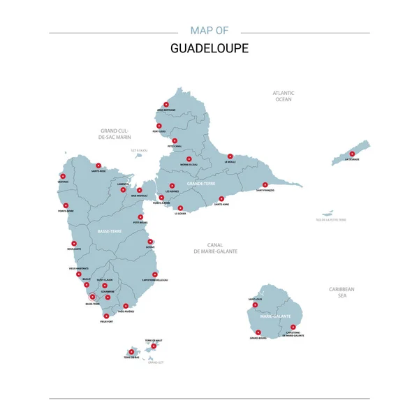
Guadeloupe Vector Map. Editable Template With Regions, Cities, Red Pins And Blue Surface On White Background.
Vector, 1.36MB, 3000 × 3000 eps

Guadeloupe Map - High Detailed Blue Map With Counties/regions/states Of Guadeloupe. Nepal Map Isolated On Transparent Background.
Vector, 1.8MB, 6991 × 4881 eps
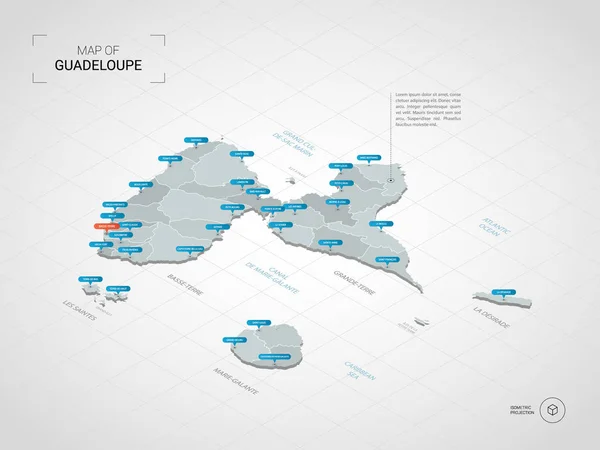
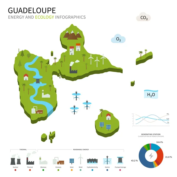
Isometric 3D Guadeloupe Map. Stylized Vector Map Illustration With Cities, Borders, Capital, Administrative Divisions And Pointer Marks; Gradient Background With Grid.
Vector, 2.11MB, 4000 × 3000 eps
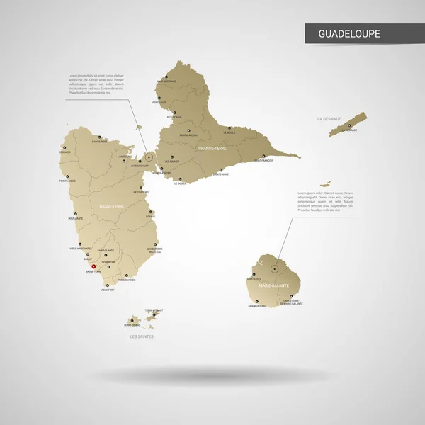
Stylized Vector Guadeloupe Map. Infographic 3d Gold Map Illustration With Cities, Borders, Capital, Administrative Divisions And Pointer Marks, Shadow; Gradient Background.
Vector, 1.96MB, 3000 × 3000 eps
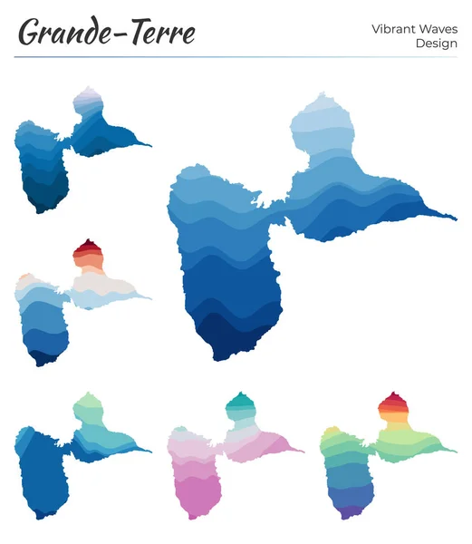
Set Of Vector Maps Of GrandeTerre Vibrant Waves Design Bright Map Of Island In Geometric Smooth
Vector, 2.15MB, 5121 × 5889 eps

Pixel Map Of Guadeloupe. Vector Dotted Map Of Guadeloupe Isolated On White Background. Abstract Computer Graphic Of Guadeloupe Map. Vector Illustration.
Vector, 0.39MB, 6000 × 5116 eps


Breaking News Map Of Guadeloupe, Outline Red Glow Map, On Dark Background
Image, 7.69MB, 8889 × 5000 jpg
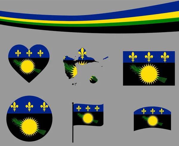
Guadeloupe Flag Map Ribbon And Heart Icons Vector Illustration Abstract National Emblem Design Elements Collection
Vector, 0.81MB, 3650 × 2988 eps

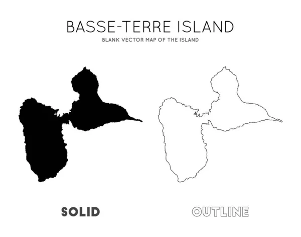
BasseTerre Island Map Blank Vector Map Of The Island Borders Of BasseTerre Island For Your
Vector, 0.29MB, 6208 × 4876 eps
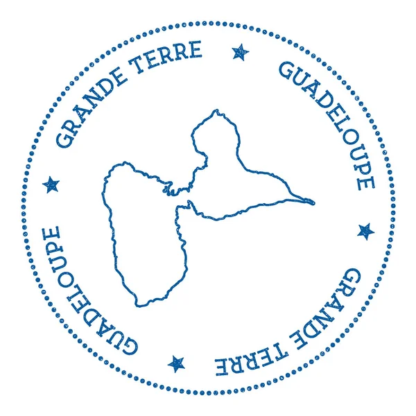
GrandeTerre Map Sticker Hipster And Retro Style Badge Minimalistic Insignia With Round Dots
Vector, 3.72MB, 8333 × 8333 eps

Editable Template Of Map Of Guadeloupe With Marks. Guadeloupe On World Map And On North America Map.
Vector, 8.22MB, 4000 × 5200 eps
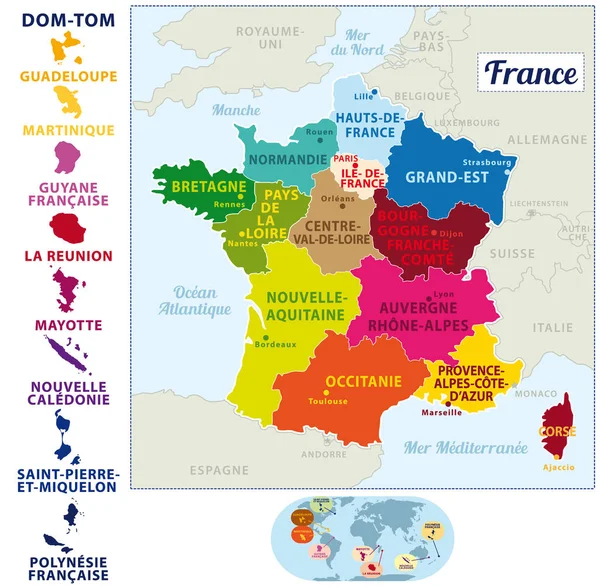
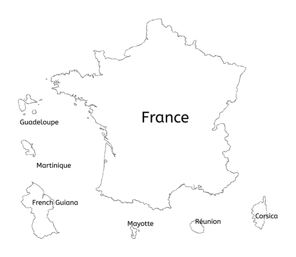
Beautiful And Colorful Detailes Map Of France With French Islands, New Regions And Capitals. French Names. Vector Illustration II.
Vector, 3.59MB, 4920 × 4815 eps

Vector Color Detailed Map Of Metropolis And Overseas Territories Of France With Administrative Divisions Of The Country, Each Region Is Presented Separately In-highly Detailed And Divided Into Departments
Vector, 5.32MB, 7677 × 4274 eps

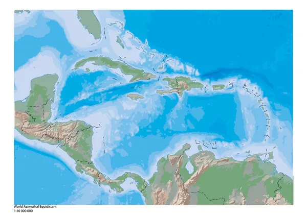
Caribbean On 3D Model Of Earth With Country Borders And Water In Oceans. 3D Illustration Isolated On White Background.
Image, 13.73MB, 5000 × 3750 jpg
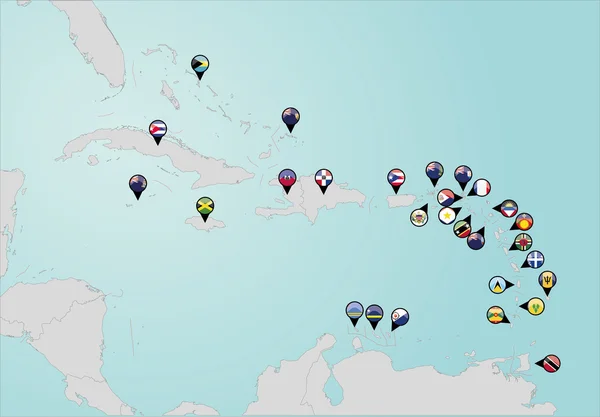
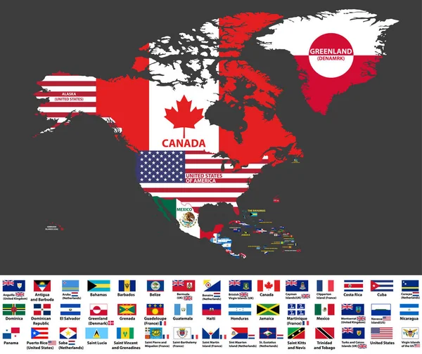
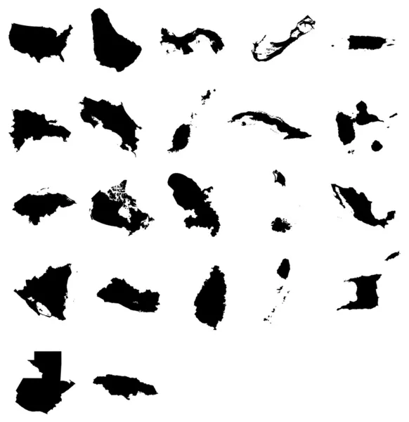
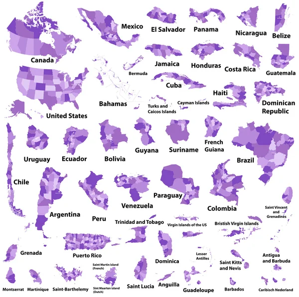
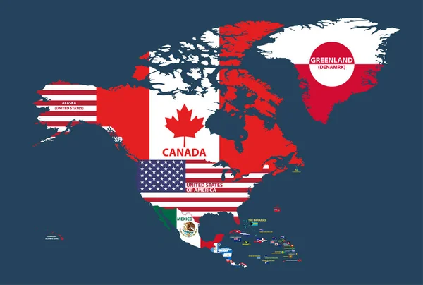
Vector Illustration Of North America Map (include Northern America, Central America And Caribbean Regions) With Country Names And Flags Of Countries.
Vector, 13.27MB, 8334 × 7009 eps


MarieGalante Icon Network Map Of The Island Round MarieGalante Sign With Gradient Ring
Vector, 0.55MB, 5488 × 5488 eps
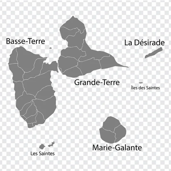
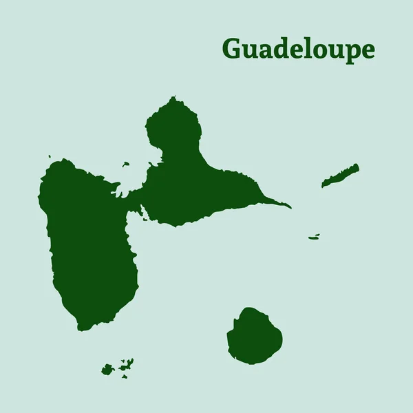
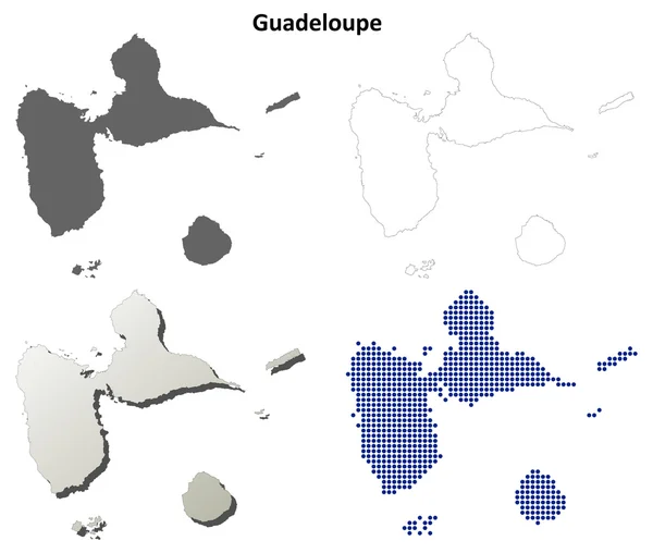
Blank Map Guadeloupe In Gray. Every Island Map Is With Titles. High Quality Map Of Guadeloupe With Districts On Transparent Background For Your Design. Caribbean. France. EPS10.
Vector, 3.35MB, 5000 × 5000 eps

Caribbean On Digital Planet Earth With International Network Representing Communication, Travel And Connections. 3D Illustration. Elements Of This Image Furnished By NASA.
Image, 15.57MB, 5000 × 3750 jpg

Vector Illustration Of North America Map (include Northern America, Central America And Caribbean Regions) With Country Names And Flags Of Countries.
Vector, 13.59MB, 8334 × 5618 eps

MarieGalante Map Island Silhouette Icon Isolated MarieGalante Black Map Outline Vector
Vector, 0.2MB, 8333 × 8333 eps

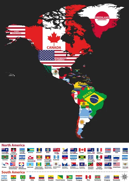
Vector Illustration Of North And South America Map With Country Names And Flags Of Countries
Vector, 13.86MB, 5917 × 8334 eps
GrandeTerre Icon Polygonal Map Of The Island In Gradient Ring Round Low Poly GrandeTerre Sign
Vector, 0.35MB, 5488 × 5488 eps
Page 1 >> Next