
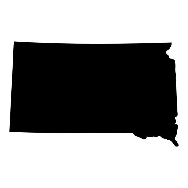
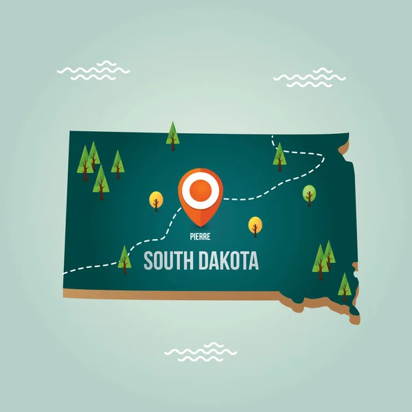
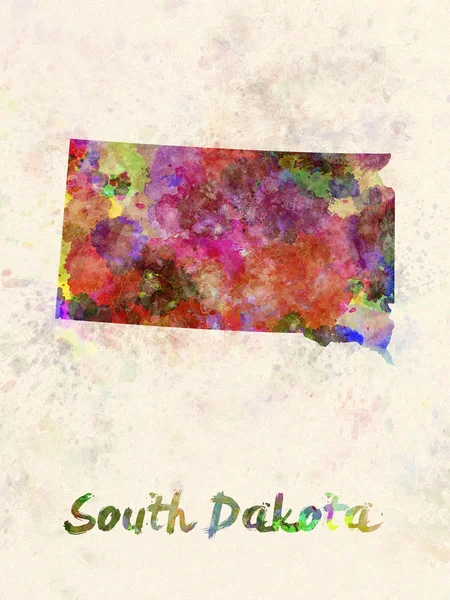
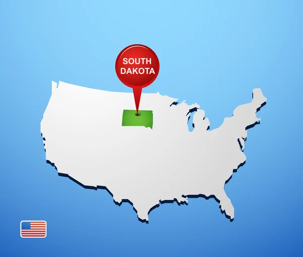
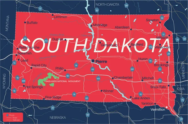
Stock image Map Of South Dakota


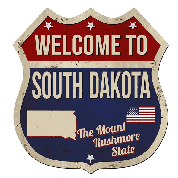
Welcome To South Dakota Vintage Rusty Metal Sign On A White Background, Vector Illustration
Vector, 6.81MB, 5000 × 5000 eps
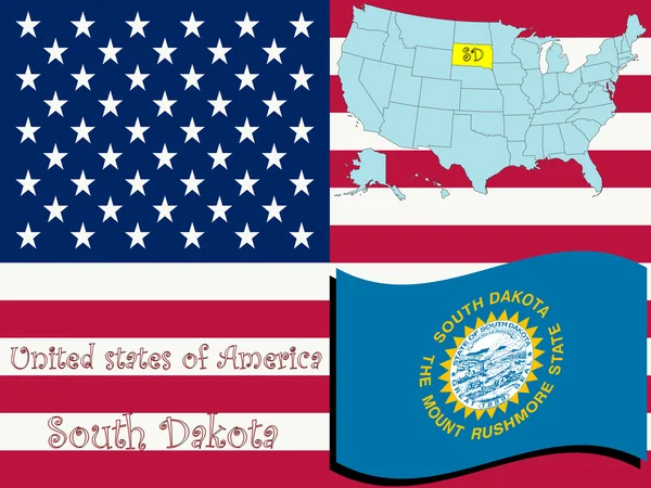
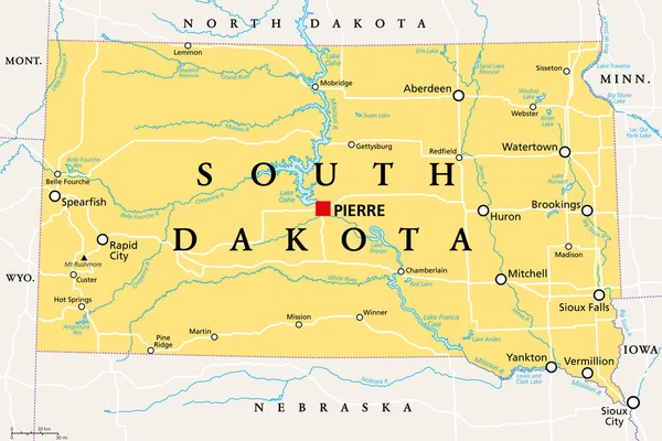
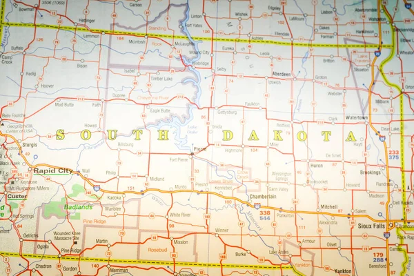
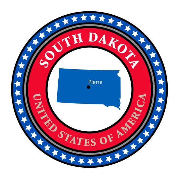
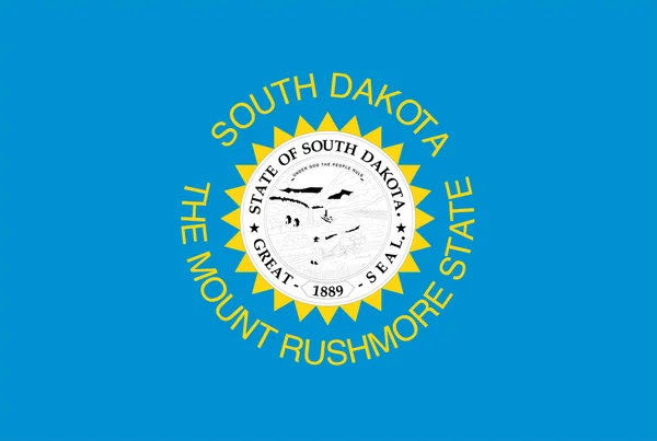
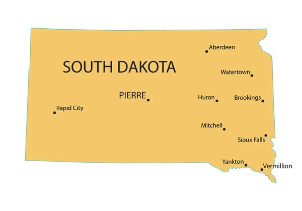
South Dakota, SD, Political Map, With Capital Pierre, And Largest City Sioux Falls. State In The Upper Midwestern Subregion Of The United States Of America, Nicknamed The Mount Rushmore State. Vector.
Vector, 3.62MB, 9000 × 5999 eps

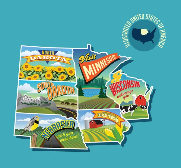
Illustrated Pictorial Map Of Midwest United States. Includes North And South Dakota, Nebraska, Minnesota, Iowa And Wisconsin. Vector Illustration.
Vector, 6.61MB, 5340 × 4946 eps


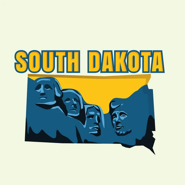
South Dakota SD Letters Map Education Reading Writing Schools 3d Illustration
Image, 2.66MB, 5000 × 4000 jpg


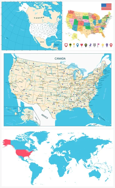


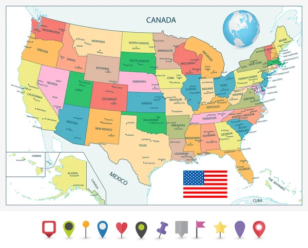
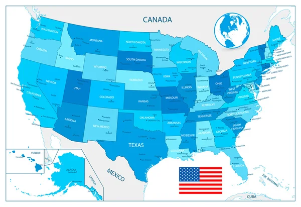
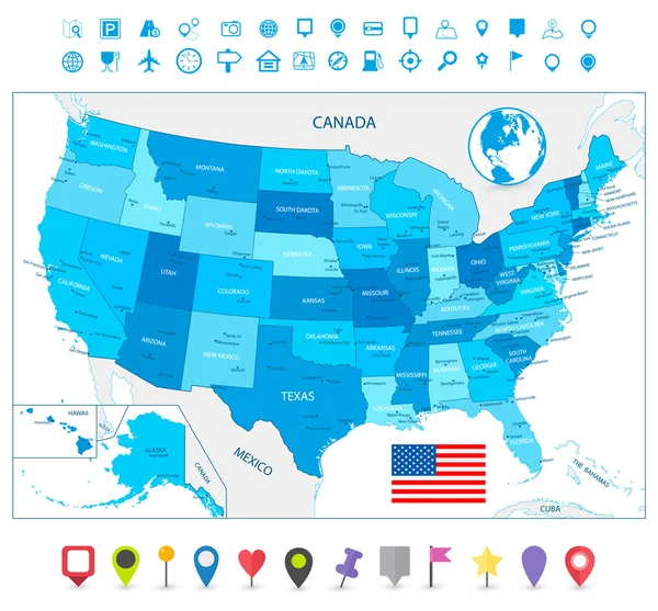
Highly Detailed USA Map Isolated On White. Blue Colors. Highly Detailed Editable Political Map.
Vector, 4.66MB, 5612 × 3858 eps


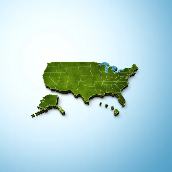
Map Of America. United States Political Map. US Blueprint With The Titles Of States And Regions. All Countries Are Named In The Layer Panel
Vector, 2.06MB, 8192 × 4690 eps


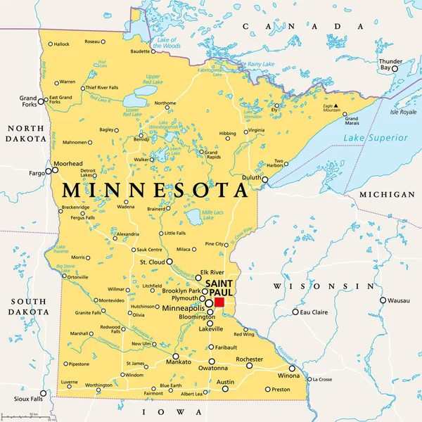
Minnesota, MN, Political Map, With Capital Saint Paul And Metropolitan Area Minneapolis. State In The Upper Midwestern United States. Nicknamed Land Of 10,000 Lakes, North Star State And Gopher State.
Vector, 6.13MB, 6000 × 6000 eps


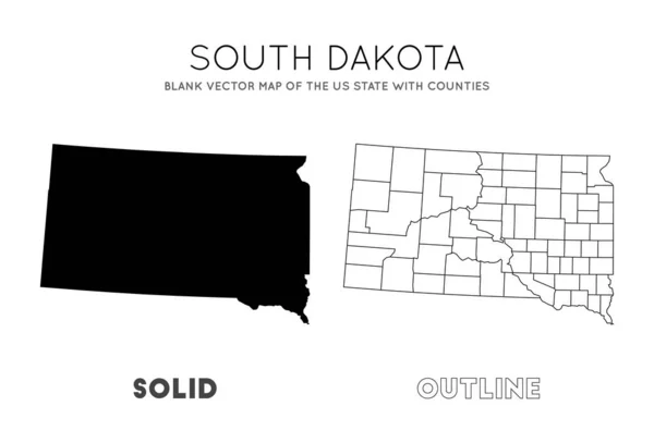
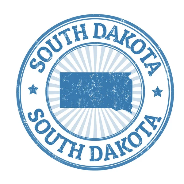
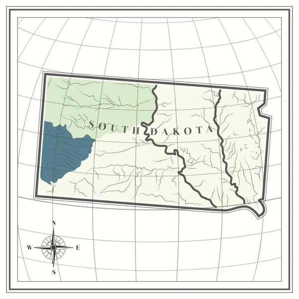
South Dakota Map Blank Vector Map Of The Us State With Counties Borders Of South Dakota For Your
Vector, 0.29MB, 6661 × 4523 eps
Page 1 >> Next