
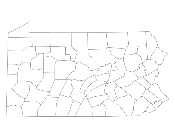
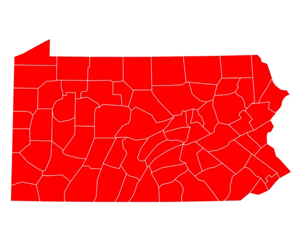
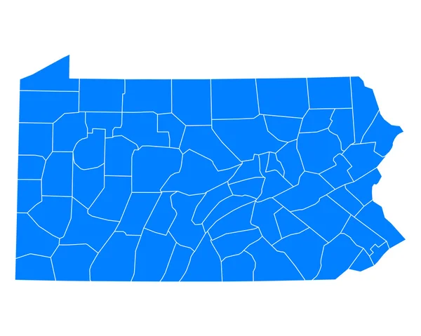
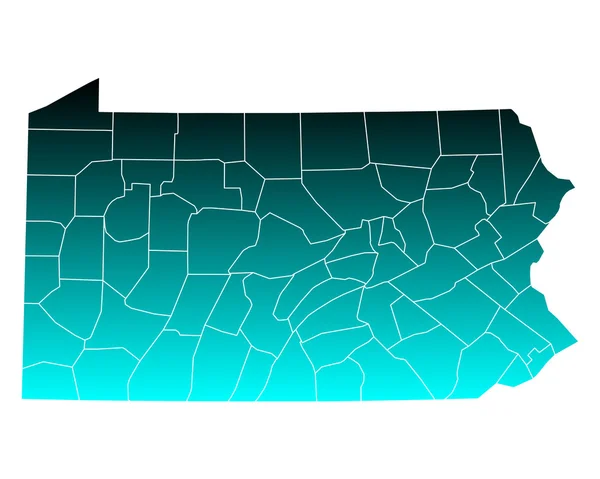
Stock image Pennsylvania County Map page 2


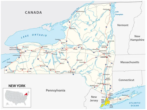
Highly Detailed Vector Silhouettes Of US State Maps, Division United States Into Counties, Political And Geographic Subdivisions Of A States, Mid-Atlantic - Pennsylvania, New Jersey, New York - Set 3 Of 17
Vector, 8.56MB, 9608 × 4501 eps
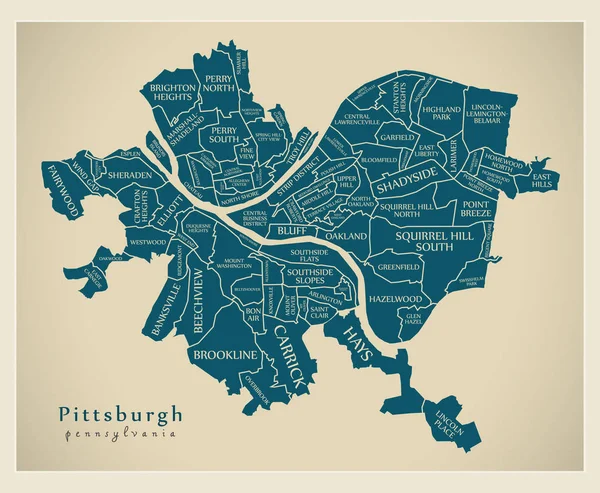
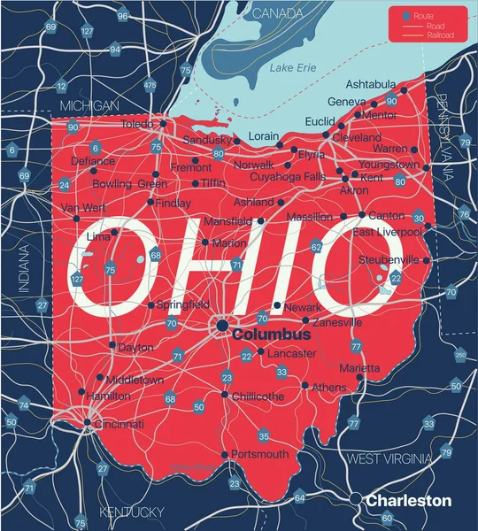
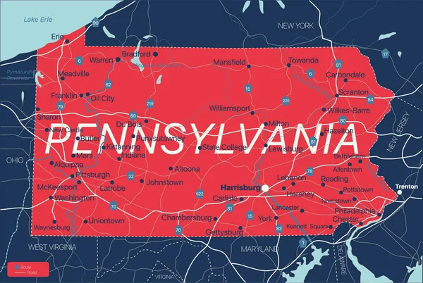
Modern City Map - Pittsburgh Pennsylvania City Of The USA With Neighborhoods And Titles
Vector, 10.73MB, 6084 × 5000 eps


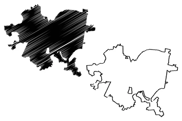
Berks County, Commonwealth Of Pennsylvania (U.S. County, United States Of America, USA, U.S., US) Map Vector Illustration, Scribble Sketch Berks Map
Vector, 0.58MB, 7087 × 4726 eps

Pittsburgh City (United States Cities, United States Of America, Usa City) Map Vector Illustration, Scribble Sketch City Of Pittsburgh Map
Vector, 0.82MB, 7087 × 4726 eps
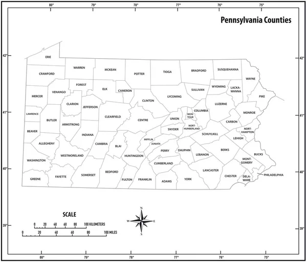
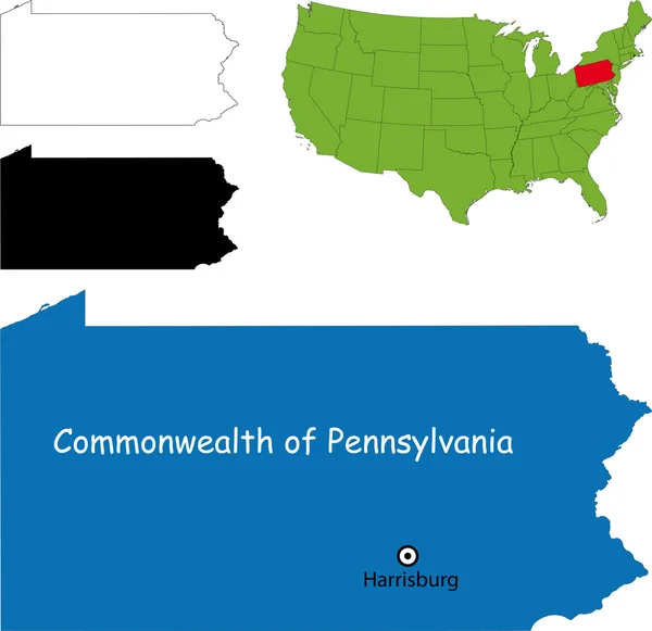
Pennsylvania State Outline Administrative And Political Vector Map In Black And White
Vector, 0.87MB, 3618 × 3100 eps


Fayette County, Commonwealth Of Pennsylvania (U.S. County, United States Of America, USA, U.S., US) Map Vector Illustration, Scribble Sketch Fayette Map
Vector, 0.65MB, 7087 × 4726 eps


Set 1 Of 5 Division United States Into Counties, Political And Geographic Subdivisions Of A States, Highly Detailed Vector Maps With Names And Territory Nicknames
Vector, 5.93MB, 9585 × 4010 eps


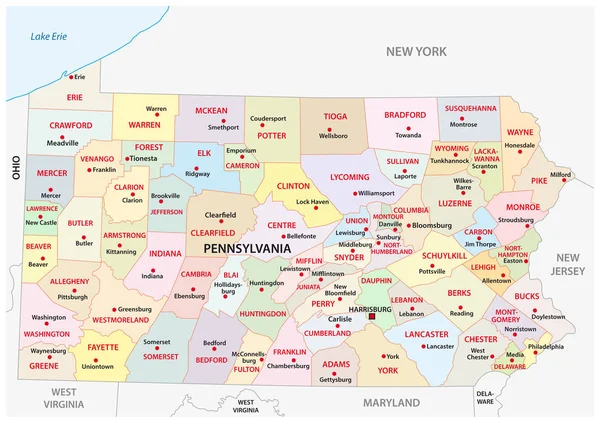
Pennsylvania Counties, Gray Political Map. Commonwealth Of Pennsylvania, A State Of The Mid-Atlantic And Northeastern United States, Subdivided Into 67 Counties. Map With Boundaries And County Names.
Vector, 2.09MB, 9000 × 5702 eps

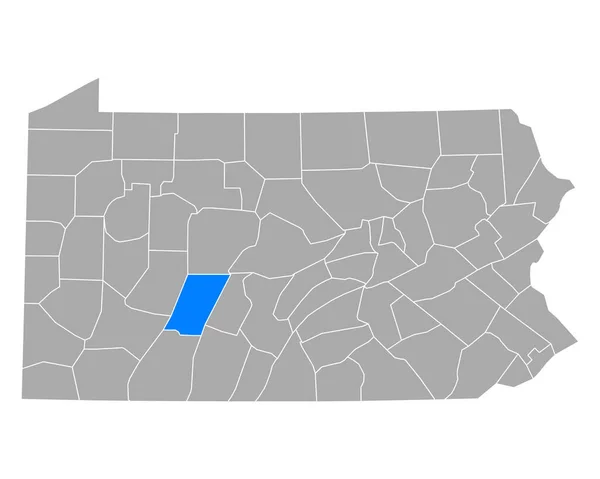
Map Of Montour County In Pennsylvania State On White Background. Single County Map Highlighted By Black Colour On Pennsylvania Map. UNITED STATES, US
Image, 4.23MB, 8000 × 5334 jpg
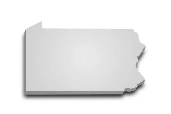
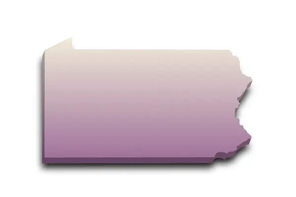
3d Map Of Pennsylvania State With Color. United State Of America, US, United State.
Image, 4.42MB, 8000 × 5334 jpg

Map Of Tioga County In Pennsylvania State On White Background. Single County Map Highlighted By Black Colour On Pennsylvania Map. UNITED STATES, US
Image, 4.23MB, 8000 × 5334 jpg

3d Map Of Pennsylvania State With Color. United State Of America, US, United State.
Image, 6.11MB, 8000 × 5334 jpg
3d Map Of Pennsylvania State With Color. United State Of America, US, United State.
Image, 5.9MB, 8000 × 5334 jpg
Previous << Page 2 >> Next