
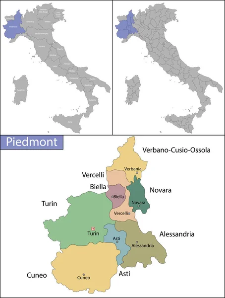
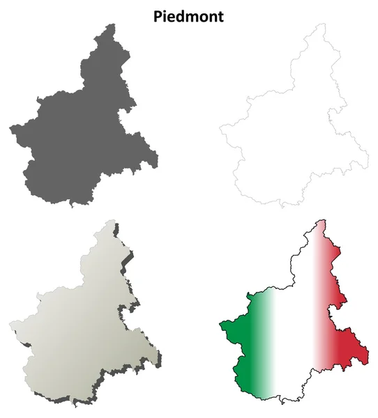
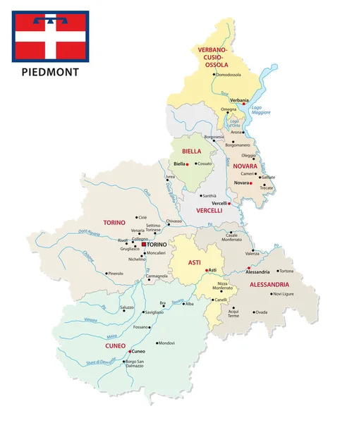
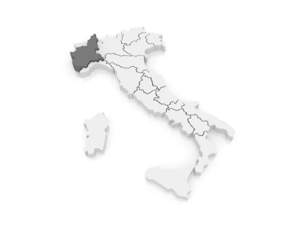
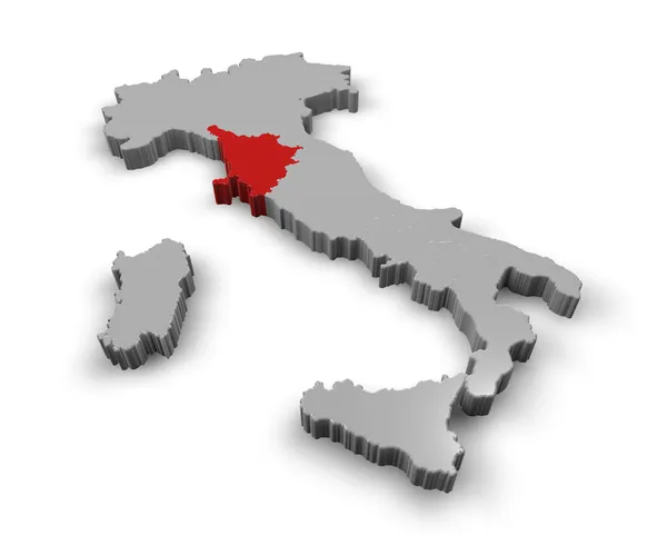
Stock image Piedmont Map
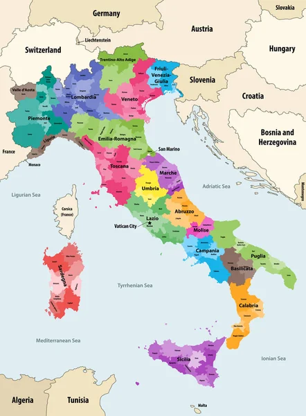
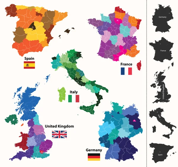
Italy Provinces Colored By Regions Vector Map With Neighbouring Countries And Territories
Vector, 8.02MB, 6154 × 8333 eps
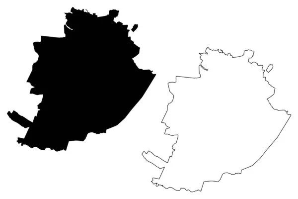
Turin City (Italian Republic, Italy, Piedmont) Map Vector Illustration, Scribble Sketch City Of Turin Map
Vector, 0.61MB, 7087 × 4726 eps

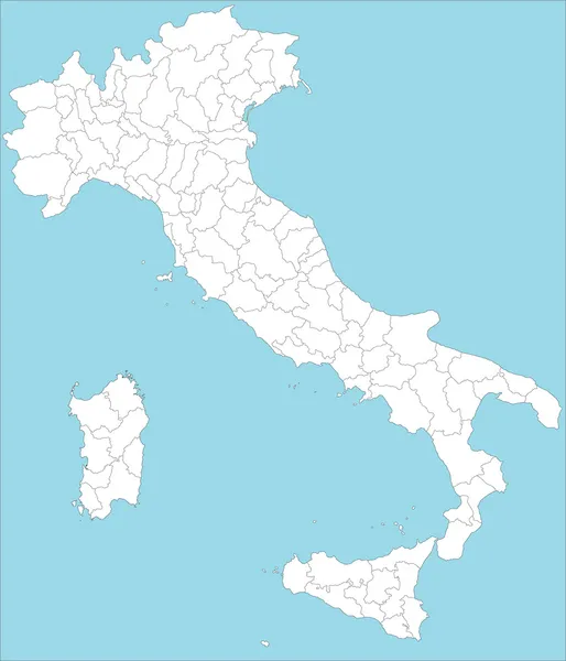


Vector Blank Map Of Italy With Regions And Administrative Divisions. Editable And Clearly Labeled Layers.
Vector, 1.82MB, 4000 × 4725 eps


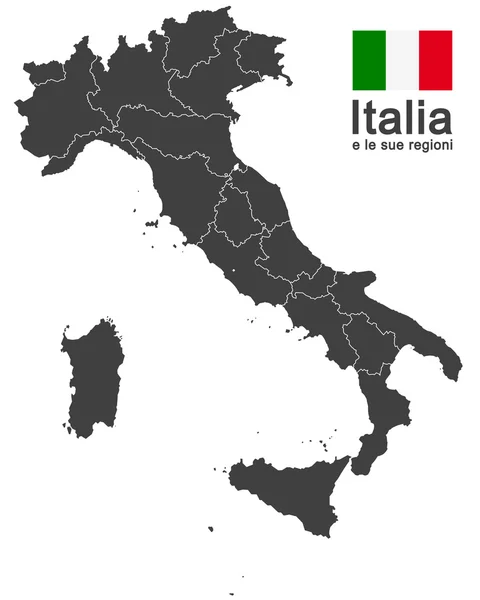
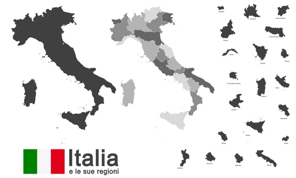
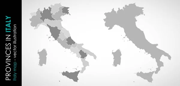
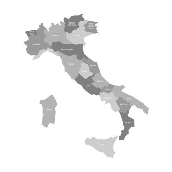
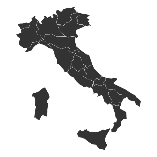
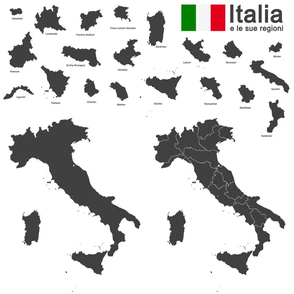
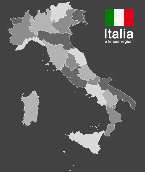
Map Of Italy Divided Into 20 Administrative Regions. Grey Land, White Borders And Black Labels. Simple Flat Vector Illustration
Vector, 0.63MB, 6000 × 6000 eps

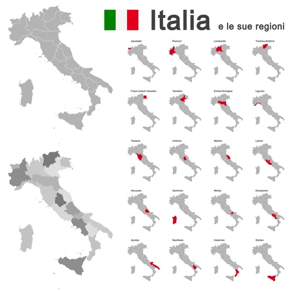
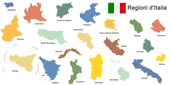
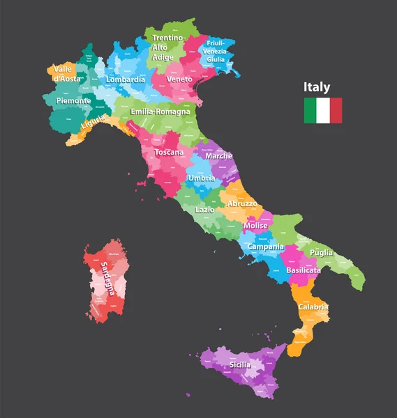
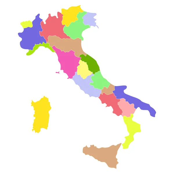
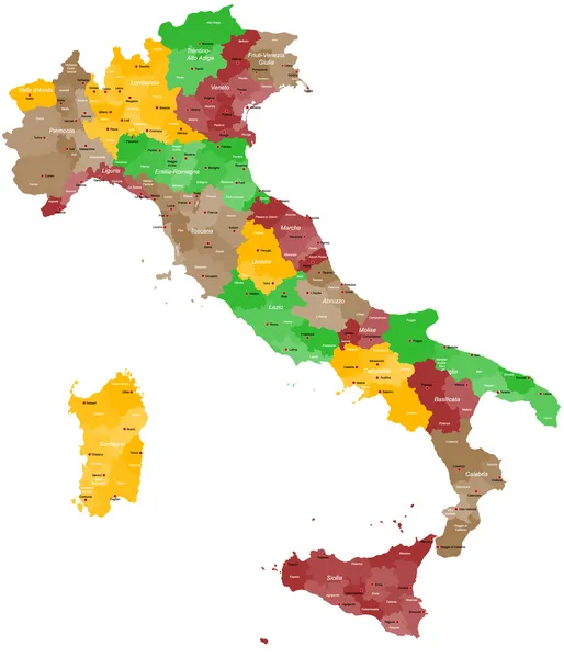
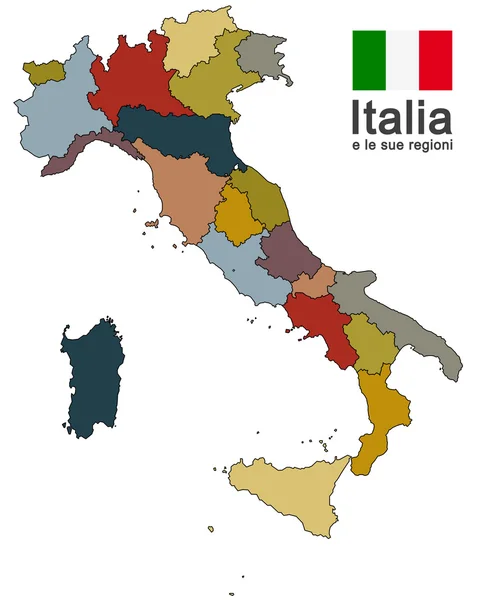
Regions Of Italy. Map Of Regional Country Administrative Divisions. Colorful Vector Illustration
Vector, 0.36MB, 6000 × 6000 eps
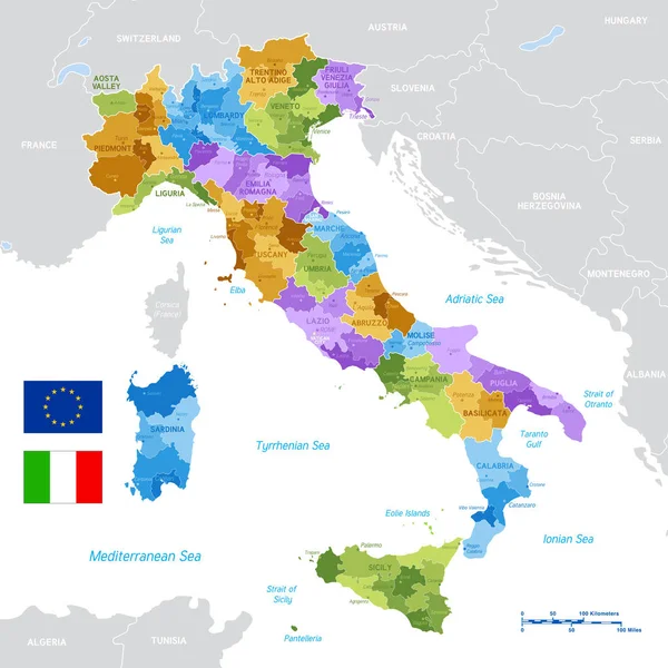
Vector Italy Provinces Map Colored By Regions. All Layers Detachable And Labeled.
Vector, 6.83MB, 6922 × 7292 eps

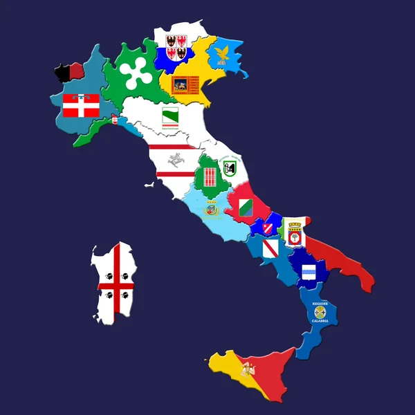
Vector Political Map Of Italy With Full Region And Provinces Boundaries, Completed With Italian And EU Flags.
Vector, 2.2MB, 6000 × 6000 eps
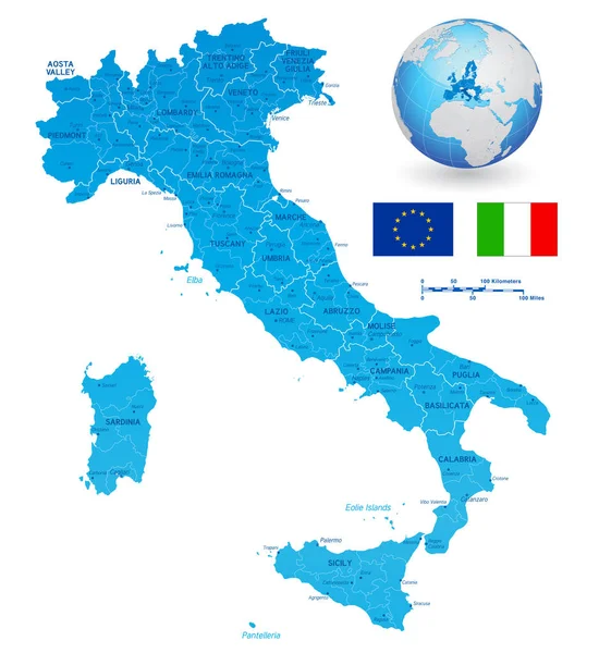
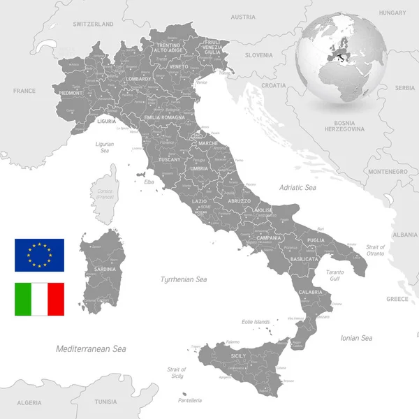
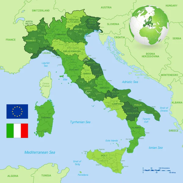
Vector Political Map Of Italy With Full Region And Provinces Boundaries, Completed With Flags And A 3d Globe Of Earth Centered On Italy.
Vector, 8.85MB, 5500 × 6000 eps
Map Of Italy Divided Into 20 Administrative Regions In Four Shades Of Grey. White Labels. Simple Flat Vector Illustration
Vector, 0.43MB, 6000 × 6000 eps


Vector Blank Map Of Italy With Regions And Administrative Divisions. Editable And Clearly Labeled Layers.
Vector, 1.82MB, 4000 × 4725 eps
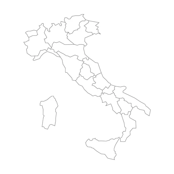
Map Of Italy Divided Into 20 Administrative Regions. White Land And Black Outline Borders. Simple Flat Vector Illustration
Vector, 0.56MB, 6000 × 6000 eps


Map Of Italy Divided Into 20 Administrative Regions In Four Shades Of Yellow. White Labels. Simple Flat Vector Illustration
Vector, 0.43MB, 6000 × 6000 eps
Grey Vector Political Map Of Italy With Full Region And Provinces Boundaries, Completed With Flags And A 3d Globe Of Earth Centered On Italy.
Vector, 11.02MB, 5906 × 5906 eps
Vector Political Map Of Italy With Full Region And Provinces Boundaries, Completed With Flags And A 3d Globe Of Earth Centered On Italy.
Vector, 10.92MB, 6000 × 6000 eps

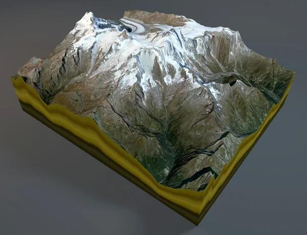
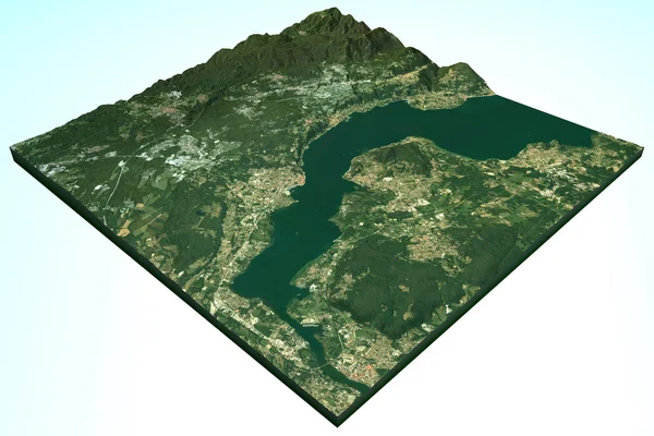

Highly Detailed Physical Map Of Italy,in Vector Format,with All The Relief Forms,regions And Big Cities.
Vector, 3.03MB, 4053 × 5000 eps

Vector Map Of Italy With Regions And Administrative Divisions. Editable And Clearly Labeled Layers.
Vector, 1.92MB, 4000 × 4725 eps

Colorful Map Of Italy Vector Silhouette Illustration Isolated On White Background. Autonomous Communities Of Italy. Detailed Italian Regions Administrative Divisions, Separated Provinces. Outline Map.
Vector, 1.2MB, 4599 × 5187 eps
Page 1 >> Next