Home
Images
Vectors
Videos
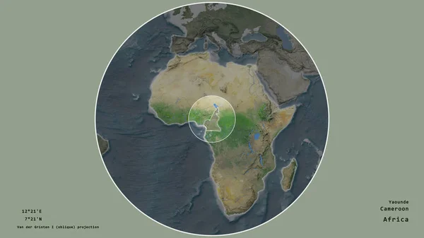
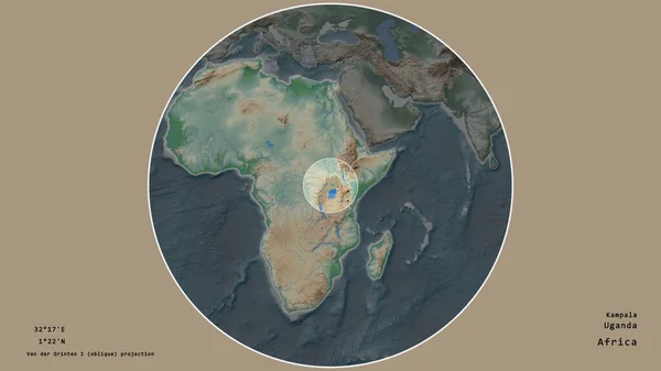
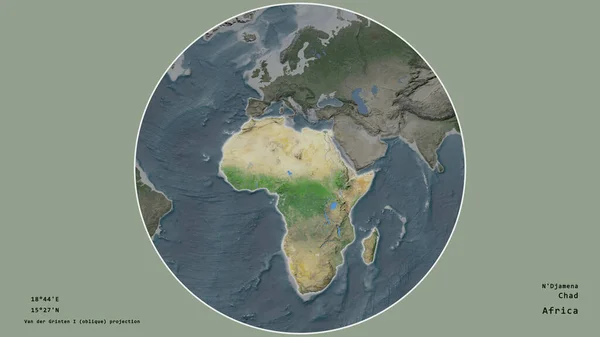
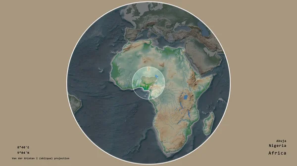
Stock image Area of Caf marked with a circle on the large-scale map of the continent isolated against desaturated background. Capital georeferences and names given. Color physical map
Published:
Jun.26, 2020 08:00:08
Author:
Yarr65
Views:
3
Downloads:
1
File type:
image
/
jpg
File size:
1.8 MB
Orginal size:
2880
x
1620
px
Available sizes:
S
(500 x 281)
M
(1000 x 563)
L
(2000 x 1125)
XL
(2880 x 1620)
EL0
(2880 x 1620)
Level:
bronze
Download Image
Image topics:
Isolated
Shape
Nature
Texture
Sea
Border
Global
Physical
Earth
Planet
World
Ocean
Science
Capital
Globe
Elevation
Outline
Country
Map
Cartography
Geography
Area
Africa
Continent
Land
Aster
Political
Projection
Shoreline
Orthographic
Territory
Atlas
Nasa
Graticule
Caf
Bangui
Bumped
Cartographic
Localized
Stereographic
Bathymetry
Surface Waters
Similar stock images
The Area Of Caf Centered In The Circle Surrounding Its Continent On The Desaturated Background. Capital Georeferences And Names Given. Color Physical Map
2880 × 1620
Area Of Cameroon Marked With A Circle On The Large-scale Map Of The Continent Isolated Against Desaturated Background. Capital Georeferences And Names Given. Satellite Imagery
2880 × 1620
The Area Of Caf Centered In The Circle Surrounding Its Continent On The Desaturated Background. Capital Georeferences And Names Given. Satellite Imagery
2880 × 1620
Area Of Uganda Marked With A Circle On The Large-scale Map Of The Continent Isolated Against Desaturated Background. Capital Georeferences And Names Given. Color Physical Map
2880 × 1620
Area Of Caf Marked With A Circle On The Large-scale Map Of The Continent Isolated Against Desaturated Background. Capital Georeferences And Names Given. Satellite Imagery
2880 × 1620
Area Of Cameroon Marked With A Circle On The Large-scale Map Of The Continent Isolated Against Desaturated Background. Capital Georeferences And Names Given. Color Physical Map
2880 × 1620
The Area Of Chad Centered In The Circle Surrounding Its Continent On The Desaturated Background. Capital Georeferences And Names Given. Satellite Imagery
2880 × 1620
Area Of Nigeria Marked With A Circle On The Large-scale Map Of The Continent Isolated Against Desaturated Background. Capital Georeferences And Names Given. Color Physical Map
2880 × 1620