Home
Images
Vectors
Videos
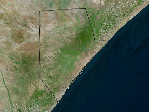
Stock image Jubbada Hoose, region of Somalia. High resolution satellite map
Published:
Feb.24, 2023 13:25:32
Author:
Yarr65
Views:
0
Downloads:
0
File type:
image
/
jpg
File size:
6.76 MB
Orginal size:
3840
x
2880
px
Available sizes:
S
(500 x 375)
M
(1000 x 750)
L
(2000 x 1500)
XL
(3840 x 2880)
EL0
(3840 x 2880)
Level:
bronze
Download Image
Image topics:
Shape
Nature
Border
Contour
Earth
Planet
World
Ocean
Science
Capital
Outline
Country
Map
Geography
Africa
Continent
Land
Zoom
Region
Territory
Atlas
Legend
Som
Somalia
Mogadishu
Stereographic
Kismayo
Administrative Division
Jubbada Hoose
Badhaadhe
Jamame
Similar stock images
Shabeellaha Dhexe, Region Of Somalia. High Resolution Satellite Map
3840 × 2880
Shabeellaha Hoose, Region Of Somalia. High Resolution Satellite Map
3840 × 2880
Northern Cape, Province Of South Africa. Satellite Imagery. Shape Outlined Against Its Country Area. 3D Rendering
2880 × 1620
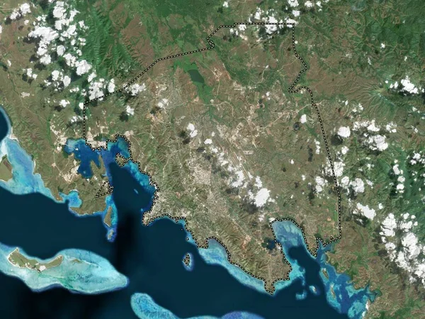
Red Sea, State Of Sudan. Satellite Imagery. Shape Outlined Against Its Country Area. 3D Rendering
2880 × 1620
Togdheer - Region Of Somalia Zoomed And Highlighted With Capital. Satellite Imagery. 3D Rendering
2880 × 1620
The Highlighted Area Of Chile With Capital Point On The Desaturated Map Of Its Neighbourhood. Satellite Imagery
2880 × 1620
Port Moresby, District Of Papua New Guinea. Low Resolution Satellite Map
3840 × 2880
KwaZulu-Natal, Province Of South Africa. Satellite Imagery. Shape Outlined Against Its Country Area. 3D Rendering
2880 × 1620