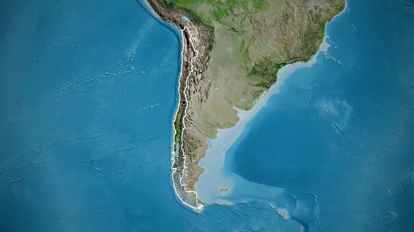
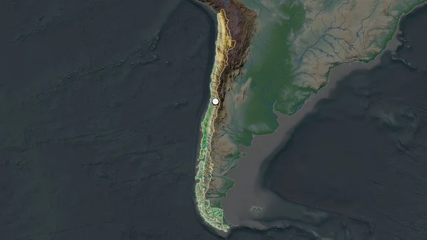
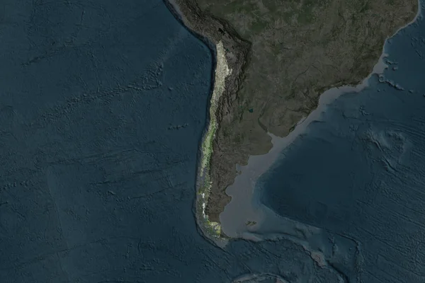
Stock image The highlighted area of Chile with capital point on the desaturated map of its neighbourhood. Satellite imagery

Published: Jul.10, 2020 12:58:12
Author: Yarr65
Views: 0
Downloads: 0
File type: image / jpg
File size: 2.68 MB
Orginal size: 2880 x 1620 px
Available sizes:
Level: bronze
Similar stock images

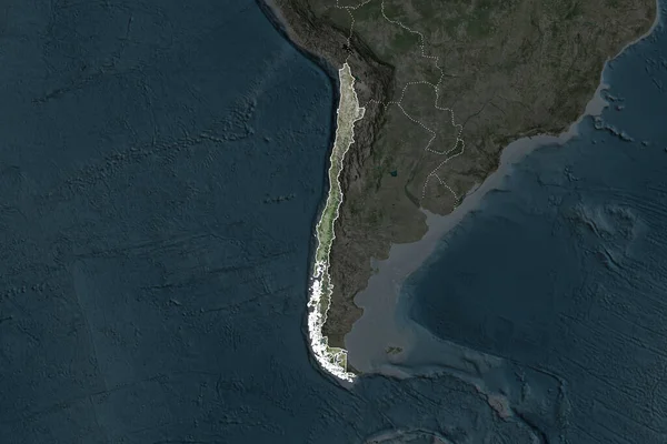
Shape Of Chile Separated By The Desaturation Of Neighboring Areas. Borders. Satellite Imagery. 3D Rendering
3000 × 2000
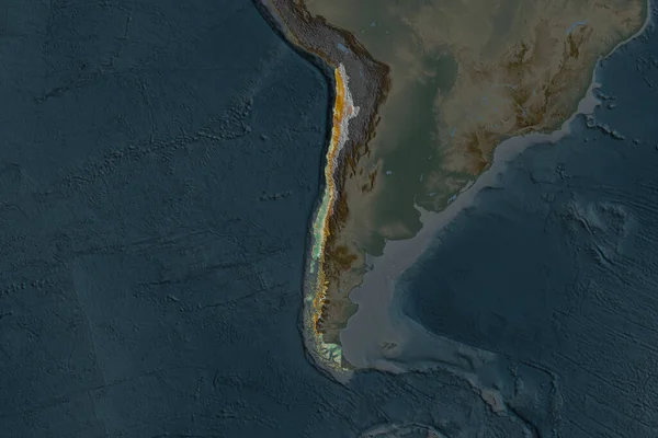
Shape Of Chile Separated By The Desaturation Of Neighboring Areas. Topographic Relief Map. 3D Rendering
3000 × 2000
Shape Of Chile Separated By The Desaturation Of Neighboring Areas. Satellite Imagery. 3D Rendering
3000 × 2000