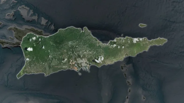
Stock image Malta. Close-up perspective of the country - no outline. satellite imagery
Published: Jul.07, 2020 14:44:19
Author: Yarr65
Views: 0
Downloads: 0
File type: image / jpg
File size: 1.46 MB
Orginal size: 2880 x 1620 px
Available sizes:
Level: bronze
Similar stock images


Saint Martin Area Enlarged And Glowed On A Darkened Background Of Its Surroundings. Satellite Imagery
3840 × 2160