Home
Images
Vectors
Videos
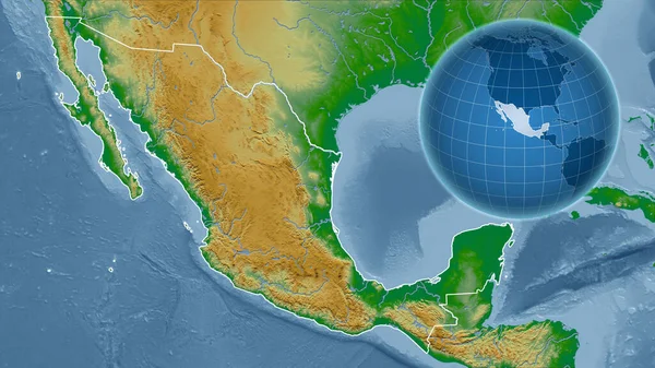
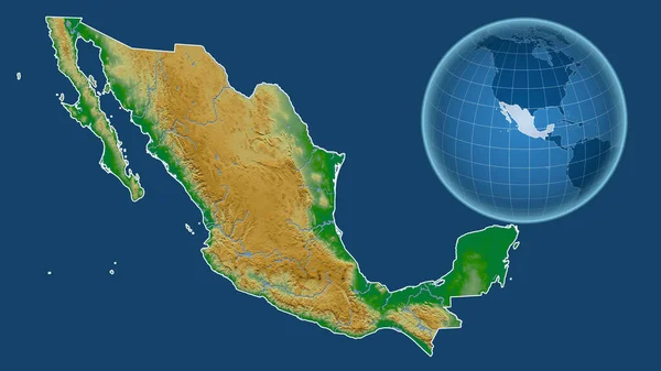
Stock image Mexico. Globe with the shape of the country against zoomed map with its outline isolated on the blue background. color physical map
Published:
Jul.13, 2020 11:19:40
Author:
Yarr65
Views:
1
Downloads:
0
File type:
image
/
jpg
File size:
2.26 MB
Orginal size:
2880
x
1620
px
Available sizes:
S
(500 x 281)
M
(1000 x 563)
L
(2000 x 1125)
XL
(2880 x 1620)
EL0
(2880 x 1620)
Level:
bronze
Download Image
Image topics:
Isolated
Shape
Nature
Texture
Sea
Border
Global
Physical
Earth
Planet
World
Ocean
Science
Globe
Elevation
Outline
Country
Map
Cartography
Geography
Area
Land
Aster
Political
Projection
Shoreline
Orthographic
Territory
Mexico
Atlas
Nasa
Graticule
Bumped
Cartographic
North America
Bathymetry
Mexico City
Surface Waters
Similar stock images
Mexico. Globe With The Shape Of The Country Against Zoomed Map With Its Outline Isolated On The Blue Background. Topographic Relief Map
2880 × 1620
Mexico. Globe With The Shape Of The Country Against Zoomed Map With Its Outline Isolated On The Blue Background. Satellite Imagery
2880 × 1620
Mexico. Globe With The Shape Of The Country Against Zoomed Map With Its Outline Isolated On The Blue Background. Grayscale Elevation Map
2880 × 1620
Zoomed-in View Of Mexico Outline With Perspective Lines Against A Global Map In The Mollweide Projection. Shape Centered. Satellite Imagery
2880 × 1620
Nicaragua On Earth
5000 × 3750
Shape Of Mexico With Its Capital Isolated On A Solid Color Background. Satellite Imagery. 3D Rendering
2987 × 1936
Mexico. Globe With The Shape Of The Country Against Zoomed Map With Its Outline. Color Physical Map
2880 × 1620
Guatemala Area On The Satellite D Map In The Stereographic Projection - Main Composition
2880 × 1620