Home
Images
Vectors
Videos
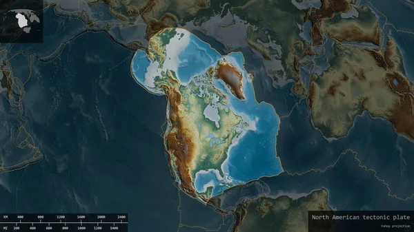
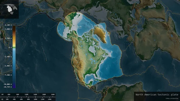
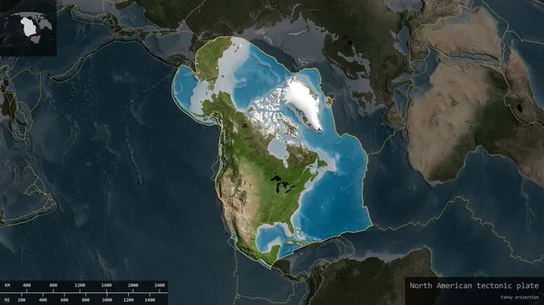
Stock image North American plate shape outlined on a darkened and desaturated background of the satellite map with informative overlays. 3D rendering
Published:
Jun.19, 2020 09:50:42
Author:
Yarr65
Views:
0
Downloads:
0
File type:
image
/
jpg
File size:
4.13 MB
Orginal size:
2880
x
1620
px
Available sizes:
S
(500 x 281)
M
(1000 x 563)
L
(2000 x 1125)
XL
(2880 x 1620)
EL0
(2880 x 1620)
Level:
bronze
Download Image
Image topics:
Nature
Scale
Education
Earth
Science
Globe
Imagery
Composition
Elevation
Ridge
Continent
Core
Borders
Projection
Volcano
Satellite
Continents
Magma
Mantle
Earthquake
Nasa
Rift
Informative
Seismic
Convection
Geophysics
Lithosphere
North American
Ring Of Fire
Seismic Activity
Wegener
Tectonic Plate
Continental Drift
Subduction Zone
Supercontinents
Fahey Projection
Similar stock images
Pacific Plate Shape Outlined On A Darkened And Desaturated Background Of The Satellite Map With Informative Overlays. 3D Rendering
2880 × 1620
North American Plate Shape Outlined On A Darkened And Desaturated Background Of The Relief Map With Informative Overlays. 3D Rendering
2880 × 1620
North American Plate Shape Outlined On A Darkened And Desaturated Background Of The Physical Map With Informative Overlays. 3D Rendering
2880 × 1620
Pacific Plate Shape Outlined On A Darkened And Desaturated Background Of The Relief Map With Informative Overlays. 3D Rendering
2880 × 1620
Pacific Plate Shape Outlined On A Darkened And Desaturated Background Of The Physical Map With Informative Overlays. 3D Rendering
2880 × 1620
South American Plate Shape Outlined On A Darkened And Desaturated Background Of The Satellite Map With Informative Overlays. 3D Rendering
2880 × 1620
Somalian Plate Shape Outlined On A Darkened And Desaturated Background Of The Satellite Map With Informative Overlays. 3D Rendering
2880 × 1620
Okhotsk Plate Shape Outlined On A Darkened And Desaturated Background Of The Physical Map With Informative Overlays. 3D Rendering
2880 × 1620