Home
Images
Vectors
Videos
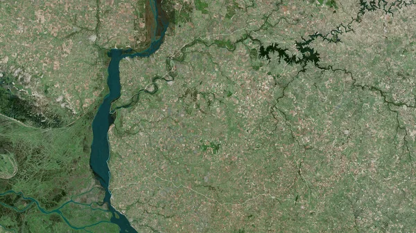
Stock image Setubal, district of Portugal. High resolution satellite map
Published:
Jan.30, 2023 14:09:15
Author:
Yarr65
Views:
1
Downloads:
0
File type:
image
/
jpg
File size:
8.07 MB
Orginal size:
3840
x
2880
px
Available sizes:
S
(500 x 375)
M
(1000 x 750)
L
(2000 x 1500)
XL
(3840 x 2880)
EL0
(3840 x 2880)
Level:
bronze
Download Image
Image topics:
Shape
Nature
Border
Contour
Earth
Planet
World
Ocean
Science
Capital
Europe
Outline
Country
District
Map
Geography
Continent
Land
Portugal
Zoom
Region
Territory
Atlas
Lisbon
Legend
Almada
Stereographic
Seixal
Setubal
Sesimbra
Prt
Alcochete
Amora
Barreiro
Palmela
Montijo
Moita
Administrative Division
Charneca De Caparica
Corroios
Lavradio
Baixa Da Banheira
Monte De Caparica
Pinhal Novo
Similar stock images
Delaware, State Of United States. Satellite Imagery. Shape Outlined Against Its Country Area. 3D Rendering
2880 × 1620
Extended Area Of Uruguay. Satellite Imagery. 3D Rendering
3000 × 2000
Maluku Utara, Province Of Indonesia. Satellite Imagery. Shape Outlined Against Its Country Area. 3D Rendering
2880 × 1620
Mokhotlong, District Of Lesotho. Satellite Imagery. Shape Outlined Against Its Country Area. 3D Rendering
2880 × 1620
Soriano, Department Of Uruguay. Satellite Imagery. Shape Outlined Against Its Country Area. 3D Rendering
2880 × 1620
Puno, Region Of Peru. Colored Elevation Map With Lakes And Rivers
3840 × 2880
Zoom In On Newfoundland And Labrador (province Of Canada) Outlined. Oblique Perspective. Satellite Imagery. 3D Rendering
3840 × 2160
Zoom In On Atacama (region Of Chile) Extruded. Oblique Perspective. Satellite Imagery. 3D Rendering
3840 × 2160