
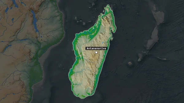
Stock image The highlighted area of Madagascar with capital point and label on the desaturated map of its neighbourhood. Color physical map
Published: Jul.07, 2020 14:22:10
Author: Yarr65
Views: 0
Downloads: 0
File type: image / jpg
File size: 2.78 MB
Orginal size: 2880 x 1620 px
Available sizes:
Level: bronze
Similar stock images


Nouakchott - District Of Mauritania Zoomed And Highlighted With Capital. Satellite Imagery. 3D Rendering
2880 × 1620
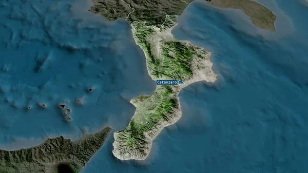
Calabria - Region Of Italy Zoomed And Highlighted With Capital. Satellite Imagery. 3D Rendering
2880 × 1620


