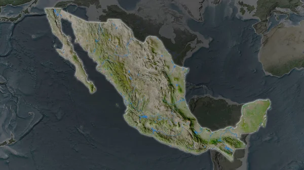
Stock image The highlighted area of Mexico with capital point on the desaturated map of its neighbourhood. Color physical map

Published: Aug.21, 2020 08:34:35
Author: Yarr65
Views: 0
Downloads: 0
File type: image / jpg
File size: 3.13 MB
Orginal size: 2880 x 1620 px
Available sizes:
Level: bronze
Similar stock images


Shape Of Nicaragua Separated By The Desaturation Of Neighboring Areas. Topographic Relief Map. 3D Rendering
3000 × 2000
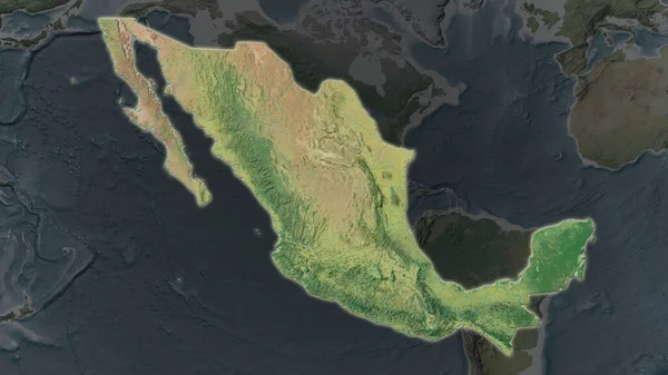
Mexico Area Enlarged And Glowed On A Darkened Background Of Its Surroundings. Topographic Map
3840 × 2160