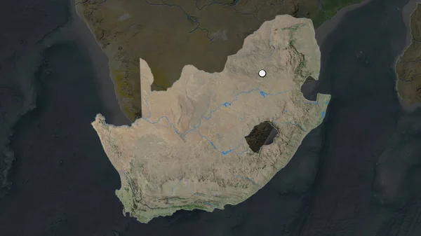
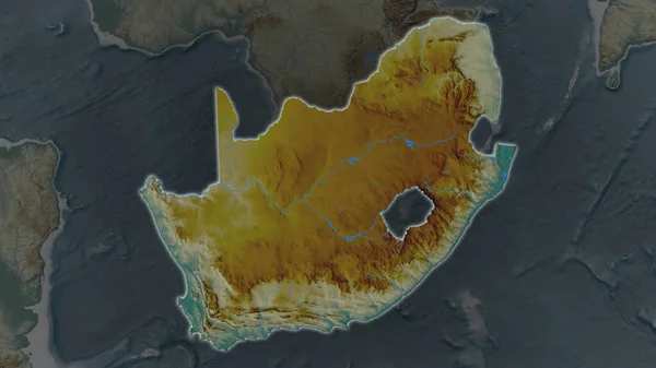
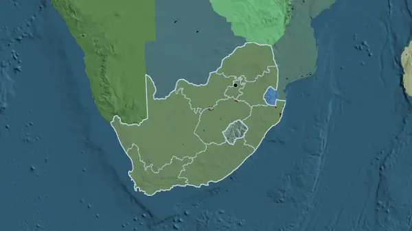
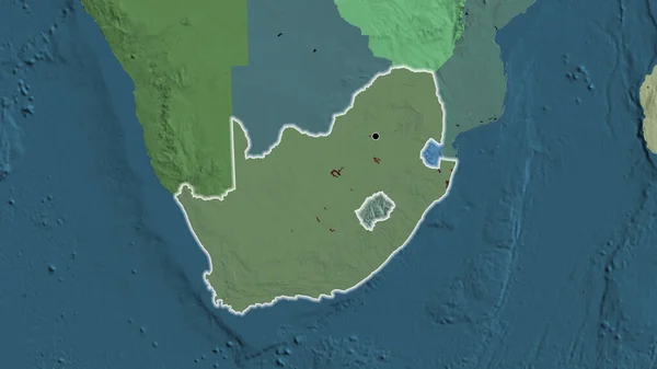
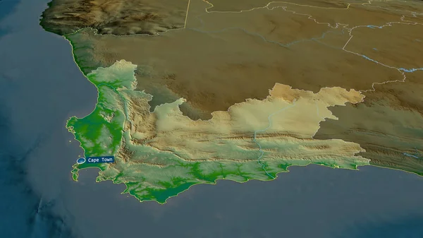
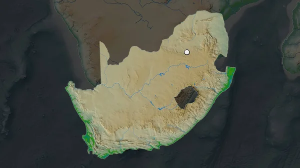
Stock image The highlighted area of South Africa with capital point on the desaturated map of its neighbourhood. Color physical map
Published: Jun.26, 2020 09:56:10
Author: Yarr65
Views: 5
Downloads: 1
File type: image / jpg
File size: 2.39 MB
Orginal size: 2880 x 1620 px
Available sizes:
Level: bronze