Home
Images
Vectors
Videos
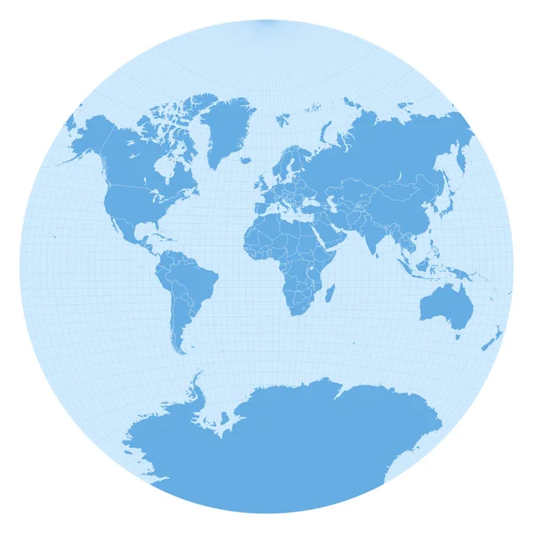
Stock vector Map of The World Van der Grinten projection Globe with latitude and longitude net World map on
Published:
Feb.12, 2021 11:28:38
Author:
gagarych
Views:
65
Downloads:
2
File type:
vector
/
eps
File size:
1.53 MB
Orginal size:
5480
x
5480
px
Available sizes:
S
(500 x 500)
M
(1000 x 1000)
L
(2000 x 2000)
XL
(5480 x 5480)
VECT
(5480 x 5480)
EL0
(5480 x 5480)
Level:
bronze
Download Vector
Vector topics:
White
Vector
Background
Graphic
Illustration
Design
Isolated
Shape
Travel
Abstract
Silhouette
Border
Concept
Stylish
Global
Flat
Data
Contour
Earth
Planet
World
Van
Landmark
Globe
Print
Outline
Map
Geography
Latitude
Longitude
Continent
Unusual
Graph
Chart
Topography
Location
Boundary
Destination
Info
Diagram
Gps
Atlas
Meridian
Coordinates
Parallels
Der
Infographics
Grinten
Infograph
Van Der Grinten
Similar stock vectors
Map Of The World Van Der Grinten II Projection Globe With Latitude And Longitude Net World Map On
5491 × 5491
Map Of The World Modified Stereographic Projection For Europe And Africa Globe With Latitude And
5796 × 5200
World Map In Sphere Van Der Grinten I Projection (EPSG:53029). Detailed Vector Earth Map With Countries Borders And 5-degree Grid.
11459 × 11459
Earth Icon. Planet Design. Vector Graphic
5315 × 5315
Map Of The World Larrivee Projection Globe With Latitude And Longitude Net World Map On Meridians
5980 × 5034
World Map Vector Illustration
4167 × 2917
Map Of The World Lambert Azimuthal Equalarea Projection Globe With Latitude And Longitude Net
5482 × 5482
Map Of The World Goodes Interrupted Mollweide Projection Globe With Latitude And Longitude Net
7270 × 4137