photo free
Home Images Vectors Videos

Stock vector Nordfriesland, or North Frisia, gray political map. Northernmost district of Germany, part of Schleswig-Holstein, with capital Husum and five large islands Sylt, Foehr, Amrum, Pellworm and Nordstrand.

Stock vector Nordfriesland, or North Frisia, gray political map. Northernmost district of Germany, part of Schleswig-Holstein, with capital Husum and five large islands Sylt, Foehr, Amrum, Pellworm and Nordstrand.
Published: Apr.24, 2024 12:17:12
Author: Furian
Views: 0
Downloads: 0
File type: vector / eps
File size: 1.59 MB
Orginal size: 6000 x 6000 px
Available sizes:
S
(500 x 500)
M
(1000 x 1000)
L
(2000 x 2000)
XL
(6000 x 6000)
VECT
(6000 x 6000)
EL0
(6000 x 6000)
Level: silver
Download Vector
Vector topics:

Similar stock vectors

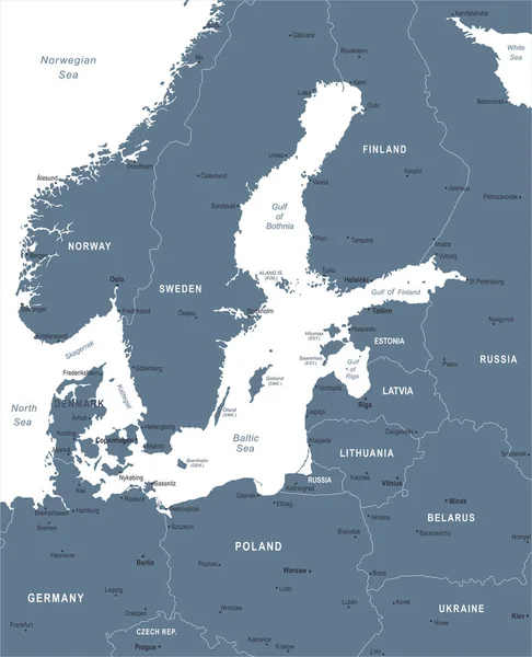
stock vector Baltic Sea Area Map - Vintage Vector Illustration

Baltic Sea Area Map - Vintage Vector Illustration

5500 × 6730
stock vector Danish island Bornholm and Germanys largest island Ruegen, gray political map. Both islands are located in southern Baltic Sea, a marginal sea of the Atlantic Ocean. Illustration on white background.

Danish Island Bornholm And Germanys Largest Island Ruegen, Gray Political Map. Both Islands Are Located In Southern Baltic Sea, A Marginal Sea Of The Atlantic Ocean. Illustration On White Background.

6000 × 6000
stock vector Baltic Sea Area Map - Vector Illustration

Baltic Sea Area Map - Vector Illustration

5500 × 6786
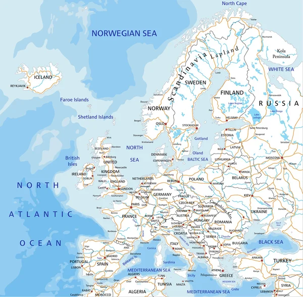
stock vector Europe road map with labeling.

Europe Road Map With Labeling.

4909 × 4817
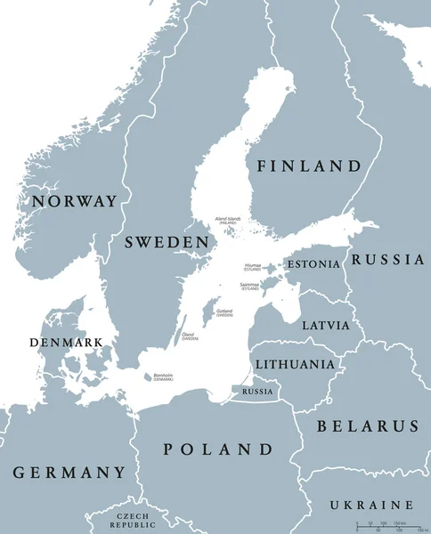
stock vector Baltic Sea area countries political map

Baltic Sea Area Countries Political Map

7264 × 8999