photo free
Home Images Vectors Videos

Stock image England Region Map page 2

stock vector World map silhouette illustration

World Map Silhouette Illustration

Vector, 1.78MB, 4961 × 3508 eps
stock vector Europe map in the dot on blue background . Vector illustration

Europe Map In The Dot On Blue Background . Vector Illustration

Vector, 2.68MB, 4134 × 4134 eps
stock vector Blue Triangle Great Britain Map

Blue Triangle Great Britain Map

Vector, 0.33MB, 4950 × 5483 eps
stock vector London city plan, detailed vector map

London City Plan, Detailed Vector Map

Vector, 4.63MB, 4218 × 5906 eps
stock vector United Kingdom map

United Kingdom Map

Vector, 12.16MB, 7021 × 7200 eps
stock vector Guernsey map

Guernsey Map

Vector, 8.48MB, 6713 × 7013 eps
stock vector Blue map of Europe in the dots. Vector illustration

Blue Map Of Europe In The Dots. Vector Illustration

Vector, 11.7MB, 3543 × 3543 eps
stock vector Political Map Of Europe. Abstract blurred background. Vector Illustration.

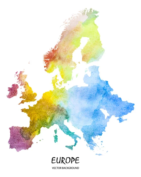
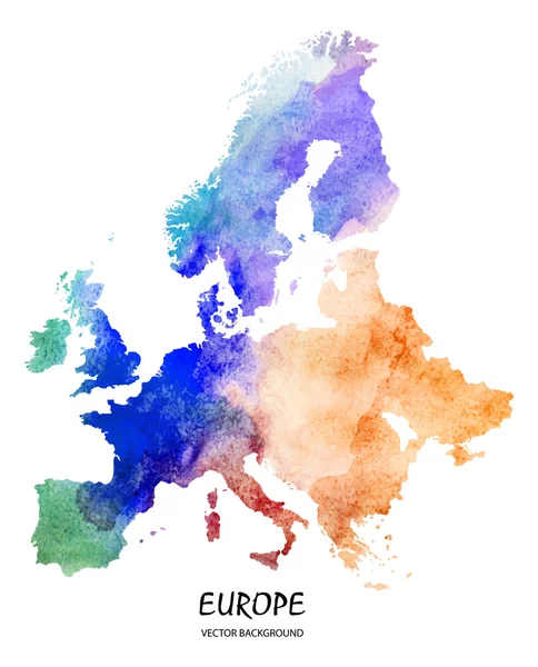
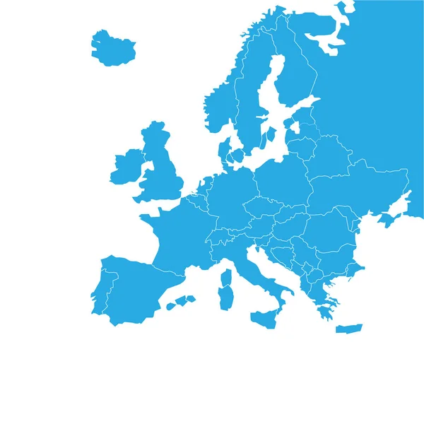
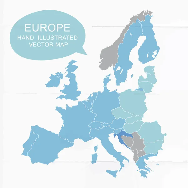
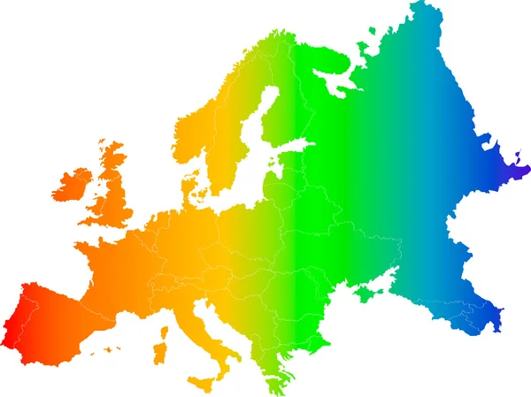
Political Map Of Europe. Abstract Blurred Background. Vector Illustration.

Vector, 2.13MB, 5905 × 5905 eps
stock image British flag

British Flag

Image, 0.89MB, 5000 × 3750 jpg
stock vector Detailed map of US regions, isolated states with names, Colorful infographics of the United States of America, vector illustration

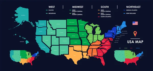
Detailed Map Of US Regions, Isolated States With Names, Colorful Infographics Of The United States Of America, Vector Illustration

Vector, 8.08MB, 11205 × 5237 eps
stock vector Europe map on blurred background

Europe Map On Blurred Background

Vector, 3.04MB, 3000 × 3000 eps
stock vector Colored plan map of London, aerial view

Colored Plan Map Of London, Aerial View

Vector, 4.71MB, 4218 × 5906 eps
stock vector Map of Greater London

Map Of Greater London

Vector, 8.84MB, 7006 × 6706 eps
stock vector Vector map of London

Vector Map Of London

Vector, 0.5MB, 4724 × 3543 eps
stock vector Vector UK administrative map

Vector UK Administrative Map

Vector, 5.78MB, 5889 × 7037 eps
stock vector Edinburgh Downtown Vector Map

Edinburgh Downtown Vector Map

Vector, 5.63MB, 8000 × 8000 eps
stock vector The detailed map of the United Kingdom with regions or states and cities, capitals. Actual current relevant UK, Great Britain administrative devision.

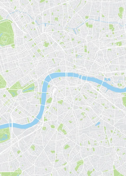
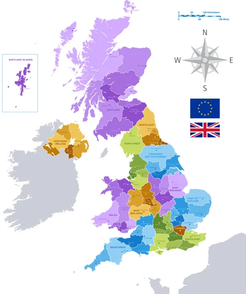
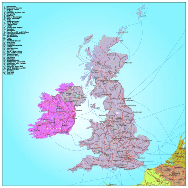
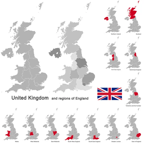
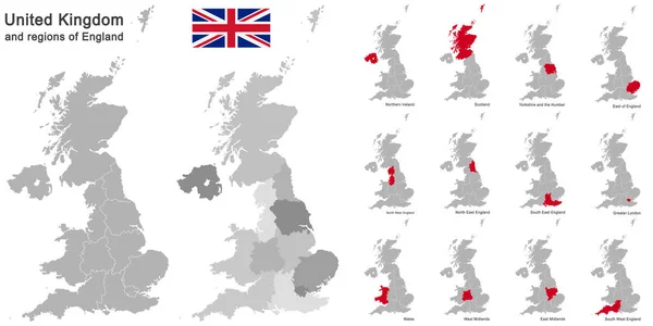
The Detailed Map Of The United Kingdom With Regions Or States And Cities, Capitals. Actual Current Relevant UK, Great Britain Administrative Devision.

Vector, 2.56MB, 5000 × 6500 eps
stock vector England map with borders, cities, capital and administrative divisions. Infographic vector map. Editable layers clearly labeled.

England Map With Borders, Cities, Capital And Administrative Divisions. Infographic Vector Map. Editable Layers Clearly Labeled.

Vector, 2.68MB, 3000 × 3000 eps
stock vector Road and administrative map of France

Road And Administrative Map Of France

Vector, 1.74MB, 3900 × 3900 ai
stock image Desaturated shape of England with its capital, main regional division and the separated Buckinghamshire area. Labels. Satellite imagery. 3D rendering

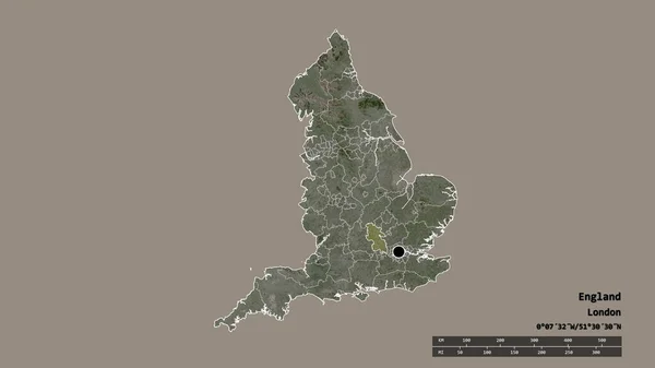
Desaturated Shape Of England With Its Capital, Main Regional Division And The Separated Buckinghamshire Area. Labels. Satellite Imagery. 3D Rendering

Image, 0.98MB, 2880 × 1620 jpg
stock vector England old map with grunge and crumpled paper. Vector illustration

England Old Map With Grunge And Crumpled Paper. Vector Illustration

Vector, 9.61MB, 4167 × 4167 eps
stock vector Road and administrative map of UK and Ireland

Road And Administrative Map Of UK And Ireland

Vector, 1.4MB, 3900 × 3900 ai
stock vector watercolor map of Europe

Watercolor Map Of Europe

Vector, 13.14MB, 4855 × 6067 eps
stock vector Vector illustration map of London

Vector Illustration Map Of London

Vector, 1.55MB, 5869 × 4007 eps
stock image Flag of United Kingdom

Flag Of United Kingdom

Image, 2.78MB, 4700 × 4700 jpg
stock vector Map of England

Map Of England

Vector, 9.42MB, 7021 × 6720 eps
stock vector Europe, map. Poster map of the Europe with country names. Print map of Europe for web and polygraphy on business, economic, political, geography themes. Vector Illustration

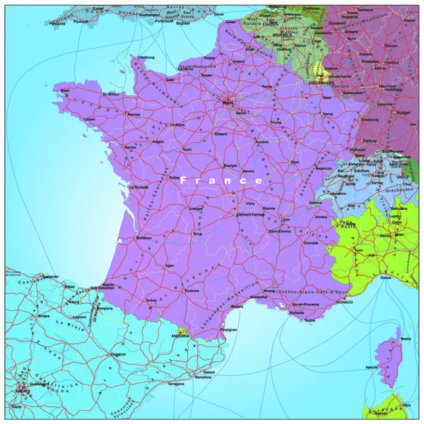
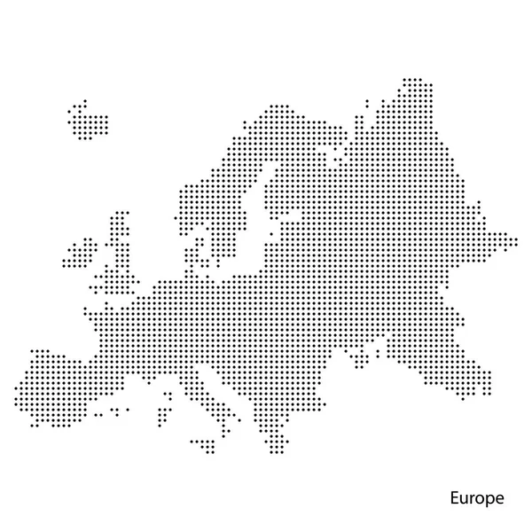
Europe, Map. Poster Map Of The Europe With Country Names. Print Map Of Europe For Web And Polygraphy On Business, Economic, Political, Geography Themes. Vector Illustration

Vector, 1.24MB, 4000 × 4000 eps
stock vector Vector Polygonal Mesh United Kingdom Map

Vector Polygonal Mesh United Kingdom Map

Vector, 0.71MB, 3400 × 5258 eps
stock vector Urban city map of Kingston upon Hull. Vector illustration, Kingston upon Hull map grayscale art poster. Street map image with roads, metropolitan city area view.

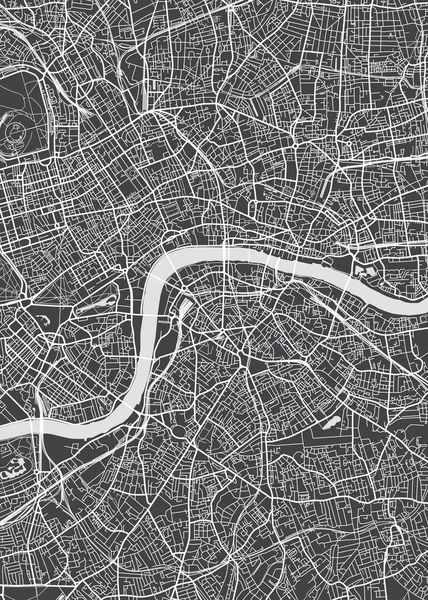
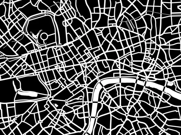
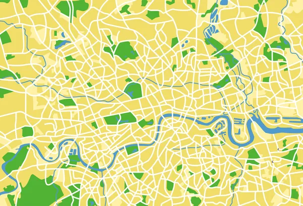
Urban City Map Of Kingston Upon Hull. Vector Illustration, Kingston Upon Hull Map Grayscale Art Poster. Street Map Image With Roads, Metropolitan City Area View.

Vector, 2.72MB, 11904 × 6281 eps
stock vector Isometric 3D England map,  vector illustration with cities, borders, capital, administrative divisions and pointer marks; gradient blue background.  Concept for infographic.

Isometric 3D England Map, Vector Illustration With Cities, Borders, Capital, Administrative Divisions And Pointer Marks; Gradient Blue Background. Concept For Infographic.

Vector, 2.13MB, 4000 × 3000 eps
stock vector Grey political map of Europe. Vector illustration

Grey Political Map Of Europe. Vector Illustration

Vector, 1.68MB, 5905 × 5905 eps
stock vector Stylized vector England map.  Infographic 3d gold map illustration with cities, borders, capital, administrative divisions and pointer marks, shadow; gradient background.

Stylized Vector England Map. Infographic 3d Gold Map Illustration With Cities, Borders, Capital, Administrative Divisions And Pointer Marks, Shadow; Gradient Background.

Vector, 2.49MB, 3000 × 3000 eps
stock vector watercolor map of Europe

Watercolor Map Of Europe

Vector, 13.63MB, 4885 × 6053 eps
stock vector England vector map with infographic elements, pointer marks. Editable template with regions, cities and capital London.

England Vector Map With Infographic Elements, Pointer Marks. Editable Template With Regions, Cities And Capital London.

Vector, 4.58MB, 4000 × 4000 eps
stock vector Europe map

Europe Map

Vector, 2.65MB, 5500 × 4568 eps
stock vector United Kingdom and regions of England

United Kingdom And Regions Of England

Vector, 11.84MB, 5132 × 5132 eps
stock vector Detailed vector map of the Europe - Vector illustration

Detailed Vector Map Of The Europe - Vector Illustration

Vector, 1.02MB, 5000 × 5000 eps
stock vector Rhode Island, political map with capital Providence. State of Rhode Island and Providence Plantations, RI, in the New England region of United States of America. Gray illustration, over white. Vector.

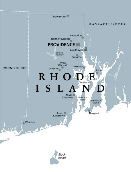
Rhode Island, Political Map With Capital Providence. State Of Rhode Island And Providence Plantations, RI, In The New England Region Of United States Of America. Gray Illustration, Over White. Vector.

Vector, 2.04MB, 6000 × 7823 eps
stock vector Colorfully vector hand illustrated map of Europe.

Colorfully Vector Hand Illustrated Map Of Europe.

Vector, 2.69MB, 4000 × 4000 eps
stock vector vector map of British Isles administrative divisions colored by countries and regions. Districts and counties maps and flags of United Kingdom,Northern Ireland, Wales, Scotland and Republic of Ireland

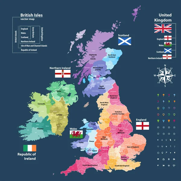
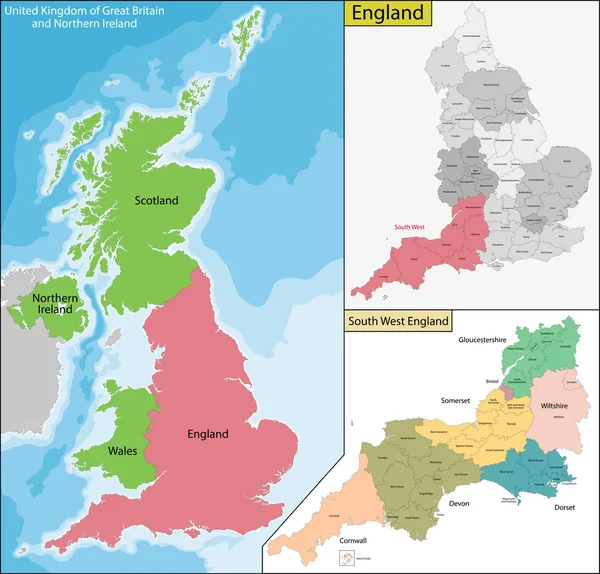
Vector Map Of British Isles Administrative Divisions Colored By Countries And Regions. Districts And Counties Maps And Flags Of United Kingdom,Northern Ireland, Wales, Scotland And Republic Of Ireland

Vector, 11.71MB, 7292 × 7292 eps
stock vector Detailed map of Europe in the dot. Vector illustration

Detailed Map Of Europe In The Dot. Vector Illustration

Vector, 2.43MB, 5905 × 5905 eps
stock image Norfolk, administrative county of England - Great Britain. High resolution satellite map. Locations of major cities of the region. Corner auxiliary location maps

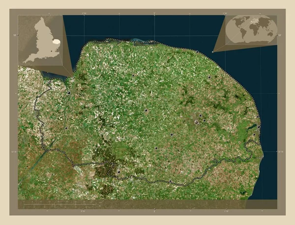
Norfolk, Administrative County Of England - Great Britain. High Resolution Satellite Map. Locations Of Major Cities Of The Region. Corner Auxiliary Location Maps

Image, 9.85MB, 4930 × 3770 jpg
stock vector The Map Of Europe.

The Map Of Europe.

Vector, 2.12MB, 5000 × 5000 eps
stock vector Highly detailed vector silhouettes of US state maps, Division United States into counties, political and geographic subdivisions of a states, New England - Connecticut, Massachusetts, Rhode Island - set 2 of 17

Highly Detailed Vector Silhouettes Of US State Maps, Division United States Into Counties, Political And Geographic Subdivisions Of A States, New England - Connecticut, Massachusetts, Rhode Island - Set 2 Of 17

Vector, 6.38MB, 9608 × 4501 eps
stock vector european country United Kingdom and regions of England

European Country United Kingdom And Regions Of England

Vector, 11.45MB, 11811 × 5906 eps
stock vector Map of United Kingdom with technology icons

Map Of United Kingdom With Technology Icons

Vector, 1.01MB, 8250 × 8250 eps
stock vector Europe color vector map

Europe Color Vector Map

Vector, 1.04MB, 4599 × 3448 eps
stock vector Europe union map flag

Europe Union Map Flag

Vector, 2.34MB, 4958 × 3491 eps
stock vector Map of Dotted Europe. Vector eps10.

Map Of Dotted Europe. Vector Eps10.

Vector, 5.13MB, 3000 × 3000 eps
stock vector Map of Nantucket Island in the US state of Massachusetts

Map Of Nantucket Island In The US State Of Massachusetts

Vector, 0.78MB, 4590 × 3100 eps
Previous << Page 2 >> Next