photo free
Home Images Vectors Videos

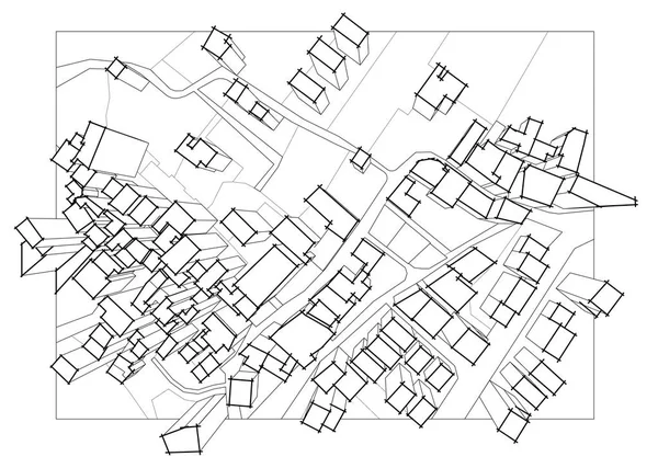
Stock image Cadastral Map page 2

stock image Imaginary cadastral map of territory with buildings, roads and land parcel - Imaginary cadastral map of territory with buildings, roads and land parcel - Web banner design concept

Imaginary Cadastral Map Of Territory With Buildings, Roads And Land Parcel - Imaginary Cadastral Map Of Territory With Buildings, Roads And Land Parcel - Web Banner Design Concept

Image, 28.29MB, 15000 × 5000 jpg
stock image Handshake against an imaginary cadastral map of territory with buildings and land parcel - real estate and building activity agreements, cooperation, partnership and business

Handshake Against An Imaginary Cadastral Map Of Territory With Buildings And Land Parcel - Real Estate And Building Activity Agreements, Cooperation, Partnership And Business

Image, 6.47MB, 4632 × 3088 jpg
stock image Marked territory on cadastral map, top view. Illustration

Marked Territory On Cadastral Map, Top View. Illustration

Image, 4.02MB, 7510 × 5075 jpg
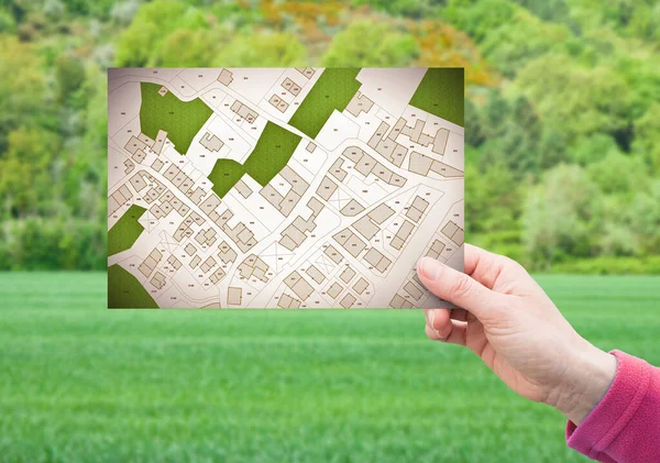
stock image Land plot management - real estate concept with a vacant land on a green residential area available for building construction with hand holding a postcard about an imaginary cadastral map

Land Plot Management - Real Estate Concept With A Vacant Land On A Green Residential Area Available For Building Construction With Hand Holding A Postcard About An Imaginary Cadastral Map

Image, 13.49MB, 6756 × 4751 jpg
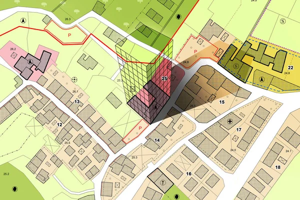
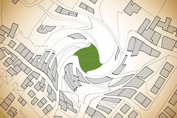
stock image Imaginary cadastral map of territory with building in the center - land registry concept illustration - Note: the map background is totally invented and does not represent any real place.

Imaginary Cadastral Map Of Territory With Building In The Center - Land Registry Concept Illustration - Note: The Map Background Is Totally Invented And Does Not Represent Any Real Place.

Image, 8.49MB, 5284 × 3520 jpg
stock image Imaginary cadastral map of territory with buildings, roads and land parcel - land registry concept illustration - note: the map background is totally invented and does not represent any real place.

Imaginary Cadastral Map Of Territory With Buildings, Roads And Land Parcel - Land Registry Concept Illustration - Note: The Map Background Is Totally Invented And Does Not Represent Any Real Place.

Image, 19.02MB, 5700 × 4080 jpg

stock image Land management concept with an imaginary cadastral map of territory with a vacant land available for sale or building constructio

Land Management Concept With An Imaginary Cadastral Map Of Territory With A Vacant Land Available For Sale Or Building Constructio

Image, 11.39MB, 5760 × 3840 jpg
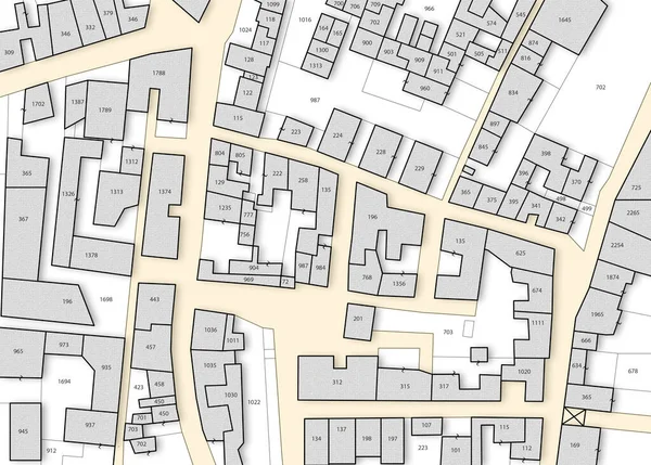
stock image Imaginary cadastral map with buildings, land parcel and vacant plot - land records and property registry concept

Imaginary Cadastral Map With Buildings, Land Parcel And Vacant Plot - Land Records And Property Registry Concept

Image, 11.3MB, 5745 × 4114 jpg
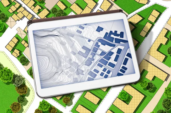
stock image Imaginary cadastral map of territory with buildings, land parcel and green areas with trees - concept with a digital tablet

Imaginary Cadastral Map Of Territory With Buildings, Land Parcel And Green Areas With Trees - Concept With A Digital Tablet

Image, 22.13MB, 6042 × 4023 jpg
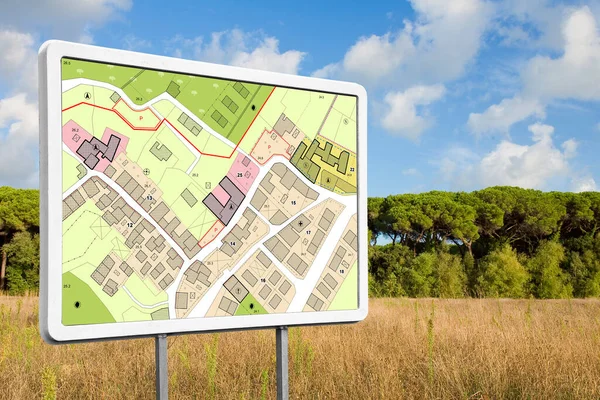
stock image Advertising billboard with an imaginary General Urban Plan with indications of urban destinations buildable areas and land plot in a rural scene

Advertising Billboard With An Imaginary General Urban Plan With Indications Of Urban Destinations Buildable Areas And Land Plot In A Rural Scene

Image, 14.82MB, 5760 × 3840 jpg
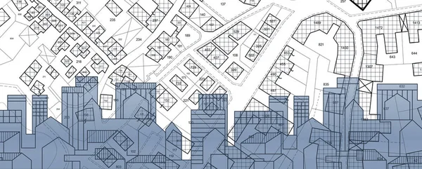
stock image Real Estate concept with cityscape, residential building over an imaginary cadastral map of territory with buildings and land parcel - land registry concept

Real Estate Concept With Cityscape, Residential Building Over An Imaginary Cadastral Map Of Territory With Buildings And Land Parcel - Land Registry Concept

Image, 8.59MB, 7872 × 3168 jpg
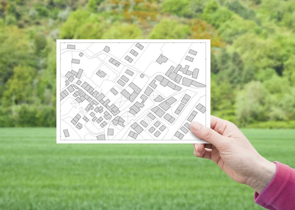
stock image Land plot management - real estate concept with a vacant land on a green residential area available for building construction with hand holding a postcard about an imaginary cadastral map

Land Plot Management - Real Estate Concept With A Vacant Land On A Green Residential Area Available For Building Construction With Hand Holding A Postcard About An Imaginary Cadastral Map

Image, 9.63MB, 6992 × 4992 jpg
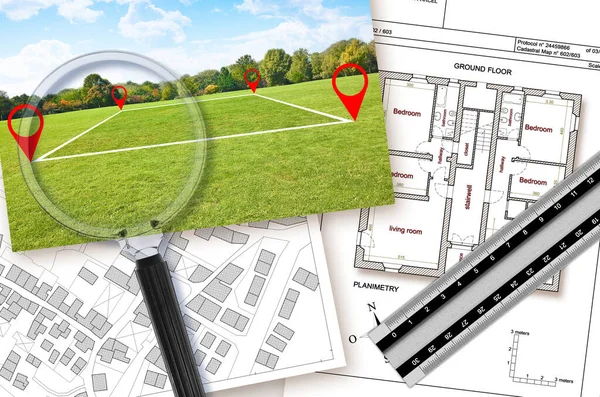
stock image Updating public cadastral databases and information about land registry - concept with an imaginary cadastral map with buildings, land plot, magnifying glass and ruler

Updating Public Cadastral Databases And Information About Land Registry - Concept With An Imaginary Cadastral Map With Buildings, Land Plot, Magnifying Glass And Ruler

Image, 22MB, 7389 × 4902 jpg
stock image Land plot management - Imaginary city map with buildings, land parcels and home silhouette - real estate concept with a vacant land on a green field available for building construction in a residential area for sale

Land Plot Management - Imaginary City Map With Buildings, Land Parcels And Home Silhouette - Real Estate Concept With A Vacant Land On A Green Field Available For Building Construction In A Residential Area For Sale

Image, 9.22MB, 4659 × 3322 jpg
stock image Imaginary cadastral map of territory with buildings, roads, land parcel and notepad with copy space

Imaginary Cadastral Map Of Territory With Buildings, Roads, Land Parcel And Notepad With Copy Space

Image, 18.56MB, 8160 × 4080 jpg
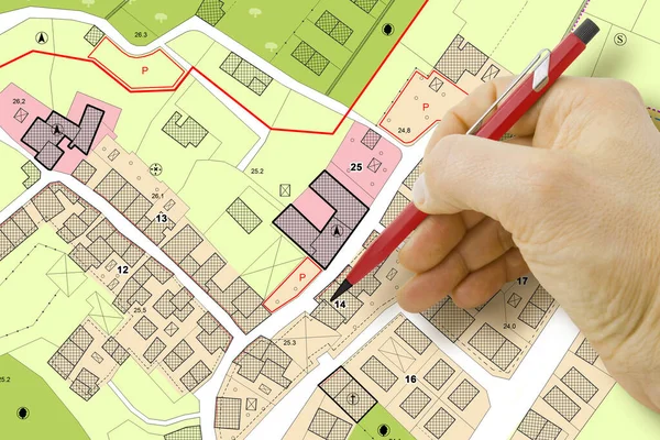
stock image Engineer drawing over an imaginary General Urban Plan of territory with buildings, roads and land parcel - note: the map is totally invented and does not represent any real place

Engineer Drawing Over An Imaginary General Urban Plan Of Territory With Buildings, Roads And Land Parcel - Note: The Map Is Totally Invented And Does Not Represent Any Real Place

Image, 6.87MB, 4752 × 3168 jpg
stock image Real Estate concept with an imaginary cadastral map of territory with cityscape, buildings, roads and land parcel

Real Estate Concept With An Imaginary Cadastral Map Of Territory With Cityscape, Buildings, Roads And Land Parcel

Image, 21.58MB, 5256 × 3504 jpg
stock image Hand drawing an imaginary cadastral map of territory with buildings and land parcel - concept with smarphone.

Hand Drawing An Imaginary Cadastral Map Of Territory With Buildings And Land Parcel - Concept With Smarphone.

Image, 7.91MB, 4752 × 3168 jpg
stock image Old aged dangerous asbestos roof in our cities - one of the most

Old Aged Dangerous Asbestos Roof In Our Cities - One Of The Most

Image, 14.84MB, 4686 × 4686 jpg
stock image Land management with an imaginary cadastral map of territory with a vacant land available for sale or building construction - Concept seen through a magnifying glass

Land Management With An Imaginary Cadastral Map Of Territory With A Vacant Land Available For Sale Or Building Construction - Concept Seen Through A Magnifying Glass

Image, 6.14MB, 4752 × 3168 jpg
stock image Imaginary cadastral map of territory with buildings, roads and land parcel with copy space for text insertion over a cardboard background.

Imaginary Cadastral Map Of Territory With Buildings, Roads And Land Parcel With Copy Space For Text Insertion Over A Cardboard Background.

Image, 19.39MB, 5286 × 3989 jpg
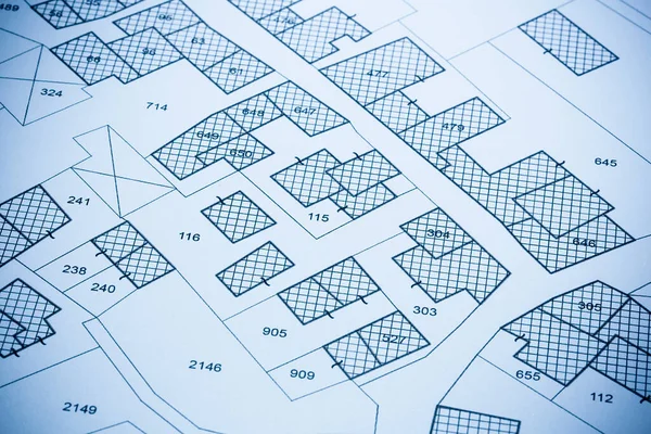
stock image Imaginary cadastral map of territory with buildings and roads -

Imaginary Cadastral Map Of Territory With Buildings And Roads -

Image, 13.31MB, 5551 × 3640 jpg
stock image Imaginary cadastral map with buildings, land parcel and vacant plot printed on pape

Imaginary Cadastral Map With Buildings, Land Parcel And Vacant Plot Printed On Pape

Image, 15.44MB, 5760 × 3840 jpg
stock image Imaginary cadastral map of territory with buildings and land plots drawn with a CAD (Computer-Aided-Design) computer software in dwg format file - concept with hand and digital pen

Imaginary Cadastral Map Of Territory With Buildings And Land Plots Drawn With A CAD (Computer-Aided-Design) Computer Software In Dwg Format File - Concept With Hand And Digital Pen

Image, 8.42MB, 5700 × 3800 jpg
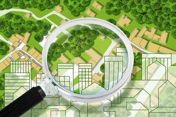
stock image Real Estate concept with an imaginary cadastral map of territory with cityscape, buildings, roads and land parcel - Concept image seen through a magnifying glass

Real Estate Concept With An Imaginary Cadastral Map Of Territory With Cityscape, Buildings, Roads And Land Parcel - Concept Image Seen Through A Magnifying Glass

Image, 17.63MB, 4752 × 3168 jpg
stock image Imaginary cadastral map of territory with buildings, roads and l

Imaginary Cadastral Map Of Territory With Buildings, Roads And L

Image, 8.37MB, 4752 × 3168 jpg
stock image Target icon over an imaginary cadastral map of territory with bu

Target Icon Over An Imaginary Cadastral Map Of Territory With Bu

Image, 8.37MB, 4752 × 3168 jpg
stock image Real Estate concept with an imaginary cadastral map of territory with cityscape, buildings, roads and land parcel

Real Estate Concept With An Imaginary Cadastral Map Of Territory With Cityscape, Buildings, Roads And Land Parcel

Image, 19.61MB, 5256 × 3504 jpg
stock image Planning a new city - Engineer-architect drawing with a pencil a sketch of a new modern imaginary town - concept image.

Planning A New City - Engineer-architect Drawing With A Pencil A Sketch Of A New Modern Imaginary Town - Concept Image.

Image, 24.52MB, 9328 × 3168 jpg
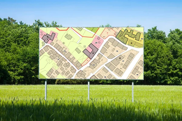
stock image Advertising billboard with an imaginary General Urban Plan with indications of urban destinations buildable areas, land plot - NOTE: the map is totally invented and does not represent any real plac

Advertising Billboard With An Imaginary General Urban Plan With Indications Of Urban Destinations Buildable Areas, Land Plot - NOTE: The Map Is Totally Invented And Does Not Represent Any Real Plac

Image, 12.77MB, 4752 × 3168 jpg
stock image Land plot management - real estate concept with a vacant land on a green field available for building construction in a residential area against an imaginary cadastral ma

Land Plot Management - Real Estate Concept With A Vacant Land On A Green Field Available For Building Construction In A Residential Area Against An Imaginary Cadastral Ma

Image, 18.96MB, 7872 × 3168 jpg
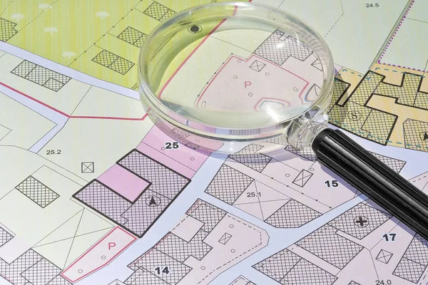
stock image Imaginary cadastral map with buildings, land parcel and vacant plot - property registry and real estate concept seen through a magnifying glass

Imaginary Cadastral Map With Buildings, Land Parcel And Vacant Plot - Property Registry And Real Estate Concept Seen Through A Magnifying Glass

Image, 11.26MB, 5604 × 3736 jpg
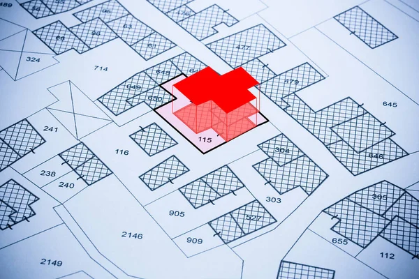
stock image Imaginary cadastral map with buildings, land parcel, vacant plot and Volumetric Format Plan

Imaginary Cadastral Map With Buildings, Land Parcel, Vacant Plot And Volumetric Format Plan

Image, 15.15MB, 5760 × 3840 jpg
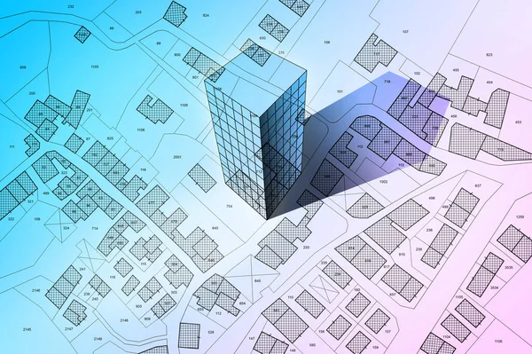
stock image Cadastral reform concept image with an imaginary cadastral map o

Cadastral Reform Concept Image With An Imaginary Cadastral Map O

Image, 8.18MB, 5476 × 3570 jpg
stock image Imaginary cadastral map of territory with building in the center - land registry concept illustration - Note: the map background is totally invented and does not represent any real place.

Imaginary Cadastral Map Of Territory With Building In The Center - Land Registry Concept Illustration - Note: The Map Background Is Totally Invented And Does Not Represent Any Real Place.

Image, 8.75MB, 5284 × 3520 jpg
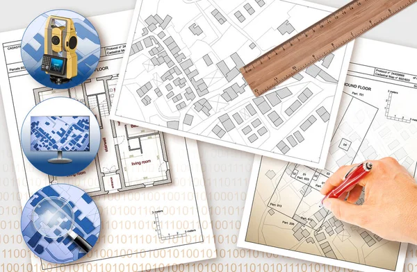
stock image Updating public cadastral digital databases and information about land registry - concept image with an imaginary cadastral map of territory with buildings, roads and land parcel - Note: The map background is totally invented and does not represent a

Updating Public Cadastral Digital Databases And Information About Land Registry - Concept Image With An Imaginary Cadastral Map Of Territory With Buildings, Roads And Land Parcel - Note: The Map Background Is Totally Invented And Does Not Represent A

Image, 30.91MB, 11261 × 7372 jpg
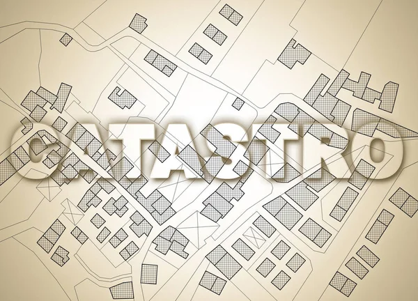
stock image The cadastre text written in Spanish and Portuguese (catastro) o

The Cadastre Text Written In Spanish And Portuguese (catastro) O

Image, 7.93MB, 5751 × 4147 jpg
stock image IMU (which means Unique Municipal Tax) the most unpopular italian tax on land and buildings - concept image against a cadastral map of territory with buildings, roads and land parcel.

IMU (which Means Unique Municipal Tax) The Most Unpopular Italian Tax On Land And Buildings - Concept Image Against A Cadastral Map Of Territory With Buildings, Roads And Land Parcel.

Image, 5.92MB, 5534 × 3445 jpg
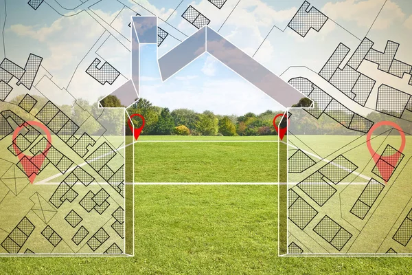
stock image Hand drawing over an imaginary cadastral map of territory with 3

Hand Drawing Over An Imaginary Cadastral Map Of Territory With 3

Image, 15.29MB, 6009 × 4734 jpg
stock image Top view of an imaginary city with buildings, roads and land par

Top View Of An Imaginary City With Buildings, Roads And Land Par

Image, 3.46MB, 4598 × 3278 jpg
stock image Imaginary cadastral map of territory with 3D buildings, fields,

Imaginary Cadastral Map Of Territory With 3D Buildings, Fields,

Image, 3.19MB, 4598 × 3278 jpg
stock image Land plot management - Imaginary city map with buildings, land parcels and home silhouette - real estate concept with a vacant land on a green field available for building construction in a residential area for sale

Land Plot Management - Imaginary City Map With Buildings, Land Parcels And Home Silhouette - Real Estate Concept With A Vacant Land On A Green Field Available For Building Construction In A Residential Area For Sale

Image, 15.47MB, 4686 × 3124 jpg
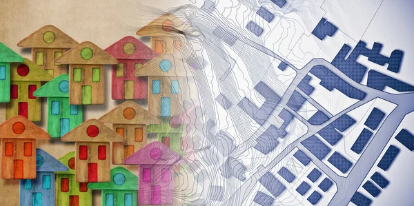
stock image Global village made of wooden houses - Housing concept image with an imaginary city map on background.

Global Village Made Of Wooden Houses - Housing Concept Image With An Imaginary City Map On Background.

Image, 18.53MB, 6349 × 3168 jpg
stock image Architect drawing a new residential building over an imaginary cadastral map of territory.

Architect Drawing A New Residential Building Over An Imaginary Cadastral Map Of Territory.

Image, 5.45MB, 4752 × 3168 jpg
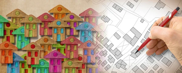
stock image Global village made of wooden houses - Housing concept image with an imaginary city map on background.

Global Village Made Of Wooden Houses - Housing Concept Image With An Imaginary City Map On Background.

Image, 17.45MB, 7872 × 3168 jpg
stock image Updating public cadastral digital databases and information about land registry - concept image with an imaginary cadastral map of territory with buildings, roads and land parcel - Note: The map background is totally invented and does not represent a

Updating Public Cadastral Digital Databases And Information About Land Registry - Concept Image With An Imaginary Cadastral Map Of Territory With Buildings, Roads And Land Parcel - Note: The Map Background Is Totally Invented And Does Not Represent A

Image, 9.47MB, 9517 × 3172 jpg
stock image Advertising billboard immersed in a rural scene with a cadastral

Advertising Billboard Immersed In A Rural Scene With A Cadastral

Image, 12.53MB, 4752 × 3168 jpg
stock image Planning a new city - Engineer-architect drawing with a pencil a sketch of a new modern imaginary town - concept image.

Planning A New City - Engineer-architect Drawing With A Pencil A Sketch Of A New Modern Imaginary Town - Concept Image.

Image, 21.9MB, 9328 × 3168 jpg
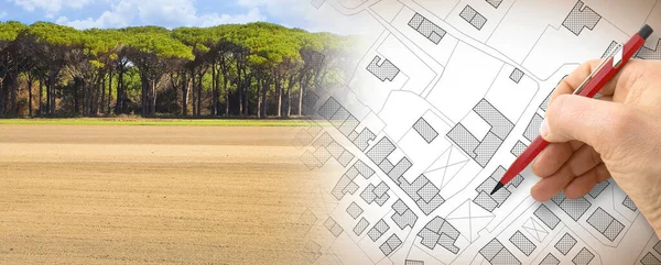
stock image From nature to a new city - concept with a vacant land in a rural scene that fades on the map of an imaginary city map with buildings - nature becomes a city

From Nature To A New City - Concept With A Vacant Land In A Rural Scene That Fades On The Map Of An Imaginary City Map With Buildings - Nature Becomes A City

Image, 18.66MB, 7872 × 3168 jpg
stock image Construction of new electrical systems in a city - concept image

Construction Of New Electrical Systems In A City - Concept Image

Image, 14.53MB, 7872 × 3168 jpg
Previous << Page 2 >> Next