photo free
Home Images Vectors Videos

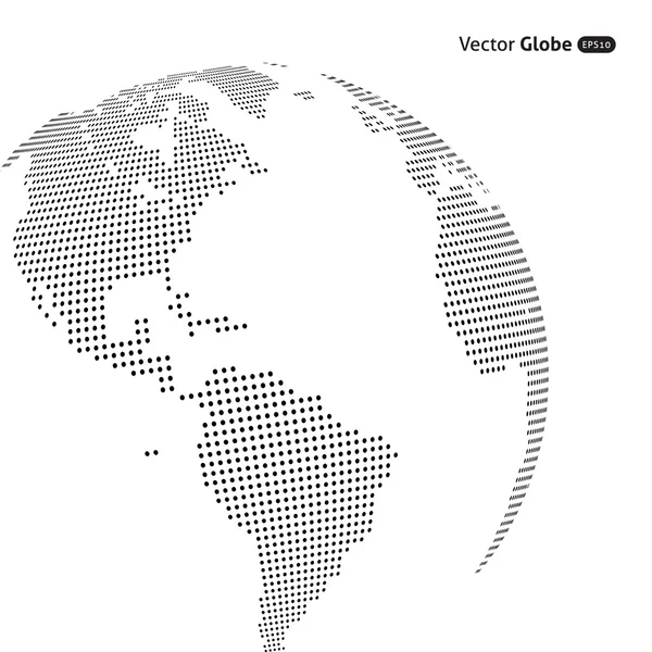
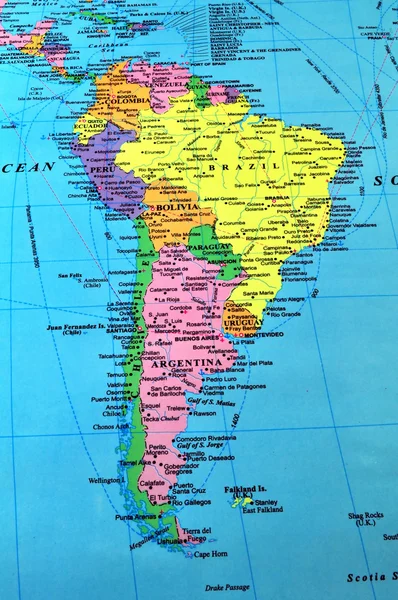
Stock image Central South America

stock vector Colorful South America map

Colorful South America Map

Vector, 3.27MB, 5160 × 7059 eps
stock vector South America - map - illustration.

South America - Map - Illustration.

Vector, 5.16MB, 5400 × 6943 eps
stock vector Political map of Latin America. Latin american states pink highlighted in the map of South America, Central America and Caribbean. Vector illustration

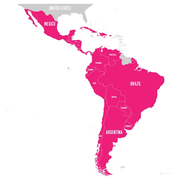
Political Map Of Latin America. Latin American States Pink Highlighted In The Map Of South America, Central America And Caribbean. Vector Illustration

Vector, 1.83MB, 6000 × 6000 eps
stock image 3d Telecommunication Satellite

3d Telecommunication Satellite

Image, 4.56MB, 4000 × 3000 jpg
stock image Crocodiles having a sun bath in South America

Crocodiles Having A Sun Bath In South America

Image, 3.6MB, 3456 × 5184 jpg
stock vector North and South America - map and navigation icons - illustration.

North And South America - Map And Navigation Icons - Illustration.

Vector, 2.48MB, 5400 × 8618 eps
stock vector South America, gray political map with international borders and capitals. A continent, bordered by the Pacific and Atlantic Ocean, North America and the Caribbean Sea. Isolated illustration. Vector.

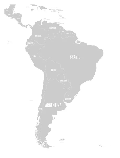
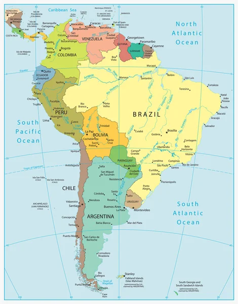
South America, Gray Political Map With International Borders And Capitals. A Continent, Bordered By The Pacific And Atlantic Ocean, North America And The Caribbean Sea. Isolated Illustration. Vector.

Vector, 3.89MB, 6000 × 7368 eps
stock vector South America, political map with borders, capitals and the largest rivers. A continent, bordered by the Pacific and the Atlantic Ocean, by North America and the Caribbean Sea. Illustration. Vector.

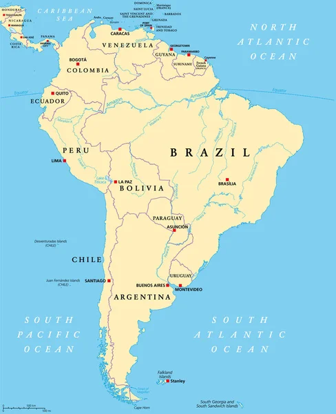
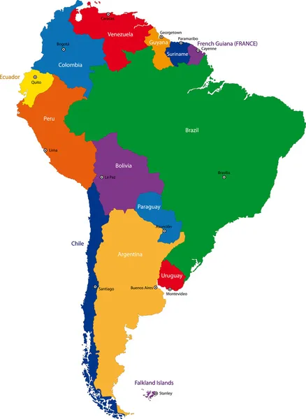
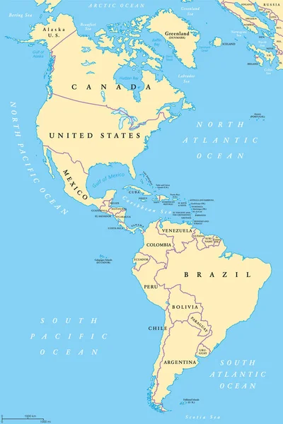
South America, Political Map With Borders, Capitals And The Largest Rivers. A Continent, Bordered By The Pacific And The Atlantic Ocean, By North America And The Caribbean Sea. Illustration. Vector.

Vector, 6.47MB, 6000 × 7368 eps
stock image Physical map of South America, with high resolution details. Flattened satellite view of Planet Earth, its geography and topography. 3D illustration - Elements of this image furnished by NASA

Physical Map Of South America, With High Resolution Details. Flattened Satellite View Of Planet Earth, Its Geography And Topography. 3D Illustration - Elements Of This Image Furnished By NASA

Image, 15.12MB, 7200 × 8100 jpg
stock vector Vector map of South America Continent with Countries, Capitals, Main Cities and Seas and islands names in brilliant colors.

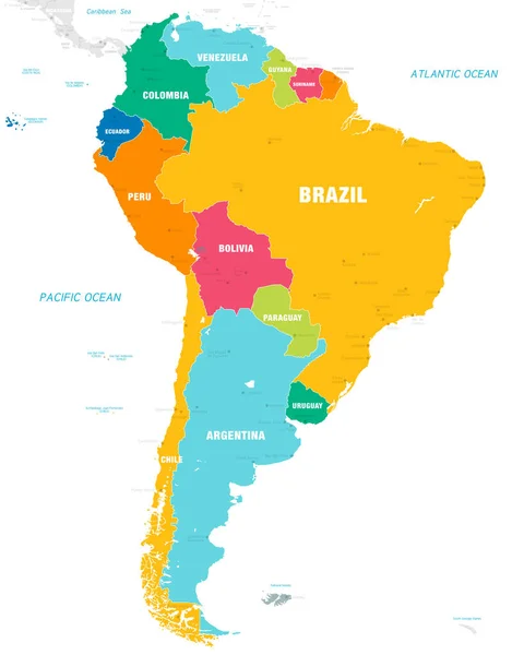
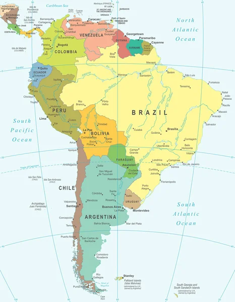
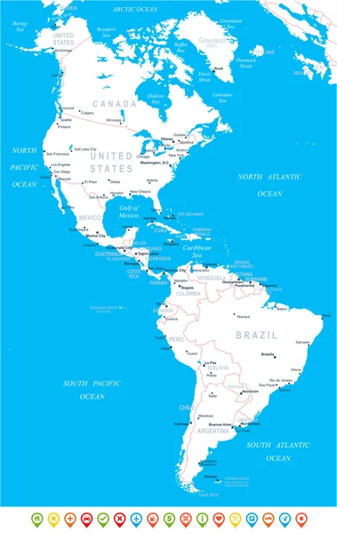
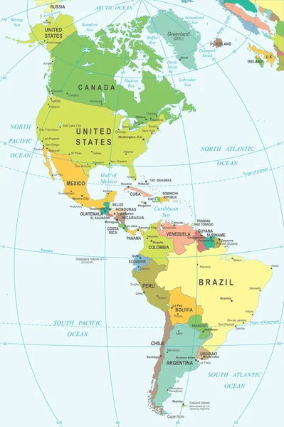
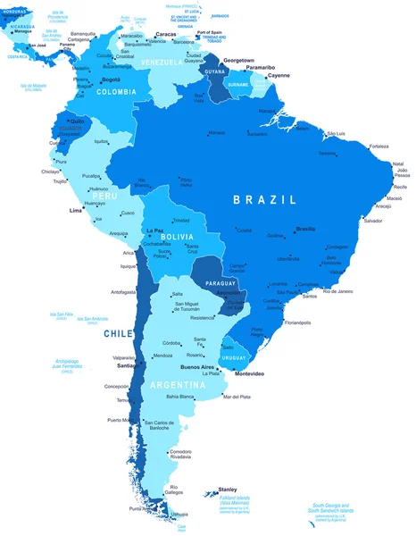
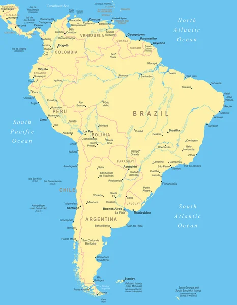
Vector Map Of South America Continent With Countries, Capitals, Main Cities And Seas And Islands Names In Brilliant Colors.

Vector, 2.24MB, 5673 × 7088 eps
stock vector Political map of Americas in four shades of green on white background. North and South America with country labels. Simple flat vector illustration

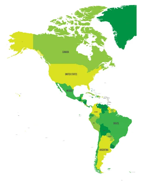
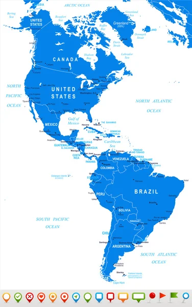
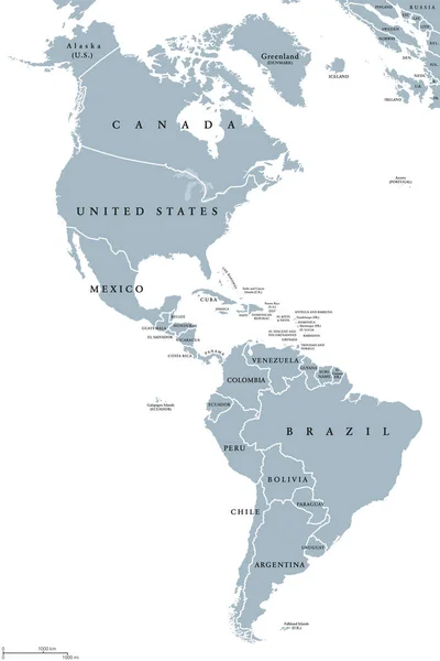
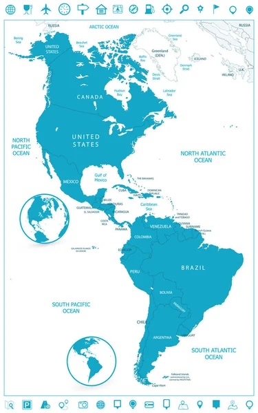
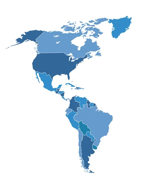
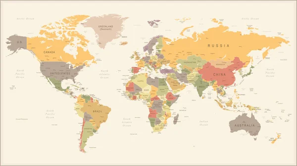
Political Map Of Americas In Four Shades Of Green On White Background. North And South America With Country Labels. Simple Flat Vector Illustration

Vector, 1.69MB, 4572 × 6001 eps
stock vector Political map of Latin America. Latin american states blue highlighted in the map of South America, Central America and Caribbean. Vector illustration

Political Map Of Latin America. Latin American States Blue Highlighted In The Map Of South America, Central America And Caribbean. Vector Illustration

Vector, 1.83MB, 6000 × 6000 eps
stock vector Vector abstract dotted globe, Central heating views over North a

Vector Abstract Dotted Globe, Central Heating Views Over North A

Vector, 3.1MB, 4500 × 4500 eps
stock vector Icons with flags of Americas

Icons With Flags Of Americas

Vector, 12.9MB, 5833 × 3951 eps
stock vector South America Global World

South America Global World

Vector, 0.71MB, 5560 × 5534 eps
stock vector America political map card paper 3D natural vector individual states separate

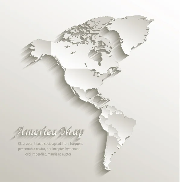
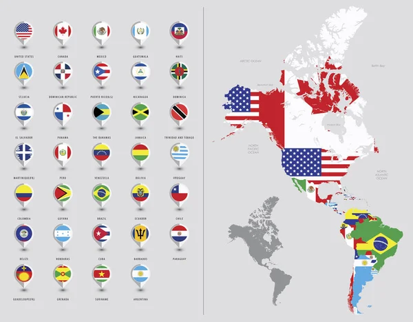
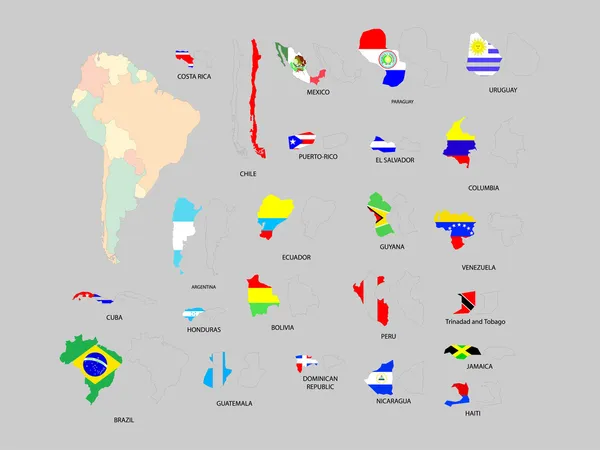
America Political Map Card Paper 3D Natural Vector Individual States Separate

Vector, 5.05MB, 4022 × 4044 eps
stock vector Outline maps of the countries in North and South America continent

Outline Maps Of The Countries In North And South America Continent

Vector, 3.76MB, 2861 × 4051 eps
stock vector North and South America - map, navigation icons - illustration.

North And South America - Map, Navigation Icons - Illustration.

Vector, 2.73MB, 5400 × 8546 eps
stock vector The Americas, political map with single states in different colors. Countries of the Caribbean, of North, Central and South America. Silhouettes. Isolated illustration on white background. Vector.

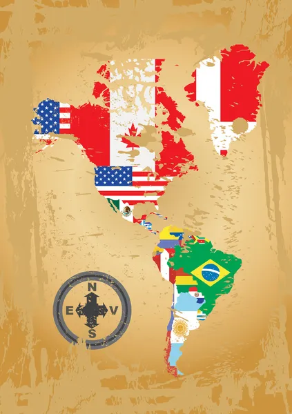
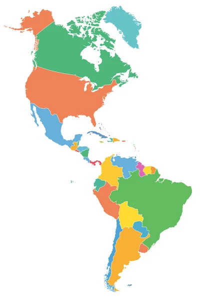
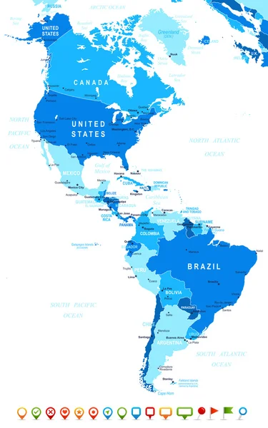
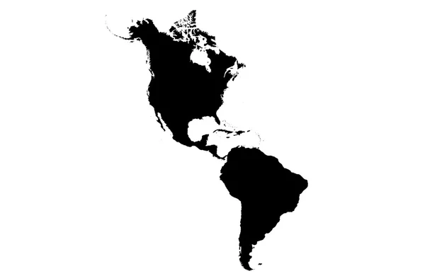
The Americas, Political Map With Single States In Different Colors. Countries Of The Caribbean, Of North, Central And South America. Silhouettes. Isolated Illustration On White Background. Vector.

Vector, 2.46MB, 6000 × 8997 eps
stock image South America map

South America Map

Image, 5.57MB, 2848 × 4288 jpg
stock vector North and South America - map and navigation labels - illustration.

North And South America - Map And Navigation Labels - Illustration.

Vector, 2.92MB, 5400 × 8708 eps
stock vector North and South America - map - illustration.

North And South America - Map - Illustration.

Vector, 2.68MB, 5400 × 8114 eps
stock vector Political map of South America. Simple flat vector map with country name labels in grey

Political Map Of South America. Simple Flat Vector Map With Country Name Labels In Grey

Vector, 1.52MB, 6000 × 7852 eps
stock vector United States Administrative divisions

United States Administrative Divisions

Vector, 4.06MB, 4186 × 3328 eps
stock vector Map of North and South America. Flags of the Americas

Map Of North And South America. Flags Of The Americas

Vector, 13.53MB, 7677 × 5985 eps
stock vector North and South America - map - illustration.

North And South America - Map - Illustration.

Vector, 3.11MB, 5400 × 8114 eps
stock vector The Americas, North and South America, political map

The Americas, North And South America, Political Map

Vector, 5.31MB, 6520 × 9777 eps
stock vector North and South America - map and navigation icons - illustration.

North And South America - Map And Navigation Icons - Illustration.

Vector, 2.49MB, 5400 × 8602 eps
stock vector South America Detailed Map

South America Detailed Map

Vector, 6.36MB, 6426 × 8192 eps
stock vector North and South America - map and navigation labels - illustration.

North And South America - Map And Navigation Labels - Illustration.

Vector, 2.35MB, 5400 × 8567 eps
stock vector South America Region. Map of countries in southern America. Vector illustration

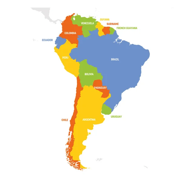
South America Region. Map Of Countries In Southern America. Vector Illustration

Vector, 1.37MB, 6000 × 6000 eps
stock vector South America

South America

Vector, 1.98MB, 2365 × 1774 eps
stock vector North and South America - map and navigation icons - illustration.

North And South America - Map And Navigation Icons - Illustration.

Vector, 2.56MB, 5400 × 8618 eps
stock vector Central America - map - illustration.

Central America - Map - Illustration.

Vector, 5.47MB, 7400 × 5549 eps
stock vector The Americas political map

The Americas Political Map

Vector, 3.26MB, 6521 × 9777 eps
stock vector The Americas, single states, political map with national borders. Caribbean, North, Central and South America. Different colored countries with English country names. Illustration over white. Vector.

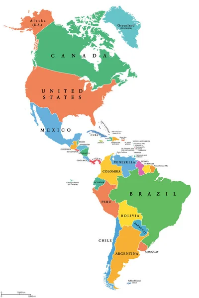
The Americas, Single States, Political Map With National Borders. Caribbean, North, Central And South America. Different Colored Countries With English Country Names. Illustration Over White. Vector.

Vector, 3.1MB, 6000 × 8997 eps
stock vector Central America - map - illustration.

Central America - Map - Illustration.

Vector, 3.9MB, 7400 × 5548 eps
stock vector South America - map - illustration.

South America - Map - Illustration.

Vector, 3.05MB, 5400 × 6946 eps
stock vector North and South America - map - illustration.

North And South America - Map - Illustration.

Vector, 1.91MB, 5400 × 8116 eps
stock vector North and South America high detailed vector map

North And South America High Detailed Vector Map

Vector, 9.5MB, 10207 × 14583 eps
stock vector Central America and Carribean states political map. Black outline borders with black country names labels. Simple flat vector illustration

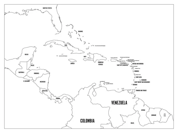
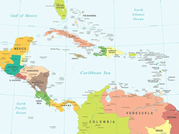
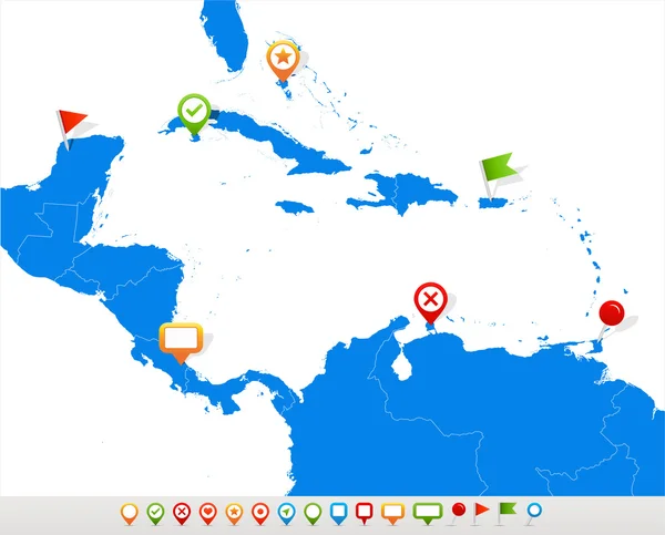
Central America And Carribean States Political Map. Black Outline Borders With Black Country Names Labels. Simple Flat Vector Illustration

Vector, 2.59MB, 8000 × 6000 eps
stock vector North and South America Political Map and Navigation Icons

North And South America Political Map And Navigation Icons

Vector, 6.03MB, 5125 × 8192 eps
stock vector Central America with highlighted Mexico map.

Central America With Highlighted Mexico Map.

Vector, 1.24MB, 5000 × 3500 eps
stock vector Americas Map Vector Isolated

Americas Map Vector Isolated

Vector, 5.6MB, 5000 × 6254 eps
stock vector South America - map - illustration.

South America - Map - Illustration.

Vector, 5.09MB, 5400 × 6946 eps
stock vector South America map and navigation icons - Illustration.

South America Map And Navigation Icons - Illustration.

Vector, 1.71MB, 5400 × 7423 eps
stock image Americas

Americas

Image, 1.02MB, 4300 × 2800 jpg
stock vector Central America map and navigation icons - Illustration.

Central America Map And Navigation Icons - Illustration.

Vector, 1.29MB, 7400 × 5970 eps
stock vector Vintage Retro World Map - illustration

Vintage Retro World Map - Illustration

Vector, 9.24MB, 8900 × 4991 eps
stock vector Political map of South America. Simple flat vector map with country name labels in four shades of grey

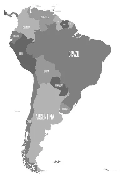
Political Map Of South America. Simple Flat Vector Map With Country Name Labels In Four Shades Of Grey

Vector, 0.93MB, 6000 × 9091 eps
Page 1 >> Next