
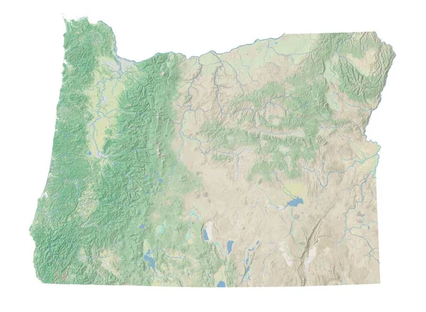
Stock image High Resolution Map page 2


Geographical Map Of North America, Western Europe And North Africa And. Detailed Flat View Of The Planet Earth And Its Landforms. 3D Illustration - Elements Of This Image Furnished By NASA
Image, 19.42MB, 12500 × 3700 jpg


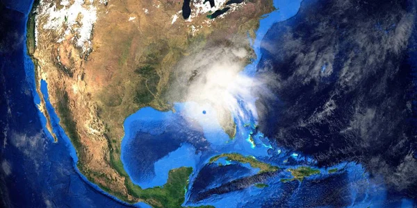
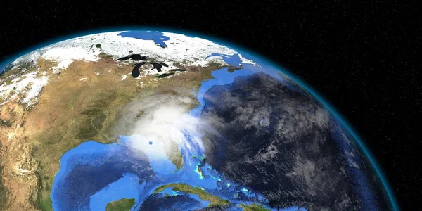
Hurricane Ian In Florida. Earth Seen From Space. Extremely Detailed And Realistic High Resolution 3D Illustration. Elements Of This Render Have Been Furnished By NASA.
Image, 11.99MB, 10000 × 5000 jpg
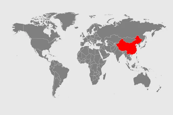
Detailed Map Of The World In High Resolution With A Dedicated Map Of China
Vector, 7.28MB, 8000 × 5333 eps

A Detailed Map Of The World Illustrating The Spread Of The Epidemic From China
Vector, 7.46MB, 8000 × 5333 eps


Physical Map Of South East Asia, With High Resolution Details. Flattened Satellite View Of Planet Earth, Its Geography And Topography. 3D Illustration - Elements Of This Image Furnished By NASA
Image, 27.03MB, 9000 × 9000 jpg

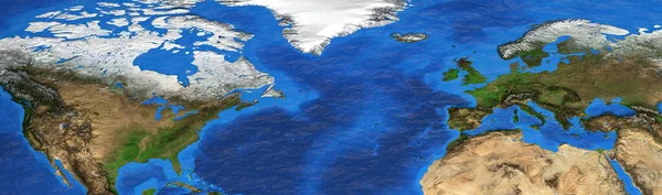
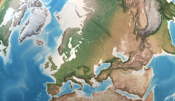
Physical Map Of Western Europe, With High Resolution Details. Flattened Satellite View Of Planet Earth, Its Geography And Topography. 3D Illustration - Elements Of This Image Furnished By NASA
Image, 21.61MB, 9000 × 6000 jpg
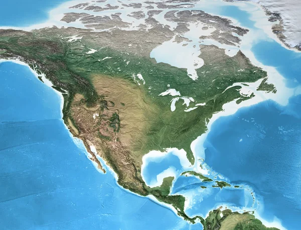
Physical Map Of North America, With High Resolution Details. Flattened Satellite View Of Planet Earth, Its Geography And Topography. 3D Illustration - Elements Of This Image Furnished By NASA
Image, 14.66MB, 7500 × 5736 jpg

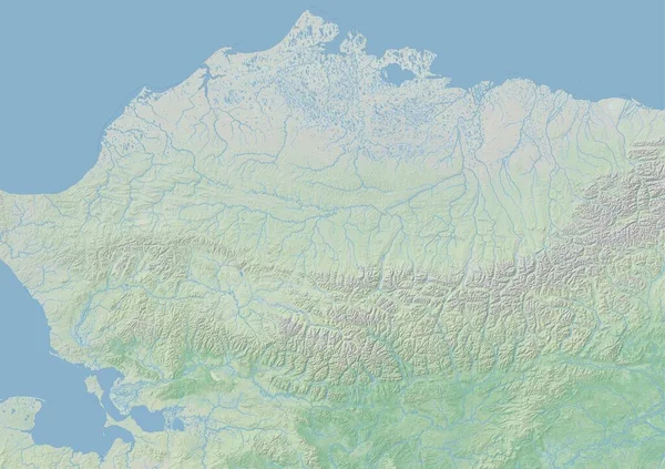
Physical Map Of North Asia, Siberia And Russia, With High Resolution Details. Satellite View Of Planet Earth, Its Geography And Topography. 3D Illustration - Elements Of This Image Furnished By NASA
Image, 18.25MB, 6800 × 5000 jpg

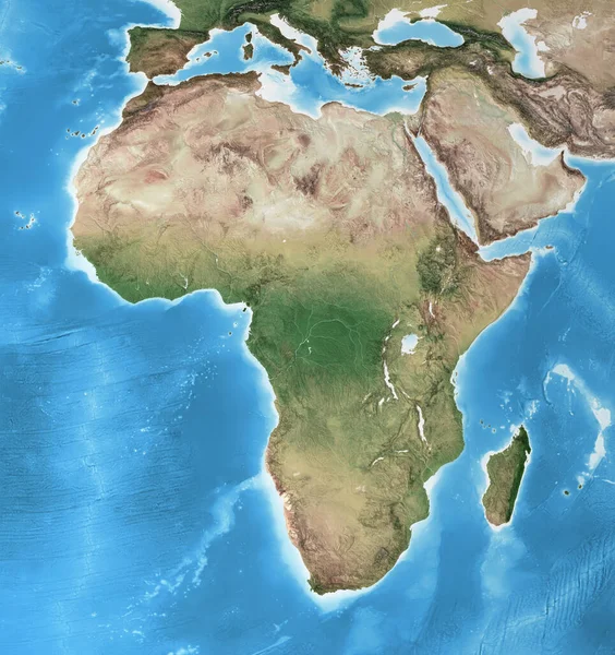
Physical Map Of Africa, With High Resolution Details. Flattened Satellite View Of Planet Earth, Its Geography And Topography. 3D Illustration - Elements Of This Image Furnished By NASA
Image, 21MB, 8000 × 8500 jpg


Physical Map Of Mediterranean Region, With High Resolution Details. Flattened Satellite View Of Planet Earth And Its Topography. 3D Illustration - Elements Of This Image Furnished By NASA
Image, 15.26MB, 5500 × 2750 jpg
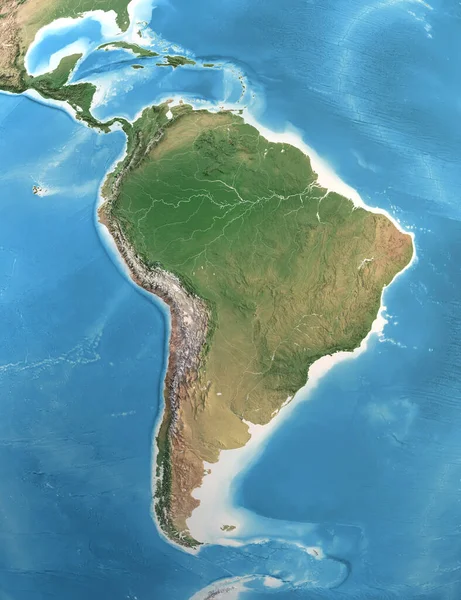
Physical Map Of South And Central America, With High Resolution Details. Satellite View Of Planet Earth. 3D Illustration - Elements Of This Image Furnished By NASA
Image, 13.51MB, 7300 × 9500 jpg


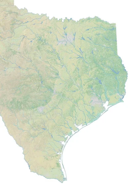
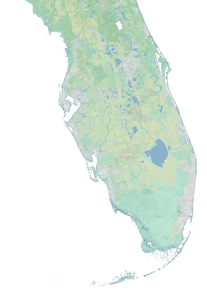
Pernambuco, State Of Brazil. High Resolution Satellite Map. Locations Of Major Cities Of The Region. Corner Auxiliary Location Maps
Image, 11.56MB, 4930 × 3770 jpg

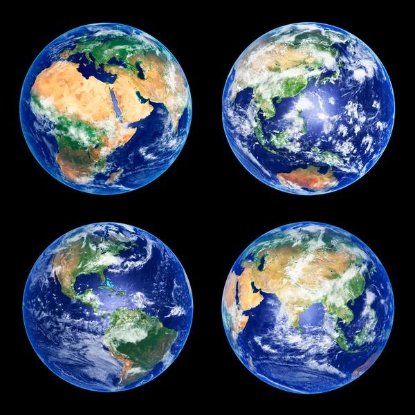
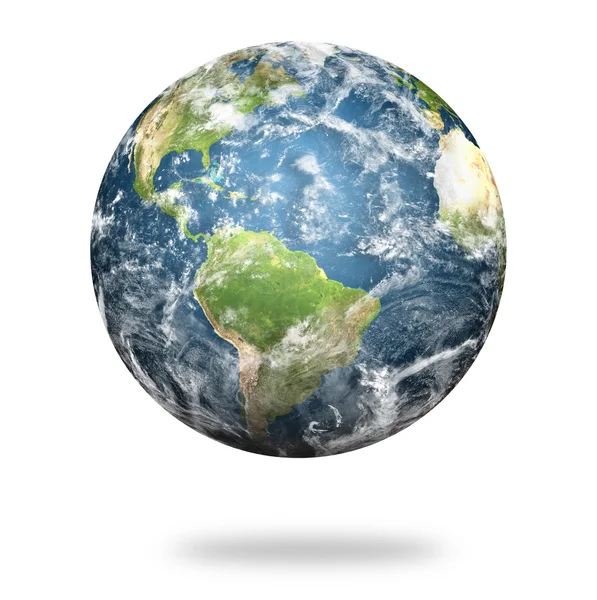
Extremely Detailed And Realistic High Resolution 3d Illlustration Of Planet Earth At Night. Shot From Space. Elements Of This Illustration Are Furnished By NASA.
Image, 9.67MB, 12000 × 4000 jpg


Physical Map Of North America, USA, Canada And Mexico, With High Resolution Details. Satellite View Of Planet Earth. 3D Illustration - Elements Of This Image Furnished By NASA
Image, 15.62MB, 9000 × 5200 jpg
Hurricane Ian In Florida. Earth Seen From Space. Extremely Detailed And Realistic High Resolution 3D Illustration. Elements Of This Render Have Been Furnished By NASA.
Image, 8.4MB, 10000 × 5000 jpg
Physical Map Of Europe, Greenland, Middle East And Asia, With High Resolution Details. Satellite View Of Planet Earth. 3D Illustration - Elements Of This Image Furnished By NASA
Image, 15.26MB, 9000 × 5200 jpg
Previous << Page 2 >> Next