photo free
Home Images Vectors Videos

Stock image Close-up of Philippines and its location in the region and in the center of a large-scale world map. Satellite imagery

Stock image Close-up of Philippines and its location in the region and in the center of a large-scale world map. Satellite imagery
Published: Jul.07, 2020 14:11:26
Author: Yarr65
Views: 2
Downloads: 0
File type: image / jpg
File size: 1.78 MB
Orginal size: 2880 x 1620 px
Available sizes:
S
(500 x 281)
M
(1000 x 563)
L
(2000 x 1125)
XL
(2880 x 1620)
EL0
(2880 x 1620)
Level: bronze
Download Image
Image topics:

Similar stock images

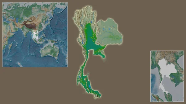
stock image Close-up of Thailand and its location in the region and in the center of a large-scale world map. Color physical map

Close-up Of Thailand And Its Location In The Region And In The Center Of A Large-scale World Map. Color Physical Map

2880 × 1620
stock image Close-up of Thailand and its location in the region and in the center of a large-scale world map. Satellite imagery

Close-up Of Thailand And Its Location In The Region And In The Center Of A Large-scale World Map. Satellite Imagery

2880 × 1620
stock image Close-up of Indonesia and its location in the region and in the center of a large-scale world map. Satellite imagery

Close-up Of Indonesia And Its Location In The Region And In The Center Of A Large-scale World Map. Satellite Imagery

2880 × 1620
stock image Close-up of Myanmar and its location in the region and in the center of a large-scale world map. Satellite imagery

Close-up Of Myanmar And Its Location In The Region And In The Center Of A Large-scale World Map. Satellite Imagery

2880 × 1620
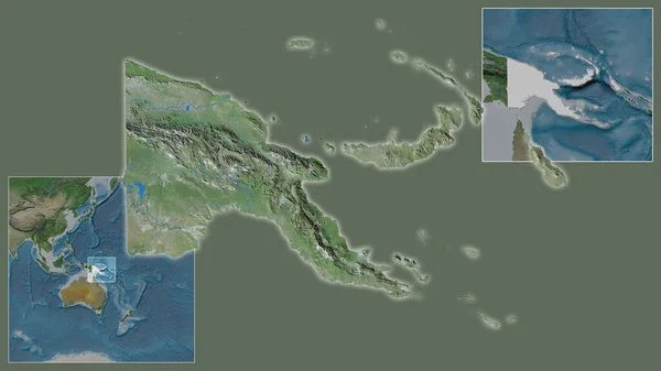
stock image Close-up of Papua and its location in the region and in the center of a large-scale world map. Satellite imagery

Close-up Of Papua And Its Location In The Region And In The Center Of A Large-scale World Map. Satellite Imagery

2880 × 1620
stock image Expanded and enlarged area of Mongolia extracted from the large-scale map of the world with leading lines connecting the corners of the frames. Satellite imagery

Expanded And Enlarged Area Of Mongolia Extracted From The Large-scale Map Of The World With Leading Lines Connecting The Corners Of The Frames. Satellite Imagery

2880 × 1620
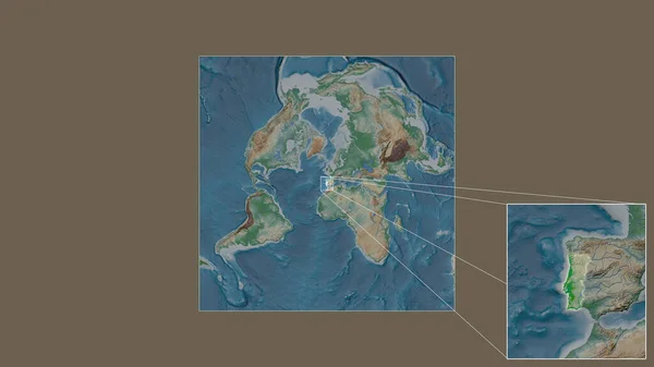
stock image Expanded and enlarged area of Portugal extracted from the large-scale map of the world with leading lines connecting the corners of the frames. Color physical map

Expanded And Enlarged Area Of Portugal Extracted From The Large-scale Map Of The World With Leading Lines Connecting The Corners Of The Frames. Color Physical Map

2880 × 1620
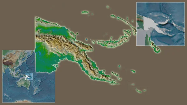
stock image Close-up of Papua and its location in the region and in the center of a large-scale world map. Color physical map

Close-up Of Papua And Its Location In The Region And In The Center Of A Large-scale World Map. Color Physical Map

2880 × 1620