Home
Images
Vectors
Videos
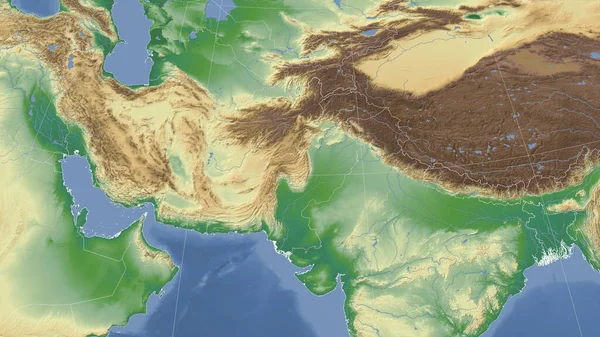
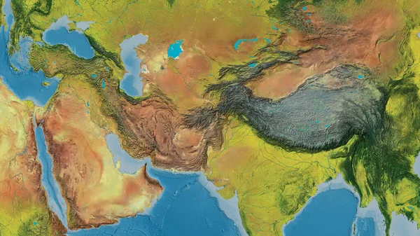
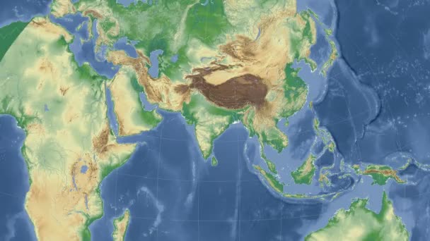
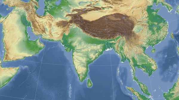
Stock image Eurasiann tectonic plate enlarged, extruded and rotated to the south side the global color physical map in the Azimuthal Equidistant projection with dashed plates borders. 3D rendering
Published:
Aug.26, 2020 14:06:59
Author:
Yarr65
Views:
3
Downloads:
0
File type:
image
/
jpg
File size:
4.84 MB
Orginal size:
2880
x
1620
px
Available sizes:
S
(500 x 281)
M
(1000 x 563)
L
(2000 x 1125)
XL
(2880 x 1620)
EL0
(2880 x 1620)
Level:
bronze
Download Image
Image topics:
Shape
Nature
Texture
Border
Global
Physical
Education
Earth
Planet
Science
Globe
Outline
Ridge
Map
Cartography
Geography
Area
Land
Core
Projection
Shoreline
Continents
Magma
Mantle
Earthquake
Atlas
Zone
Extruded
Nasa
Rift
Cylindrical
Dashed
Enlarged
Graticule
Volcanoe
Convection
Bumped
Cartographic
Lithosphere
3d Rendering
South Side
Ring Of Fire
Seismic Activity
Subduction
Wegener
Tectonic Plate
Continental Drift
Azimuthal Equidistant
Supercontinents
Eurasiann
Similar stock images
Eurasiann Tectonic Plate Enlarged And Extruded The Global Color Physical Map In The Azimuthal Equidistant Projection With Dashed Plates Borders. 3D Rendering
2880 × 1620
Eurasiann Tectonic Plate Enlarged And Enlarged The Global Color Physical Map In The Azimuthal Equidistant Projection With Dashed Plates Borders. 3D Rendering
2880 × 1620
India Outlined And Glowed. Neighbourhood. Physical
3840 × 2160
China Outlined And Glowed. Neighbourhood. Physical
3840 × 2160
India And Its Neighborhood. Distant Oblique Perspective - No Outline. Color Physical Map
2880 × 1620
Pakistan And Its Neighborhood. Distant Oblique Perspective - No Outline. Color Physical Map
2880 × 1620
Topographic Map Centered On Afghanistan Neighborhood Area
3840 × 2160
China Area On The Satellite D Map In The Stereographic Projection - Raw Composition Of Raster Layers With Light Glowing Outline
2880 × 1620