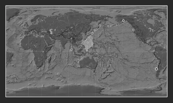
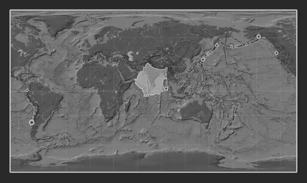
Stock image Indian tectonic plate on the bilevel elevation map in the Compact Miller projection centered meridionally. Boundaries of other plates
Published: Jul.24, 2023 13:16:12
Author: Yarr65
Views: 0
Downloads: 0
File type: image / jpg
File size: 7.24 MB
Orginal size: 4800 x 3010 px
Available sizes:
Level: bronze
Similar stock images
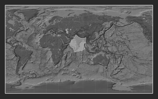
Indian Tectonic Plate On The Bilevel Elevation Map In The Compact Miller Projection Centered Meridionally.
4800 × 3010
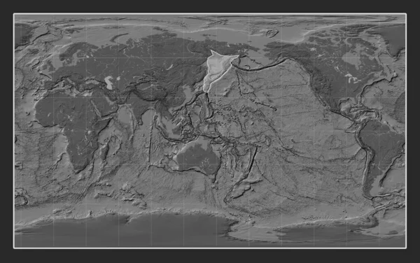
Okhotsk Tectonic Plate On The Bilevel Elevation Map In The Compact Miller Projection Centered Meridionally.
4800 × 3010