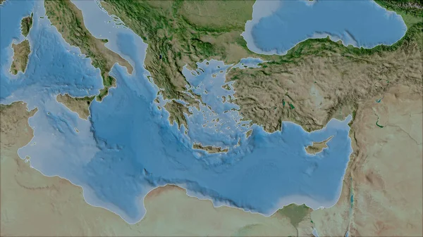
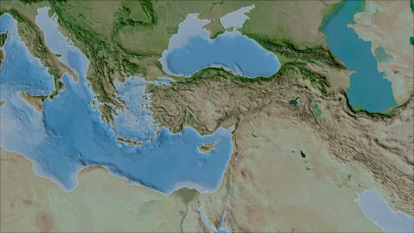
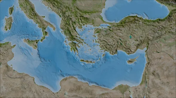
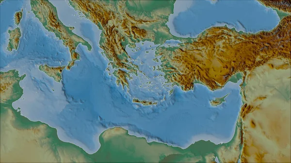
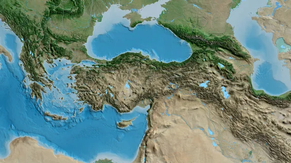
Stock image Neighborhoods of the Aegean Sea tectonic plate on the topographic map in the van der Grinten I projection (oblique transformation). Raw composite - no outlines

Published: Jun.22, 2020 14:05:15
Author: Yarr65
Views: 8
Downloads: 0
File type: image / jpg
File size: 5.33 MB
Orginal size: 2880 x 1620 px
Available sizes:
Level: bronze