photo free
Home Images Vectors Videos

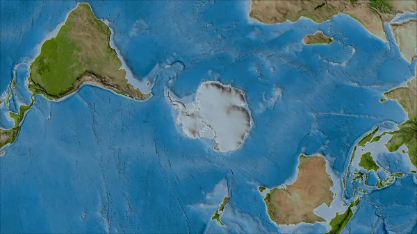
Stock image Neighborhoods of the Antarctica tectonic plate on the satellite B map in the van der Grinten I projection (oblique transformation). Raw composite - no outlines
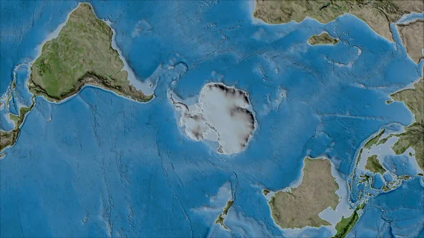
Stock image Neighborhoods of the Antarctica tectonic plate on the satellite B map in the van der Grinten I projection (oblique transformation). Raw composite - no outlines
Published: Jul.07, 2020 14:12:06
Author: Yarr65
Views: 5
Downloads: 1
File type: image / jpg
File size: 6.47 MB
Orginal size: 2880 x 1620 px
Available sizes:
S
(500 x 281)
M
(1000 x 563)
L
(2000 x 1125)
XL
(2880 x 1620)
EL0
(2880 x 1620)
Level: bronze
Download Image
Image topics:

Similar stock images

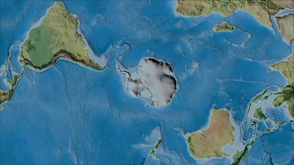
stock image Neighborhoods of the Antarctica tectonic plate on the satellite A map in the van der Grinten I projection (oblique transformation). Raw composite - no outlines

Neighborhoods Of The Antarctica Tectonic Plate On The Satellite A Map In The Van Der Grinten I Projection (oblique Transformation). Raw Composite - No Outlines

2880 × 1620
stock image Neighborhoods of the Antarctica tectonic plate on the topographic map in the van der Grinten I projection (oblique transformation). Raw composite - no outlines

Neighborhoods Of The Antarctica Tectonic Plate On The Topographic Map In The Van Der Grinten I Projection (oblique Transformation). Raw Composite - No Outlines

2880 × 1620
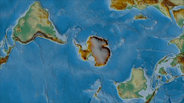
stock image Neighborhoods of the Antarctica tectonic plate on the relief map in the van der Grinten I projection (oblique transformation). Raw composite - no outlines

Neighborhoods Of The Antarctica Tectonic Plate On The Relief Map In The Van Der Grinten I Projection (oblique Transformation). Raw Composite - No Outlines

2880 × 1620
stock image Neighborhoods of the North American tectonic plate on the physical map in the van der Grinten I projection (oblique transformation). Raw composite - no outlines

Neighborhoods Of The North American Tectonic Plate On The Physical Map In The Van Der Grinten I Projection (oblique Transformation). Raw Composite - No Outlines

2880 × 1620
stock image Satellite map of the area around the Antarctic tectonic plate. 3D rendering

Satellite Map Of The Area Around The Antarctic Tectonic Plate. 3D Rendering

2880 × 1620
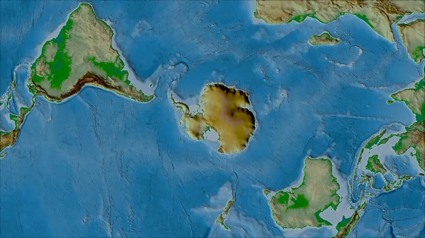
stock image Neighborhoods of the Antarctica tectonic plate on the physical map in the van der Grinten I projection (oblique transformation). Raw composite - no outlines

Neighborhoods Of The Antarctica Tectonic Plate On The Physical Map In The Van Der Grinten I Projection (oblique Transformation). Raw Composite - No Outlines

2880 × 1620
stock image Outlined Antarctica tectonic plate and borders of adjacent plates on the relief map in the van der Grinten I projection (oblique transformation)

Outlined Antarctica Tectonic Plate And Borders Of Adjacent Plates On The Relief Map In The Van Der Grinten I Projection (oblique Transformation)

2880 × 1620
stock video Southern Hemisphere zone. Physical globe with lakes and rivers. Close Up. Loopable

Southern Hemisphere Zone. Physical Globe With Lakes And Rivers. Close Up. Loopable

3840 × 2160