photo free
Home Images Vectors Videos

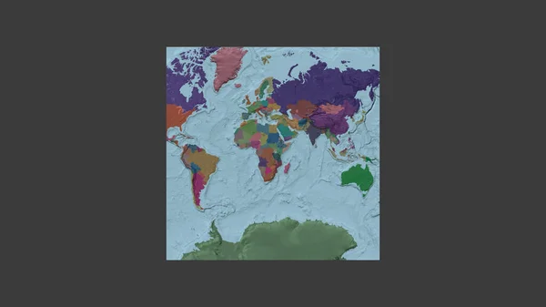
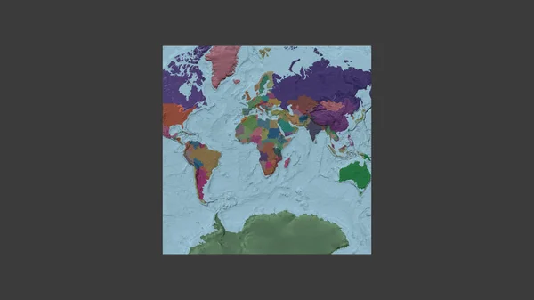
Stock image Square frame of the large-scale map of the world in an oblique Van der Grinten projection centered on the territory of Guinea-Bissau. Color map of the administrative division

Stock image Square frame of the large-scale map of the world in an oblique Van der Grinten projection centered on the territory of Guinea-Bissau. Color map of the administrative division
Published: Jun.26, 2020 07:45:17
Author: Yarr65
Views: 0
Downloads: 0
File type: image / jpg
File size: 1.06 MB
Orginal size: 2880 x 1620 px
Available sizes:
S
(500 x 281)
M
(1000 x 563)
L
(2000 x 1125)
XL
(2880 x 1620)
EL0
(2880 x 1620)
Level: bronze
Download Image
Image topics:

Similar stock images

stock image Square frame of the large-scale map of the world in an oblique Van der Grinten projection centered on the territory of Guinea. Color map of the administrative division

Square Frame Of The Large-scale Map Of The World In An Oblique Van Der Grinten Projection Centered On The Territory Of Guinea. Color Map Of The Administrative Division

2880 × 1620
stock image Square frame of the large-scale map of the world in an oblique Van der Grinten projection centered on the territory of Rwanda. Color map of the administrative division

Square Frame Of The Large-scale Map Of The World In An Oblique Van Der Grinten Projection Centered On The Territory Of Rwanda. Color Map Of The Administrative Division

2880 × 1620
stock image Square frame of the large-scale map of the world in an oblique Van der Grinten projection centered on the territory of Liberia. Color map of the administrative division

Square Frame Of The Large-scale Map Of The World In An Oblique Van Der Grinten Projection Centered On The Territory Of Liberia. Color Map Of The Administrative Division

2880 × 1620
stock image Square frame of the large-scale map of the world in an oblique Van der Grinten projection centered on the territory of Gambia. Color map of the administrative division

Square Frame Of The Large-scale Map Of The World In An Oblique Van Der Grinten Projection Centered On The Territory Of Gambia. Color Map Of The Administrative Division

2880 × 1620
stock image Square frame of the large-scale map of the world in an oblique Van der Grinten projection centered on the territory of Benin. Color map of the administrative division

Square Frame Of The Large-scale Map Of The World In An Oblique Van Der Grinten Projection Centered On The Territory Of Benin. Color Map Of The Administrative Division

2880 × 1620
stock image Square frame of the large-scale map of the world in an oblique Van der Grinten projection centered on the territory of Ivory Coast. Color map of the administrative division

Square Frame Of The Large-scale Map Of The World In An Oblique Van Der Grinten Projection Centered On The Territory Of Ivory Coast. Color Map Of The Administrative Division

2880 × 1620
stock image Square frame of the large-scale map of the world in an oblique Van der Grinten projection centered on the territory of Uganda. Color map of the administrative division

Square Frame Of The Large-scale Map Of The World In An Oblique Van Der Grinten Projection Centered On The Territory Of Uganda. Color Map Of The Administrative Division

2880 × 1620
stock image Square frame of the large-scale map of the world in an oblique Van der Grinten projection centered on the territory of Congo Kinshasa. Color map of the administrative division

Square Frame Of The Large-scale Map Of The World In An Oblique Van Der Grinten Projection Centered On The Territory Of Congo Kinshasa. Color Map Of The Administrative Division

2880 × 1620