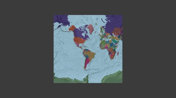
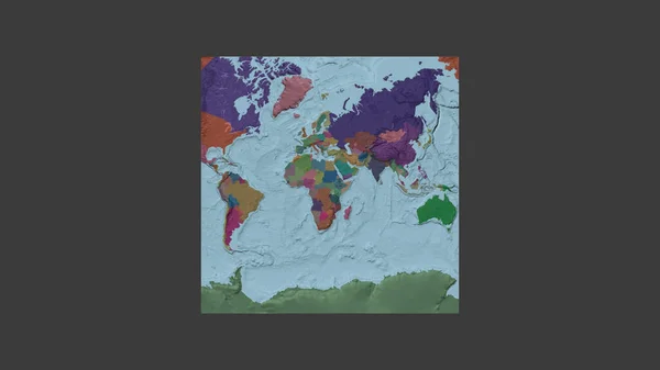
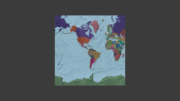
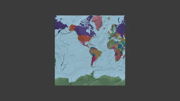
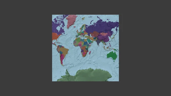
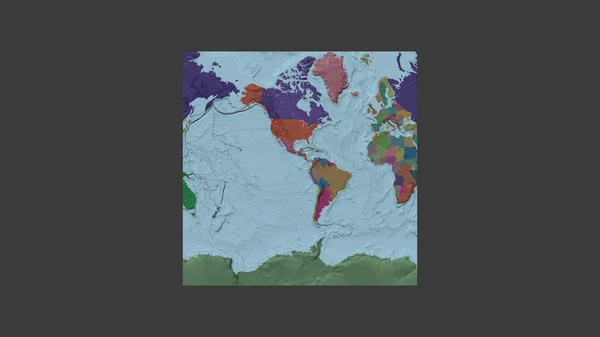
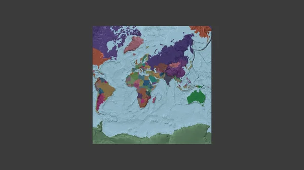
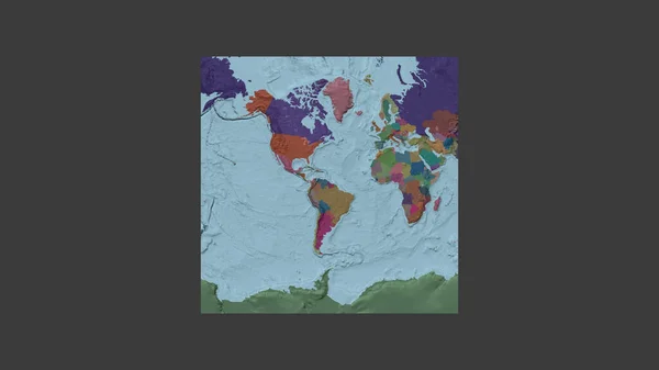
Stock image Square frame of the large-scale map of the world in an oblique Van der Grinten projection centered on the territory of Guyana. Color map of the administrative division
Published: Jul.03, 2020 09:28:05
Author: Yarr65
Views: 0
Downloads: 0
File type: image / jpg
File size: 1.05 MB
Orginal size: 2880 x 1620 px
Available sizes:
Level: bronze