Home
Images
Vectors
Videos
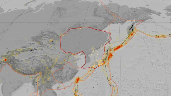
Stock image Sunda tectonic plate outlined on the global grayscale elevation map in the Kavrayskiy projection. 3D rendering
Published:
Aug.04, 2020 13:21:04
Author:
Yarr65
Views:
0
Downloads:
0
File type:
image
/
jpg
File size:
2.91 MB
Orginal size:
2880
x
1620
px
Available sizes:
S
(500 x 281)
M
(1000 x 563)
L
(2000 x 1125)
XL
(2880 x 1620)
EL0
(2880 x 1620)
Level:
bronze
Download Image
Image topics:
Shape
Nature
Texture
Border
Global
Education
Earth
Planet
Science
Globe
Outline
Ridge
Map
Cartography
Geography
Area
Land
Core
Projection
Shoreline
Continents
Grayscale
Outlined
Magma
Mantle
Earthquake
Atlas
Zone
Nasa
Rift
Cylindrical
Graticule
Volcanoe
Convection
Bumped
Cartographic
Lithosphere
3d Rendering
Ring Of Fire
Seismic Activity
Sunda
Subduction
Wegener
Tectonic Plate
Continental Drift
Supercontinents
Similar stock images
Sunda Tectonic Plate Outlined On The Global Grayscale Elevation Map In The Mollweide Projection. 3D Rendering
2880 × 1620
Indian Tectonic Plate Outlined On The Global Grayscale Elevation Map In The Mollweide Projection. 3D Rendering
2880 × 1620
Philippine Sea Tectonic Plate Outlined On The Global Grayscale Elevation Map In The Kavrayskiy Projection. 3D Rendering
2880 × 1620
Amur Tectonic Plate Outlined On The Global Grayscale Elevation Map In The Kavrayskiy Projection. 3D Rendering
2880 × 1620
Somalian Tectonic Plate Outlined On The Global Grayscale Elevation Map In The Kavrayskiy Projection. 3D Rendering
2880 × 1620
Amur Tectonic Plate Outlined On The Global Grayscale Elevation Map In The Mollweide Projection. 3D Rendering
2880 × 1620
Philippine Sea Tectonic Plate Outlined On The Global Grayscale Elevation Map In The Mollweide Projection. 3D Rendering
2880 × 1620
Okhotsk Tectonic Plate Outlined On The Global Grayscale Elevation Map In The Mollweide Projection. 3D Rendering
2880 × 1620