
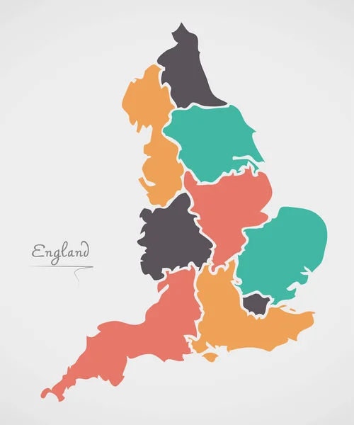
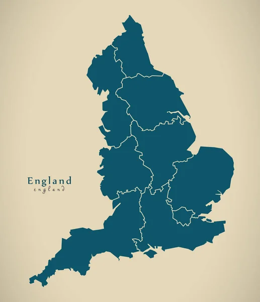
Stock image England Counties page 2

Former Kodak Headquarters Now Converted To Apartment Block Known As KD Tower, Hemel Hempstead, Hertfordshire, England, UK
Image, 2.22MB, 3000 × 4000 jpg

Farmland Clouds Trees Ploughed Earth Soil Agriculture Oil Seed Rapeseed
Image, 3.94MB, 4896 × 3264 jpg
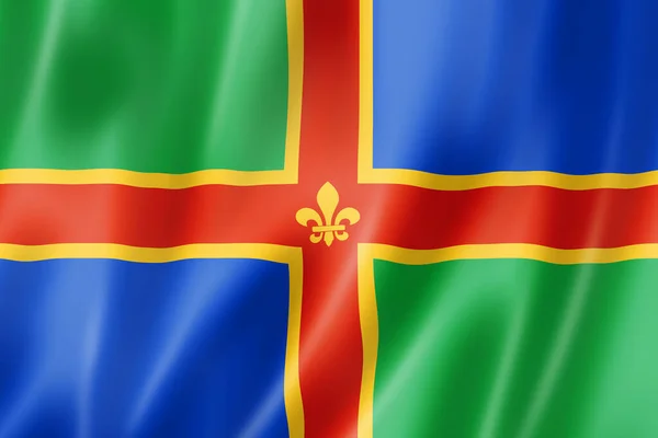
Lincolnshire County Flag, United Kingdom Waving Banner Collection. 3D Illustration
Image, 17.93MB, 6120 × 4080 jpg
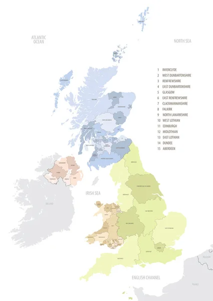
Location Map Of United Kingdom In Europe With Administrative Divisions, Detailed Vector Illustration
Vector, 4.61MB, 5453 × 7677 eps

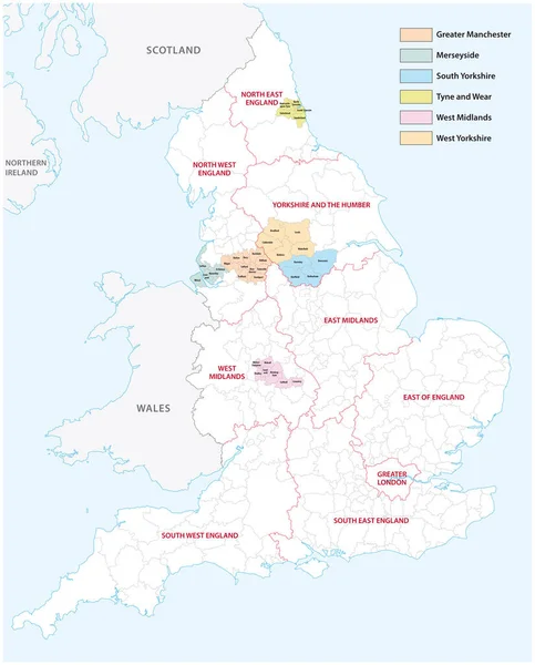
Outline Vector Map Of The Six Metropolitan Counties Of England, United Kingdom
Vector, 2.31MB, 3575 × 4440 eps

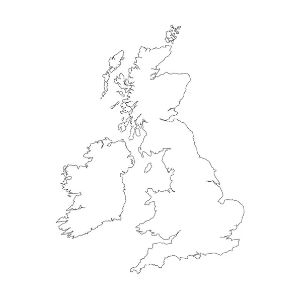
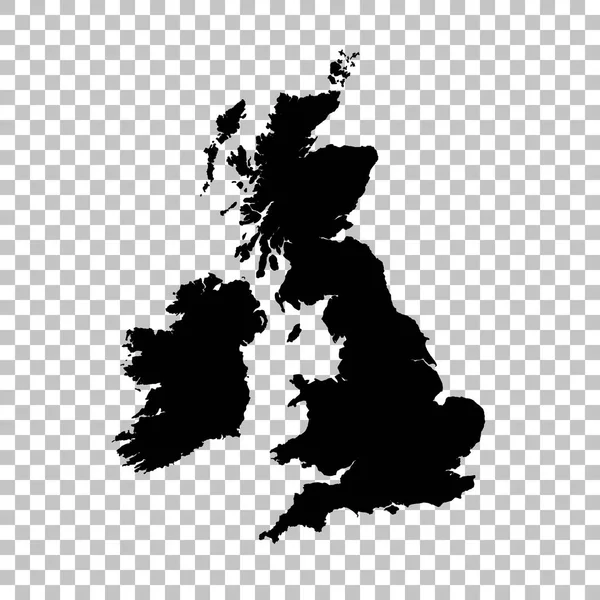
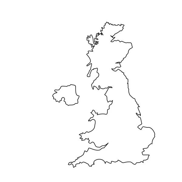
Vector Map Great Britain. Isolated Vector Illustration. Black On White Background. EPS 10 Illustration.
Vector, 0.86MB, 5000 × 5000 eps
Newport, Rhode Island-September 2017: Riplles In The Water At A Beach Near The Newport Harbor.
Image, 13.64MB, 5184 × 3888 jpg


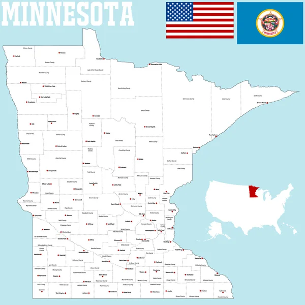
Highly Detailed Vector Silhouettes Of US State Maps, Division United States Into Counties, Political And Geographic Subdivisions Of A States, New England - Vermont, New Hampshire, Maine - Set 1 Of 17
Vector, 9.87MB, 9608 × 4501 eps


Northumberland County Flag, United Kingdom Waving Banner Collection. 3D Illustration
Image, 14.29MB, 5900 × 4214 jpg


Rhode Island, U.S. State, Subdivided Into 5 Counties, Political Map With Borders And County Names. State In The New England Region Of Northeastern United States Nicknamed Ocean State And Little Rhody.
Vector, 2.45MB, 6000 × 7440 eps

STOKE-ON.TRENT, UK, MAY 17, 2008: Avington At Caldon Canal, Stoke-on-Trent, UK
Image, 3.84MB, 2816 × 2112 jpg

STOKE-ON.TRENT, UK, MAY 17, 2008: Avington At Caldon Canal, Stoke-on-Trent, UK
Image, 4.65MB, 2816 × 2112 jpg
Vermont State Map, USA. Set Of Vermont Maps With Outline Border, Counties And US States Map. Black And White Color Vector Illustration.
Vector, 17.58MB, 6503 × 2601 eps

Maryland, U.S. State, Colored Political Map With County Names And Capital Annapolis. State In The New England Region Of Northeastern USA, Subdivided Into 23 Counties And Independent City Of Baltimore.
Vector, 1.96MB, 9000 × 5235 eps
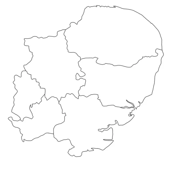
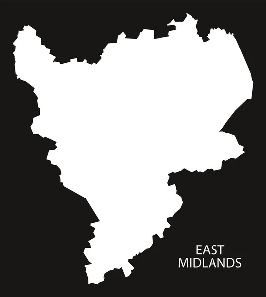
Quality Outline Map Of East Of England Is A Region Of England, With Borders Of The Ceremonial Counties.
Image, 5.16MB, 8048 × 8048 jpg

Vermont, U.S. State, Subdivided Into 14 Counties, Political Map With Borders And County Names. State In The New England Region Of The Northeastern United States, Nicknamed The Green Mountain State.
Vector, 1.89MB, 5855 × 9000 eps

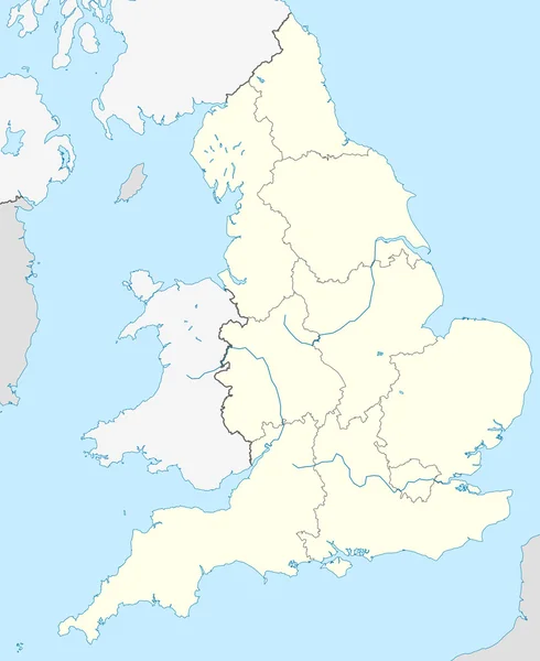
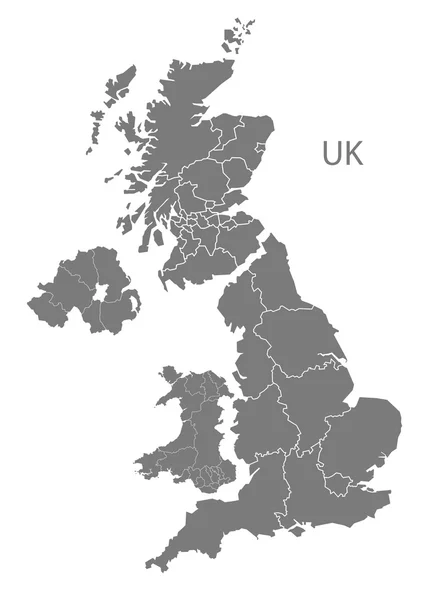
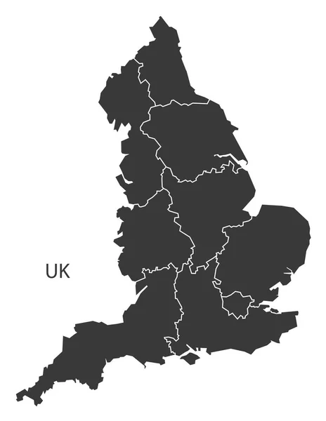
England Administrative Divisions Map. Metropolitan And Non-metropolitan Counties And Unitary Authorities. Blue Vector Map With Labels.
Vector, 0.94MB, 8000 × 8000 eps

Massachusetts Counties, Gray Political Map. Commonwealth Of Massachusetts, State In The New England Region Of Northeastern United States, Subdivided Into 14 Counties. With Boundaries And County Names.
Vector, 2.12MB, 9000 × 5555 eps

New York, U.S. State, Subdivided Into 62 Counties, Multi Colored Political Map With Capital Albany, Borders And County Names. State In The New England Region Of The United States. The Empire State.
Vector, 2.61MB, 7671 × 6000 eps

New Hampshire State Counties, Political Map. New Hampshire, A State In The New England Region Of The Northeastern United States, Is Subdivided Into Ten Counties. Map With Boundaries And County Names.
Vector, 2.12MB, 6000 × 9000 eps

Connecticut, U.S. State, Subdivided Into 8 Counties, Gray Political Map With Borders And County Names. State In The New England Region Of Northeastern United States Nicknamed The Constitution State.
Vector, 1.81MB, 8015 × 6000 eps

Highly Detailed Vector Silhouettes Of US State Maps, Division United States Into Counties, Political And Geographic Subdivisions Of A States, New England - Connecticut, Massachusetts, Rhode Island - Set 2 Of 17
Vector, 6.38MB, 9608 × 4501 eps

FELIXSTOWE, SUFFOLK, ENGLAND - MAY 05, 2024: Vintage Bristol Eastern Counties Bus On The Road
Image, 6.95MB, 3800 × 2109 jpg

Rhode Island, U.S. State Subdivided Into 5 Counties, Gray Political Map With Borders And County Names. New England Region State Of Northeastern United States, Nicknamed Ocean State, And Little Rhody.
Vector, 1.63MB, 6000 × 8419 eps


Previous << Page 2 >> Next