
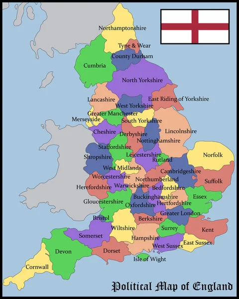
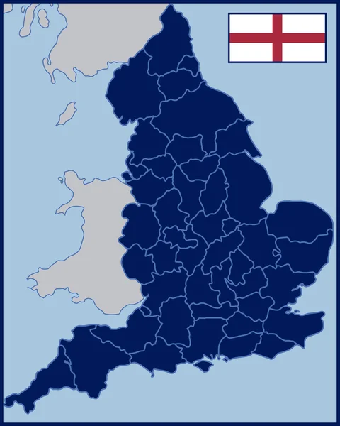
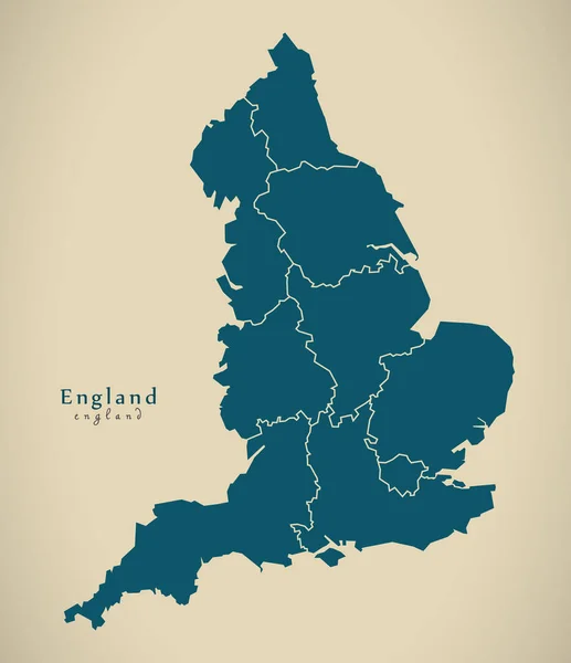
Stock image England Counties

Back View Of Multiethnic People Holding Flags Of Counties Isolated On White
Image, 8.67MB, 7360 × 4912 jpg


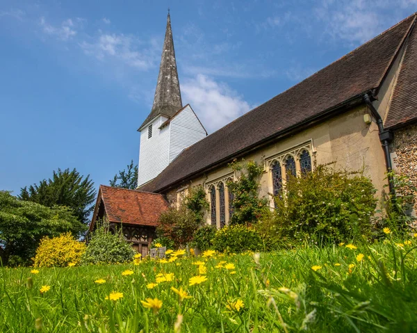
A View Of The Beautiful All Saints Church In The Village Of Stock In Essex, UK.
Image, 10.37MB, 3914 × 3132 jpg
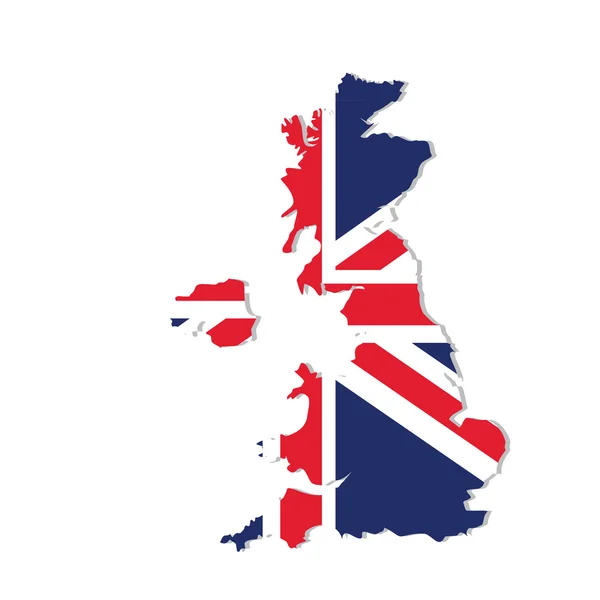
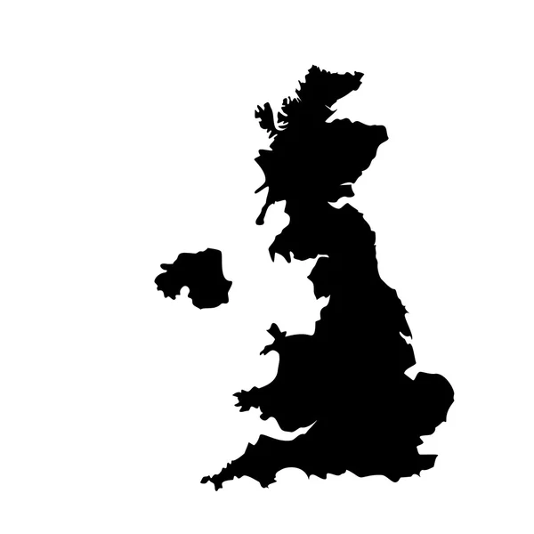
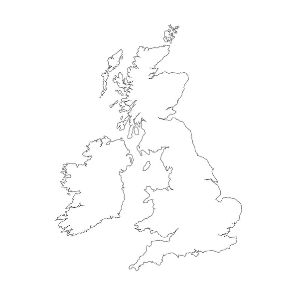
Vector Map Great Britain. Isolated Vector Illustration. Black On White Background. EPS 10 Illustration.
Vector, 0.83MB, 5000 × 5000 eps


Former Kodak Headquarters Now Converted To Apartment Block Known As KD Tower, Hemel Hempstead, Hertfordshire, England, UK
Image, 2.22MB, 3000 × 4000 jpg
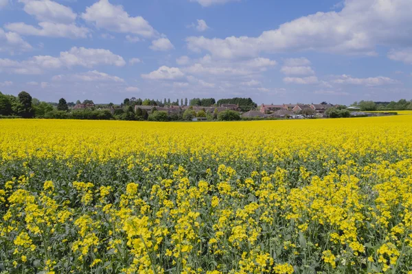
Farmland Clouds Trees Ploughed Earth Soil Agriculture Oil Seed Rapeseed
Image, 3.94MB, 4896 × 3264 jpg
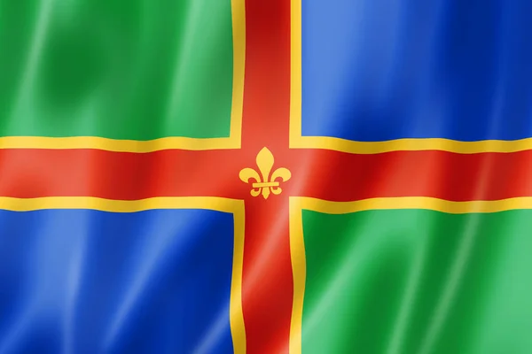
Lincolnshire County Flag, United Kingdom Waving Banner Collection. 3D Illustration
Image, 17.93MB, 6120 × 4080 jpg
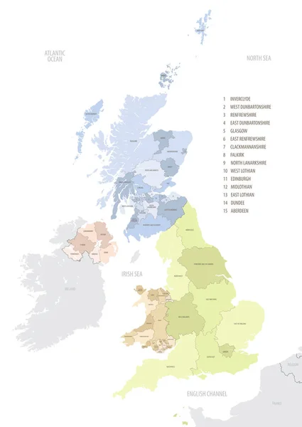
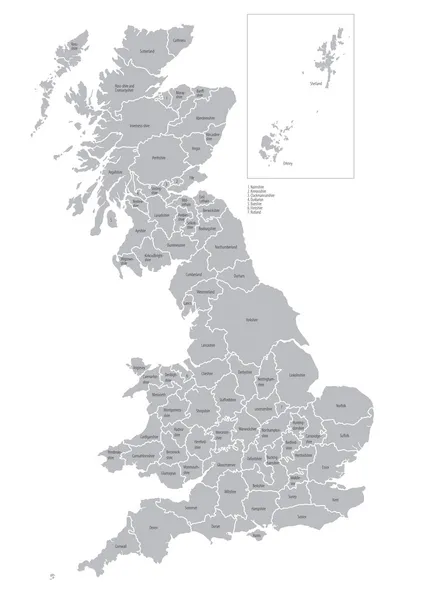
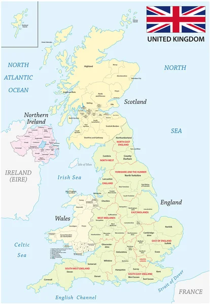
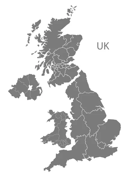
Location Map Of United Kingdom In Europe With Administrative Divisions, Detailed Vector Illustration
Vector, 4.61MB, 5453 × 7677 eps

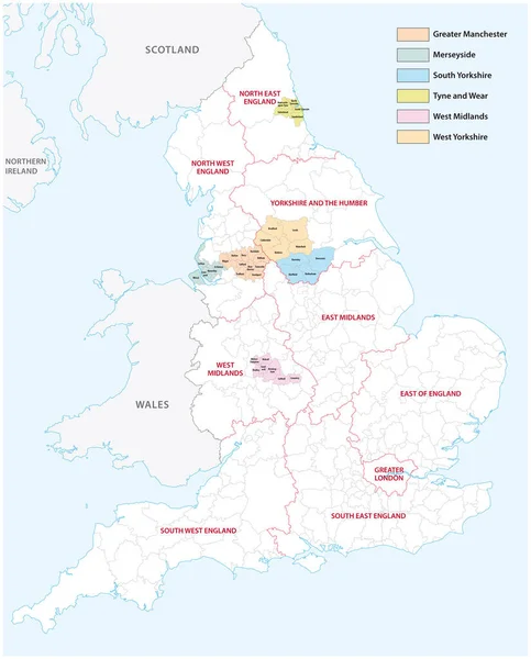
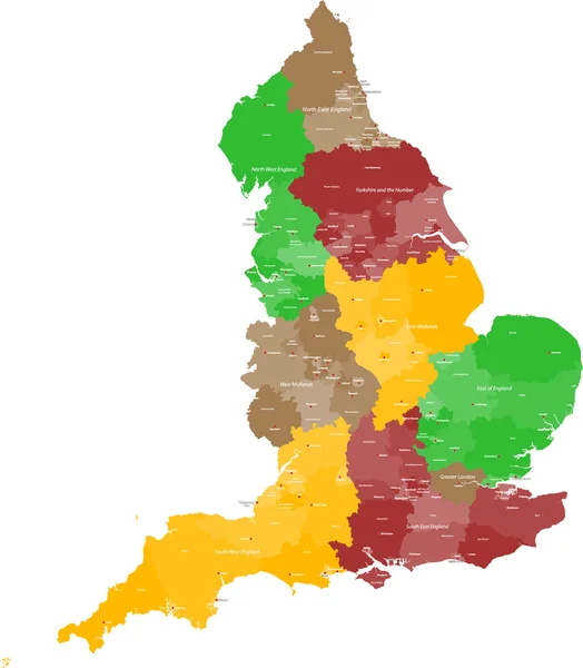
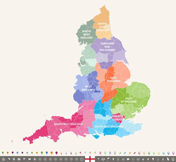
Outline Vector Map Of The Six Metropolitan Counties Of England, United Kingdom
Vector, 2.31MB, 3575 × 4440 eps

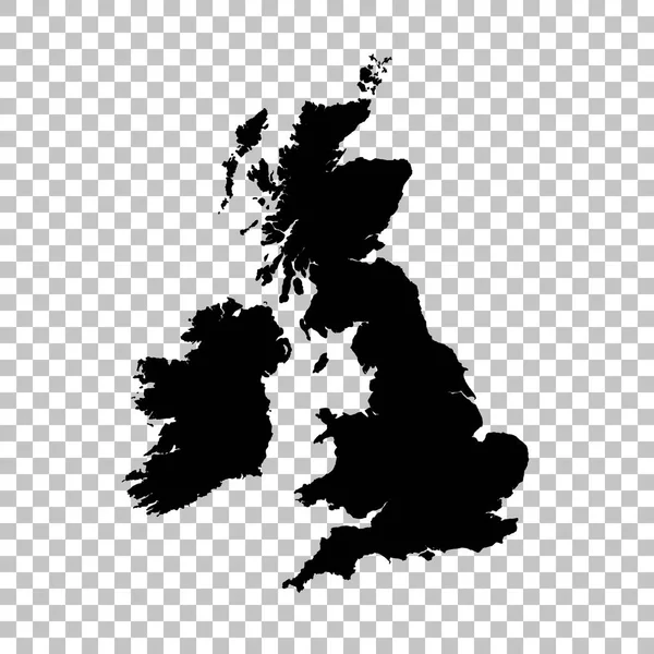
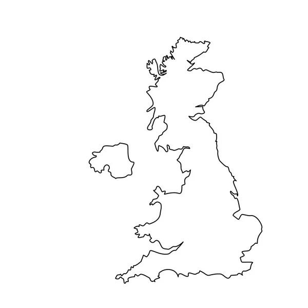
Vector Map Great Britain. Isolated Vector Illustration. Black On White Background. EPS 10 Illustration.
Vector, 0.86MB, 5000 × 5000 eps

Newport, Rhode Island-September 2017: Riplles In The Water At A Beach Near The Newport Harbor.
Image, 13.64MB, 5184 × 3888 jpg


Highly Detailed Vector Silhouettes Of US State Maps, Division United States Into Counties, Political And Geographic Subdivisions Of A States, New England - Vermont, New Hampshire, Maine - Set 1 Of 17
Vector, 9.87MB, 9608 × 4501 eps

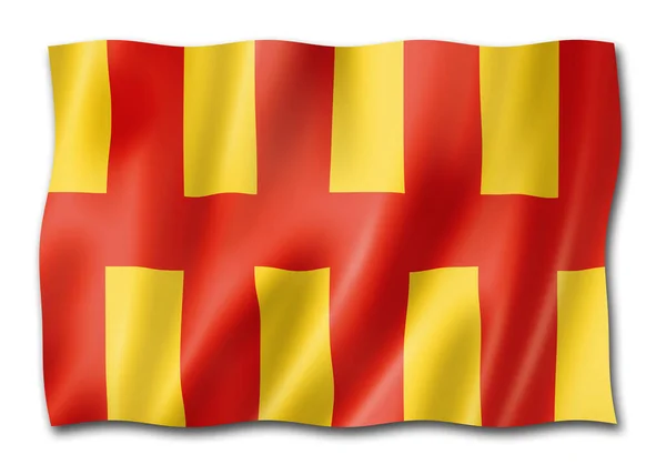
Northumberland County Flag, United Kingdom Waving Banner Collection. 3D Illustration
Image, 14.29MB, 5900 × 4214 jpg

Page 1 >> Next