photo free
Home Images Vectors Videos

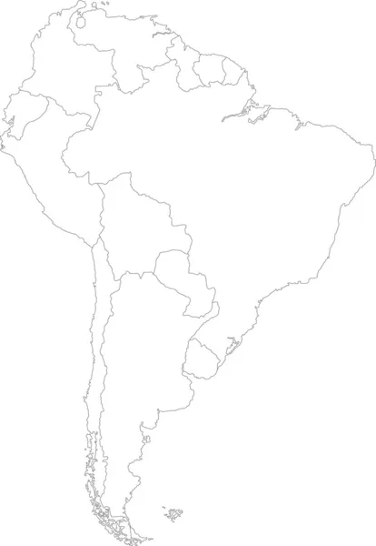
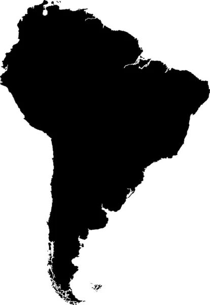
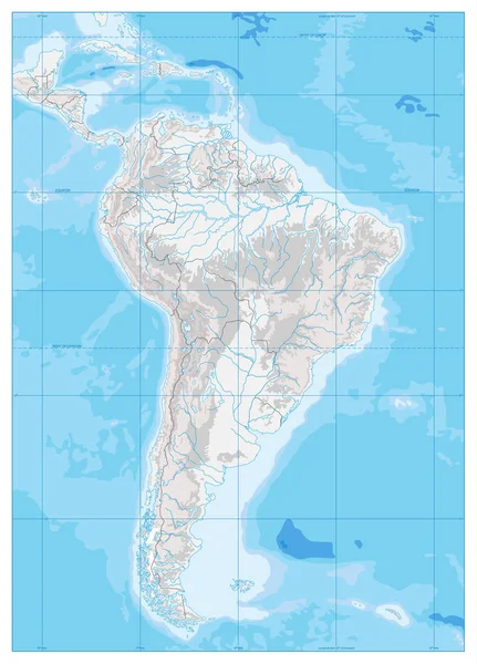
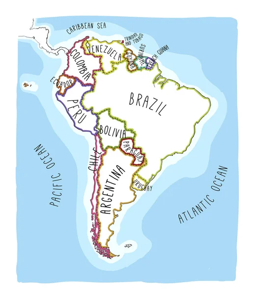
Stock image South America Vector Map page 2

stock vector Vintage Illustrated World Map

Vintage Illustrated World Map

Vector, 11.57MB, 8000 × 4610 eps
stock vector VINTAGE WORLD MAP

VINTAGE WORLD MAP

Vector, 10.55MB, 8192 × 4391 eps
stock vector World map background

World Map Background

Vector, 0.33MB, 3333 × 2500 eps
stock vector The World Map with The Frontiers and Country Names

The World Map With The Frontiers And Country Names

Vector, 5.01MB, 4800 × 3200 ai
stock vector World Map and navigation icons - illustration.

World Map And Navigation Icons - Illustration.

Vector, 13.49MB, 8400 × 4692 eps
stock vector Vintage World Map - Vector Illustration

Vintage World Map - Vector Illustration

Vector, 9.64MB, 7754 × 5000 eps
stock vector South America

South America

Vector, 2.93MB, 4884 × 7061 eps
stock vector World map

World Map

Vector, 4.3MB, 6686 × 3000 eps
stock vector America political map card paper 3D natural vector individual states separate

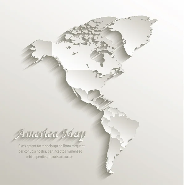
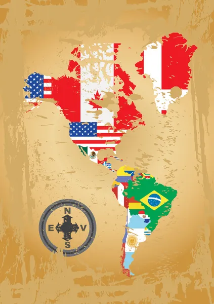
America Political Map Card Paper 3D Natural Vector Individual States Separate

Vector, 5.05MB, 4022 × 4044 eps
stock vector Political map of World

Political Map Of World

Vector, 0.71MB, 12000 × 6000 eps
stock vector South America map

South America Map

Vector, 2.96MB, 4880 × 7059 eps
stock vector Political map of world with Antarctica. Continents in different colors on blue background. Black labels with states and significant dependent territories names. High detail vector illustration

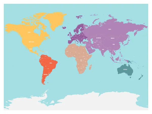
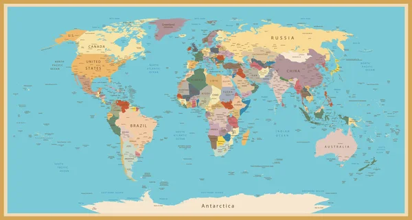
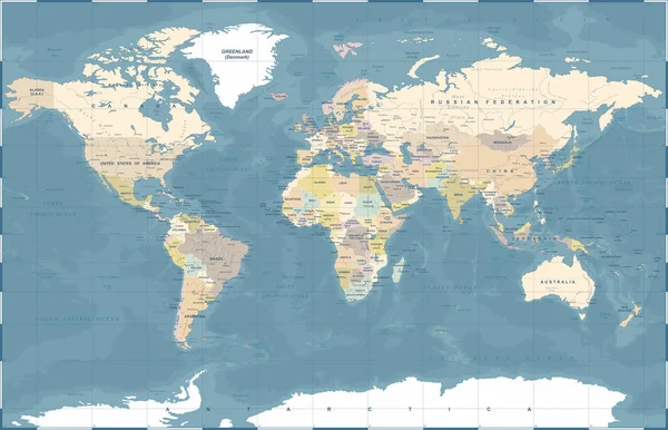
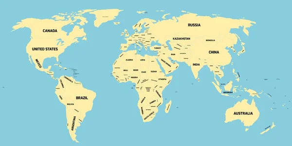
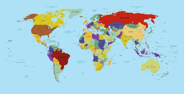
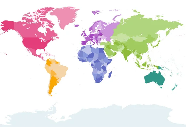
Political Map Of World With Antarctica. Continents In Different Colors On Blue Background. Black Labels With States And Significant Dependent Territories Names. High Detail Vector Illustration

Vector, 7.65MB, 6000 × 4500 eps
stock vector Political map of world with Antarctica. Continents in different colors on blue background. White labels with states and significant dependent territories names. High detail vector illustration

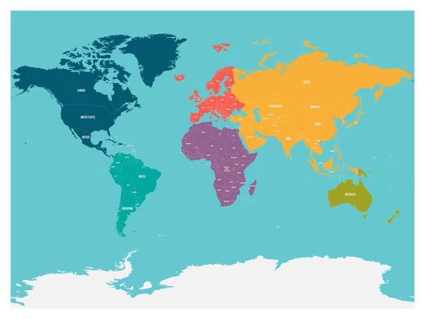
Political Map Of World With Antarctica. Continents In Different Colors On Blue Background. White Labels With States And Significant Dependent Territories Names. High Detail Vector Illustration

Vector, 7.64MB, 6000 × 4500 eps
stock vector Political map of world with Antarctica. Continents in different colors on white background. Black labels with states and significant dependent territories names. High detail vector illustration

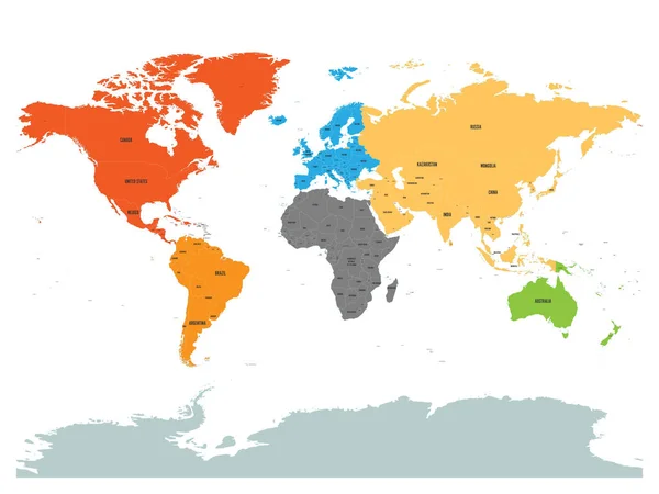
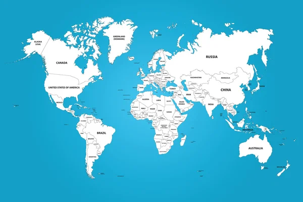
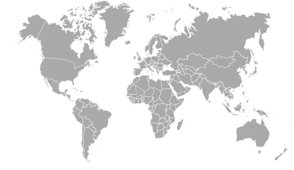
Political Map Of World With Antarctica. Continents In Different Colors On White Background. Black Labels With States And Significant Dependent Territories Names. High Detail Vector Illustration

Vector, 7.65MB, 6000 × 4500 eps
stock vector Political world colored by continents with country labels om white background. Simple flat vector illustration

Political World Colored By Continents With Country Labels Om White Background. Simple Flat Vector Illustration

Vector, 6.21MB, 6000 × 4500 eps
stock vector Political map of continents

Political Map Of Continents

Vector, 4.3MB, 4125 × 2525 eps
stock vector Outline maps of the countries in North and South America continent

Outline Maps Of The Countries In North And South America Continent

Vector, 3.76MB, 2861 × 4051 eps
stock vector Political map of World

Political Map Of World

Vector, 0.71MB, 12000 × 6000 eps
stock vector World map in russian

World Map In Russian

Vector, 10.7MB, 8800 × 4517 eps
stock vector Political map of world with in blue. EPS10 vector illustration

Political Map Of World With In Blue. EPS10 Vector Illustration

Vector, 6MB, 8000 × 6000 eps
stock vector Political map of world with in grey. EPS10 vector illustration

Political Map Of World With In Grey. EPS10 Vector Illustration

Vector, 5.99MB, 8000 × 6000 eps
stock vector South America Detailed Physical Map

South America Detailed Physical Map

Vector, 8.77MB, 5885 × 8192 eps
stock vector South America map  background . Modern Vector illustration

South America Map Background . Modern Vector Illustration

Vector, 1MB, 5905 × 5905 eps
stock vector vector illustration of a world map

Vector Illustration Of A World Map

Vector, 2.82MB, 7500 × 7500 eps
stock vector Grey map of the world.

Grey Map Of The World.

Vector, 1.37MB, 9551 × 5546 ai
stock vector Political map of South America. Simple flat blank vector map in four shades of turquoise blue

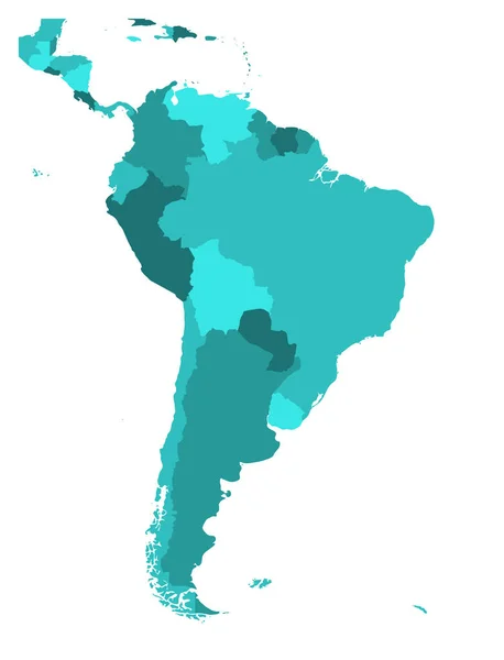
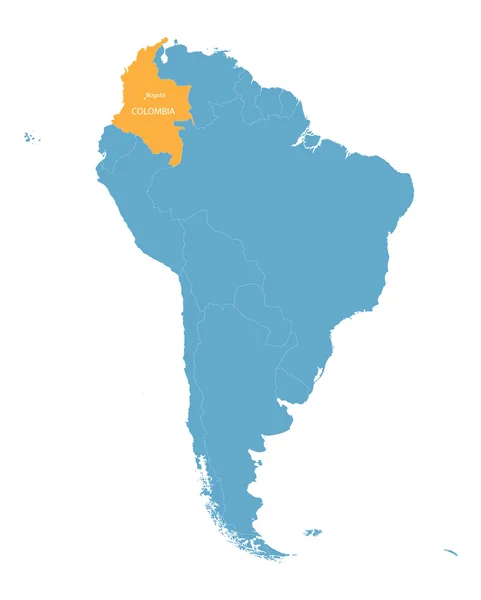
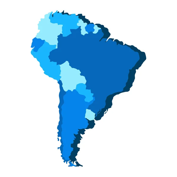
Political Map Of South America. Simple Flat Blank Vector Map In Four Shades Of Turquoise Blue

Vector, 0.82MB, 6000 × 7852 eps
stock vector Political vector map of South America

Political Vector Map Of South America

Vector, 1.36MB, 6000 × 7852 eps
stock vector Multicolored world map divided to six continents in different colors - North America, South America, Africa, Europe, Asia and Australia. Simplified silhouette vector map with continent name labels

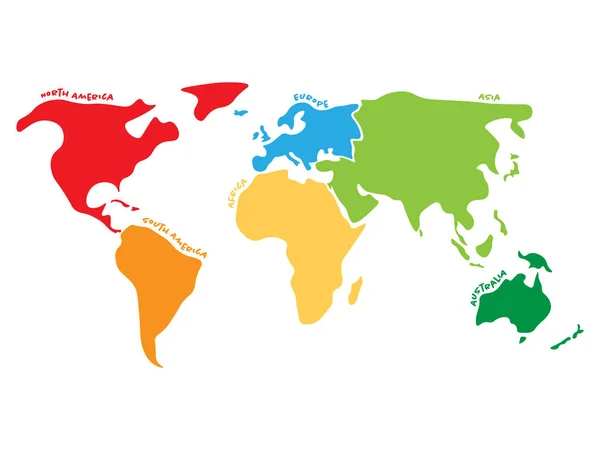
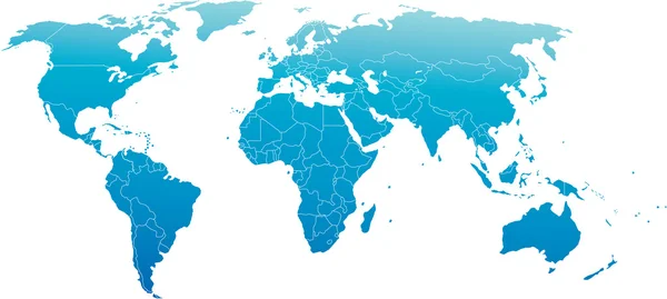
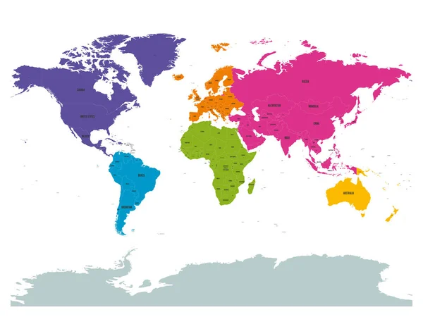
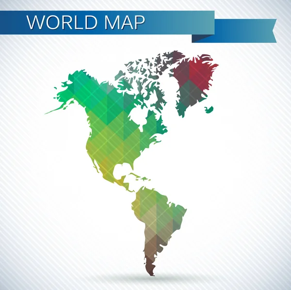
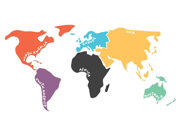
Multicolored World Map Divided To Six Continents In Different Colors - North America, South America, Africa, Europe, Asia And Australia. Simplified Silhouette Vector Map With Continent Name Labels

Vector, 0.43MB, 6000 × 4500 eps
stock vector map of the city of Paso de Carrasco, Uruguay, South America

Map Of The City Of Paso De Carrasco, Uruguay, South America

Vector, 3.03MB, 5476 × 4495 eps
stock vector Political map of South America. Simple flat vector map with country name labels in four shades of turquoise blue

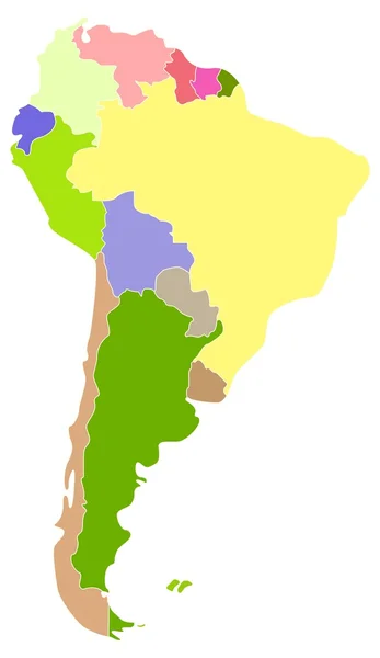
Political Map Of South America. Simple Flat Vector Map With Country Name Labels In Four Shades Of Turquoise Blue

Vector, 0.93MB, 6000 × 9091 eps
stock vector South America Detailed Physical Map. White and grey. No text

South America Detailed Physical Map. White And Grey. No Text

Vector, 6.06MB, 5885 × 8192 eps
stock vector Political map of South America. Simple flat vector map with country name labels in grey

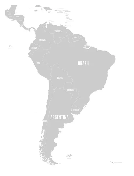
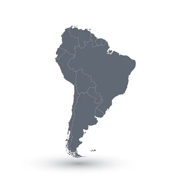
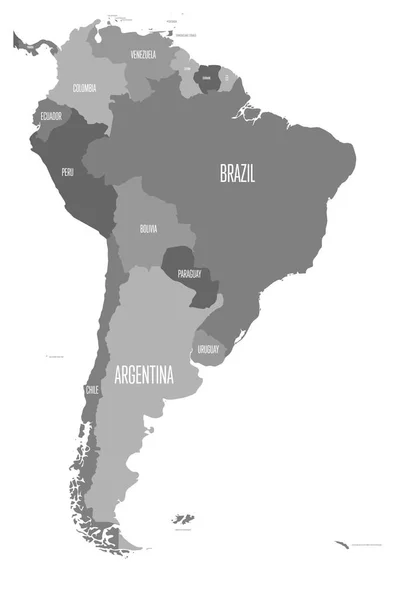
Political Map Of South America. Simple Flat Vector Map With Country Name Labels In Grey

Vector, 1.52MB, 6000 × 7852 eps
stock vector North and South America high detailed vector map

North And South America High Detailed Vector Map

Vector, 9.5MB, 10207 × 14583 eps
stock vector Map of America vector illustration,

Map Of America Vector Illustration,

Vector, 1.31MB, 8858 × 5906 eps
stock vector world map colored by continents

World Map Colored By Continents

Vector, 7.91MB, 7292 × 4990 eps
stock vector map of South America with indication of Colombia

Map Of South America With Indication Of Colombia

Vector, 2.83MB, 3608 × 4500 eps
stock vector Hand drawn vector map of South America.

Hand Drawn Vector Map Of South America.

Vector, 3.97MB, 4295 × 5000 eps
stock vector Western Hemisphere globe

Western Hemisphere Globe

Vector, 1.02MB, 4093 × 4086 eps
stock vector Stylized vector South America map.  Infographic 3d gold map illustration with cities, borders, capital, administrative divisions and pointer marks, shadow; gradient background.

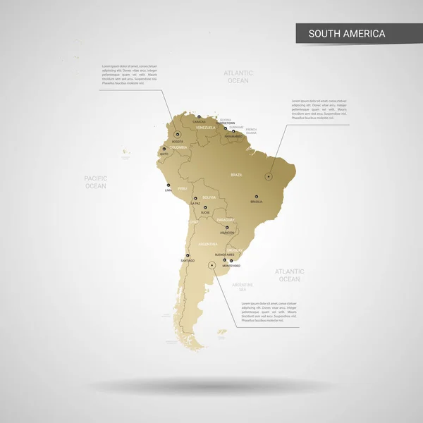
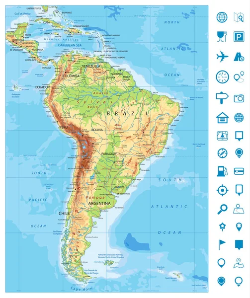
Stylized Vector South America Map. Infographic 3d Gold Map Illustration With Cities, Borders, Capital, Administrative Divisions And Pointer Marks, Shadow; Gradient Background.

Vector, 2.2MB, 3000 × 3000 eps
stock vector vector illustration of a world globe map

Vector Illustration Of A World Globe Map

Vector, 1.93MB, 7500 × 7500 eps
stock vector Central America with highlighted Mexico map.

Central America With Highlighted Mexico Map.

Vector, 1.24MB, 5000 × 3500 eps
stock vector Multicolored simplified world map divided to continents

Multicolored Simplified World Map Divided To Continents

Vector, 0.41MB, 8000 × 6000 eps
stock vector vector illustration of a world globe map

Vector Illustration Of A World Globe Map

Vector, 1.94MB, 7500 × 7500 eps
stock vector Hand drawn vector map of South America.

Hand Drawn Vector Map Of South America.

Vector, 3.33MB, 4295 × 5000 eps
stock vector colorful South America map with names of all countries

Colorful South America Map With Names Of All Countries

Vector, 2.31MB, 3600 × 4500 eps
stock vector Political map of South America. Simple flat vector map with country name labels in four shades of grey

Political Map Of South America. Simple Flat Vector Map With Country Name Labels In Four Shades Of Grey

Vector, 0.93MB, 6000 × 9091 eps
stock vector Political map of South America

Political Map Of South America

Vector, 0.81MB, 5315 × 5315 eps
stock vector South America

South America

Vector, 0.36MB, 3803 × 6561 eps
stock vector Detailed South America Physical Map and navigation icons

Detailed South America Physical Map And Navigation Icons

Vector, 8.9MB, 6876 × 8192 eps
stock vector World map with marks

World Map With Marks

Vector, 5.89MB, 4134 × 5042 eps
Previous << Page 2 >> Next