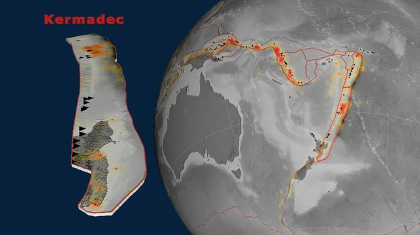
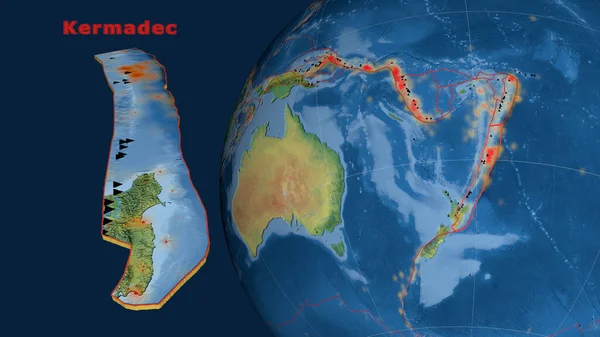
Stock image Kermadec tectonic plate described, extruded and presented against the globe. natural earth topographic map. 3D rendering
Published: Jun.26, 2020 07:47:24
Author: Yarr65
Views: 100
Downloads: 2
File type: image / jpg
File size: 3.58 MB
Orginal size: 2880 x 1620 px
Available sizes:
Level: bronze
Similar stock images


Kermadec Tectonic Plate Described, Extruded And Presented Against The Globe. Topographic Map. 3D Rendering
2880 × 1620