Home
Images
Vectors
Videos
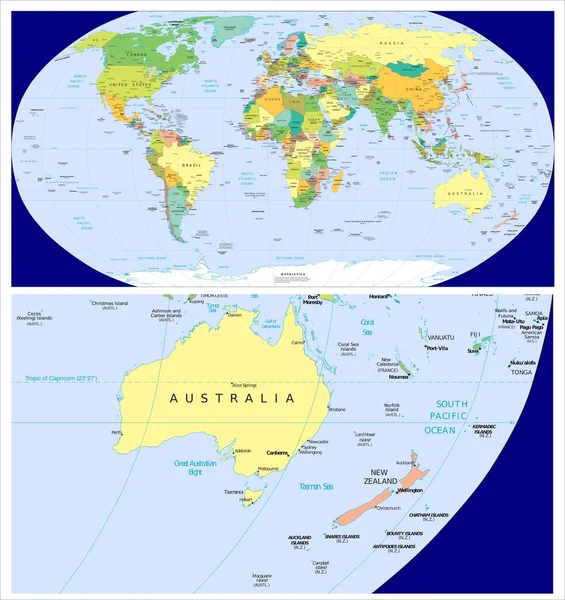
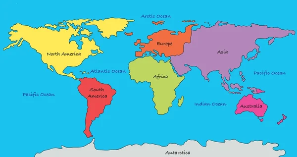
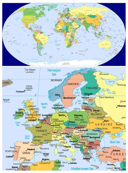
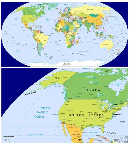
Stock image Map of Earth's principal tectonic plates, Tectonic Plate World Map Concept Design, The sixteen major pieces of crust and uppermost mantle of the Earth, called the lithosphere, Earth's surface, geology
Published:
Jun.21, 2024 09:01:15
Author:
beelineonl@gmail.com
Views:
0
Downloads:
0
File type:
image
/
jpg
File size:
1.06 MB
Orginal size:
4800
x
2700
px
Available sizes:
S
(500 x 281)
M
(1000 x 563)
L
(2000 x 1125)
XL
(4800 x 2700)
EL0
(4800 x 2700)
Level:
beginner
Download Image
Image topics:
Plate
African
Structure
School
Global
Learning
Education
Earth
World
American
Ocean
Science
Section
Study
Map
Cartography
Geography
Crust
Pacific
Continent
Ground
Geology
Continental
Physics
Theory
Scientific
Geological
Layers
Antarctic
Volcano
Educational
Continents
Lava
Magma
Mantle
Fault
Earthquake
Volcanic
Oceanic
Drift
Eurasian
Convergent
Tectonic
Geophysics
Tectonics
Lithosphere
Subduction
Tectonic Plates
Continental Drift
Physical Globe
Similar stock images
Australia New Zealand And World
3821 × 4053
World Map
9449 × 5000
Map Of North America With Capitals In Pastel Green
5717 × 2857
Map Of North America With Capital Cities In Pastel Green
5717 × 2857
Map Of North America With Major Cities In Pastel Orange
5690 × 2886
Europe And World
3374 × 4536
World Map
7075 × 2953
United States And World
3769 × 4181