Home
Images
Vectors
Videos
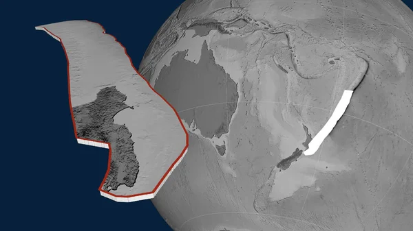
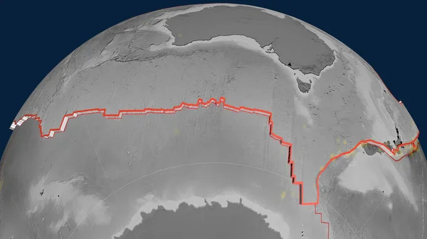
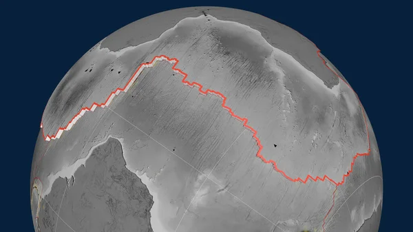
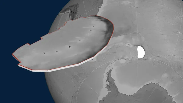
Stock image Pacific tectonic plate extruded and presented against the globe. grayscale elevation map. 3D rendering
Published:
Jun.26, 2020 09:50:46
Author:
Yarr65
Views:
0
Downloads:
0
File type:
image
/
jpg
File size:
2.15 MB
Orginal size:
2880
x
1620
px
Available sizes:
S
(500 x 281)
M
(1000 x 563)
L
(2000 x 1125)
XL
(2880 x 1620)
EL0
(2880 x 1620)
Level:
bronze
Download Image
Image topics:
Shape
Nature
Texture
Border
Global
Education
Earth
Planet
Science
Globe
Outline
Ridge
Map
Cartography
Geography
Area
Pacific
Continent
Land
Core
Projection
Shoreline
Continents
Grayscale
Magma
Mantle
Earthquake
Atlas
Zone
Nasa
Rift
Labels
Presented
Seismic
Graticule
Volcanoe
Convection
Bumped
Cartographic
Lithosphere
3d Rendering
Ring Of Fire
Seismic Activity
Subduction
Wegener
Tectonic Plate
Continental Drift
Surface Waters
Supercontinents
Similar stock images
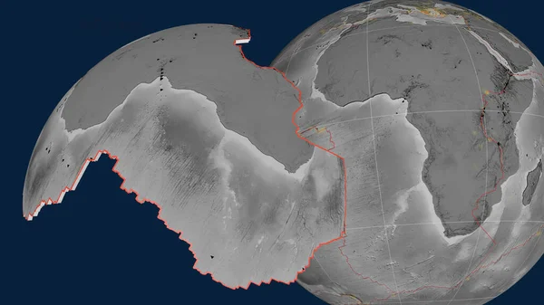
African Tectonic Plate Extruded And Presented Against The Globe. Grayscale Elevation Map. 3D Rendering
2880 × 1620
African Tectonic Plate Extruded On The Globe. Grayscale Elevation Map. 3D Rendering
2880 × 1620
Sandwich Tectonic Plate Extruded And Presented Against The Globe. Grayscale Elevation Map. 3D Rendering
2880 × 1620
African Tectonic Plate Outlined On The Globe. Grayscale Elevation Map. 3D Rendering
2880 × 1620
South America Tectonic Plate Extruded And Presented Against The Globe. Grayscale Elevation Map. 3D Rendering
2880 × 1620
Kermadec Tectonic Plate Extruded And Presented Against The Globe. Grayscale Elevation Map. 3D Rendering
2880 × 1620
Australian Tectonic Plate Extruded On The Globe. Grayscale Elevation Map. 3D Rendering
2880 × 1620
Somalian Tectonic Plate Extruded And Presented Against The Globe. Grayscale Elevation Map. 3D Rendering
2880 × 1620