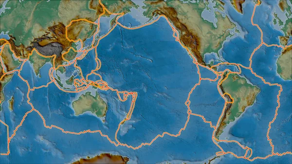
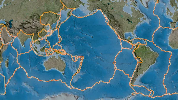
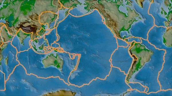
Stock image Tectonic plates borders on the physical map of areas adjacent to the Pacific plate area. Van der Grinten I projection (oblique transformation)
Published: Sep.16, 2020 07:15:35
Author: Yarr65
Views: 256
Downloads: 13
File type: image / jpg
File size: 7.14 MB
Orginal size: 2880 x 1620 px
Available sizes:
Level: bronze