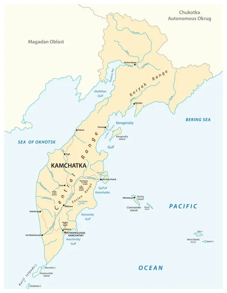
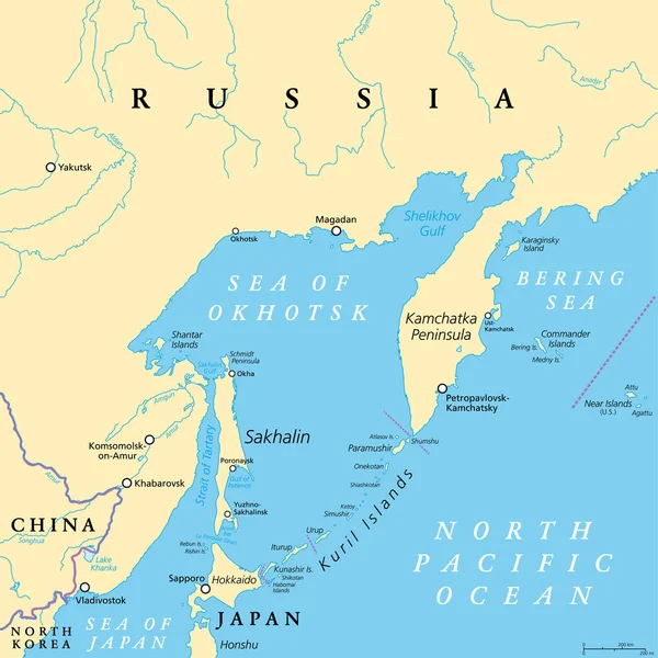
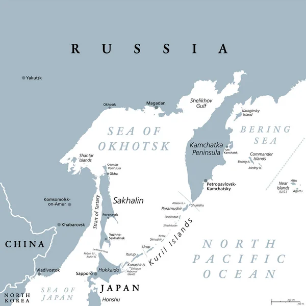
Stock vector Kamchatka Peninsula, and the federal subject Kamchatka Krai of Russia, political map. Peninsula with numerous volcanoes between Bering Sea and Sea of Okhotsk. Offshore runs the Kuril-Kamchatka Trench.

Published: May.04, 2024 18:35:08
Author: Furian
Views: 0
Downloads: 0
File type: vector / eps
File size: 3.92 MB
Orginal size: 6000 x 6000 px
Available sizes:
Level: silver