photo free
Home Images Vectors Videos

Stock image Satellite Map page 2

stock vector Satellite map of Krasnoyarsk, Siberia, Russia. It is a city and the administrative center of Krasnoyarsk Krai, Russia, located on the Yenisei River. Map of streets and buildings of the town center. Asia

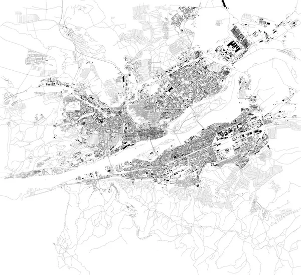
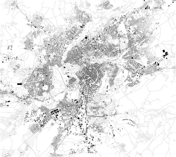
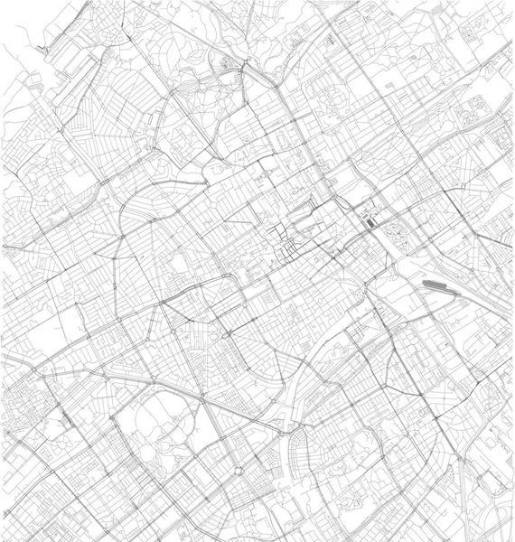
Satellite Map Of Krasnoyarsk, Siberia, Russia. It Is A City And The Administrative Center Of Krasnoyarsk Krai, Russia, Located On The Yenisei River. Map Of Streets And Buildings Of The Town Center. Asia

Vector, 20.73MB, 7087 × 6480 eps
stock vector Satellite map of Bishkek formerly Pishpek and Frunze, it is the capital and largest city of Kyrgyzstan. Map of streets and buildings of the town center

Satellite Map Of Bishkek Formerly Pishpek And Frunze, It Is The Capital And Largest City Of Kyrgyzstan. Map Of Streets And Buildings Of The Town Center

Vector, 18.55MB, 7561 × 5665 eps
stock vector Satellite map of Province of Crotone towns and roads, buildings and connecting roads of surrounding areas. Calabria region, Italy. Map roads, ring roads

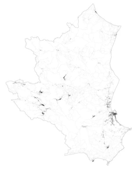
Satellite Map Of Province Of Crotone Towns And Roads, Buildings And Connecting Roads Of Surrounding Areas. Calabria Region, Italy. Map Roads, Ring Roads

Vector, 11.08MB, 4916 × 6144 eps
stock image High resolution world map focused on North America

High Resolution World Map Focused On North America

Image, 13.09MB, 6810 × 4541 jpg
stock image GPS satellite. Flat 3d illustration. Wireless satellite technology. World global net.

GPS Satellite. Flat 3d Illustration. Wireless Satellite Technology. World Global Net.

Image, 2.15MB, 3746 × 3000 jpg
stock vector Satellite map of Nashville, Tennessee, Usa, city streets. Street map and map of the city center.

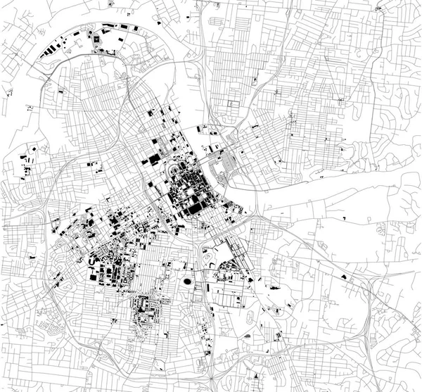
Satellite Map Of Nashville, Tennessee, Usa, City Streets. Street Map And Map Of The City Center.

Vector, 3.08MB, 6454 × 5992 eps
stock vector Satellite map of Agra, India.It is a city on the banks of the Yamuna river in the Indian state of Uttar Pradesh. Map of streets and buildings of the town center

Satellite Map Of Agra, India.It Is A City On The Banks Of The Yamuna River In The Indian State Of Uttar Pradesh. Map Of Streets And Buildings Of The Town Center

Vector, 7.35MB, 11467 × 8912 eps
stock vector Satellite map of Ho Chi Minh, Vietnam, city streets. Street map, city center. Asia

Satellite Map Of Ho Chi Minh, Vietnam, City Streets. Street Map, City Center. Asia

Vector, 13.52MB, 7551 × 7951 eps
stock vector Satellite map of Province of Viterbo towns and roads, buildings and connecting roads of surrounding areas. Lazio region, Italy. Map roads, ring roads

Satellite Map Of Province Of Viterbo Towns And Roads, Buildings And Connecting Roads Of Surrounding Areas. Lazio Region, Italy. Map Roads, Ring Roads

Vector, 15.41MB, 7369 × 6565 eps
stock vector Satellite map of Cairo, it is the capital of Egypt, associated with ancient Egypt, as the famous Giza pyramid complex. The city is situated on the Nile river. Map of streets and buildings of the town center.

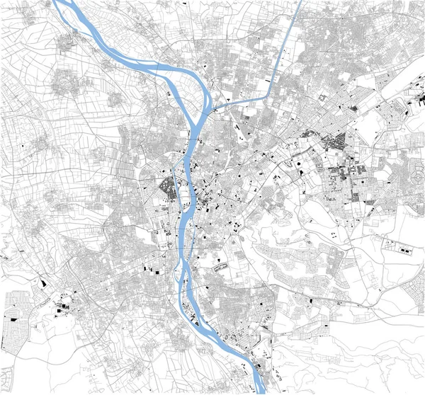
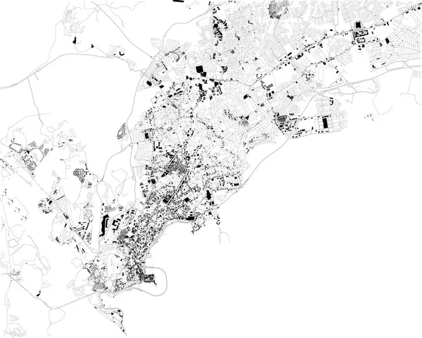
Satellite Map Of Cairo, It Is The Capital Of Egypt, Associated With Ancient Egypt, As The Famous Giza Pyramid Complex. The City Is Situated On The Nile River. Map Of Streets And Buildings Of The Town Center.

Vector, 20.37MB, 7087 × 6596 eps
stock vector Flat 3d isometric mobile GPS navigation maps infographic concept vector

Flat 3d Isometric Mobile GPS Navigation Maps Infographic Concept Vector

Vector, 0.33MB, 5333 × 4000 eps
stock image Night view of Europe from the satellite

Night View Of Europe From The Satellite

Image, 13.19MB, 5000 × 5000 jpg
stock image Monaghan, county of Ireland. Low resolution satellite map. Locations and names of major cities of the region. Corner auxiliary location maps

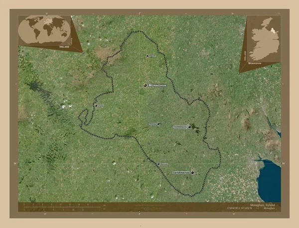
Monaghan, County Of Ireland. Low Resolution Satellite Map. Locations And Names Of Major Cities Of The Region. Corner Auxiliary Location Maps

Image, 9.08MB, 4930 × 3770 jpg
stock vector London, England, satellite map

London, England, Satellite Map

Vector, 13.5MB, 4439 × 3328 eps
stock image location tracking with laptop and gps

Location Tracking With Laptop And Gps

Image, 3.77MB, 5000 × 3750 jpg
stock image GPS satellite. Flat 3d illustration. Wireless satellite technology. World global net.

GPS Satellite. Flat 3d Illustration. Wireless Satellite Technology. World Global Net.

Image, 2.16MB, 3746 × 3000 jpg
stock vector Satellite map of Quito, Ecuador, city streets. Street map, city center. South America

Satellite Map Of Quito, Ecuador, City Streets. Street Map, City Center. South America

Vector, 5.56MB, 6964 × 3995 eps
stock vector Streets of Istanbul, city map, Turkey

Streets Of Istanbul, City Map, Turkey

Vector, 4.07MB, 4207 × 2823 eps
stock vector Satellite map of Benghazi, it is the second-most populous city in Libya and the largest in Cyrenaica. Map of streets and buildings of the town center. Africa

Satellite Map Of Benghazi, It Is The Second-most Populous City In Libya And The Largest In Cyrenaica. Map Of Streets And Buildings Of The Town Center. Africa

Vector, 6.72MB, 4320 × 6107 eps
stock vector Satellite map of Panama city, Panama, city streets. Street map, city center. South America

Satellite Map Of Panama City, Panama, City Streets. Street Map, City Center. South America

Vector, 5.45MB, 6703 × 5380 eps
stock vector Satellite map of Recife, it is is the fourth-largest urban agglomeration in Brazil. Map of streets and buildings of the town center

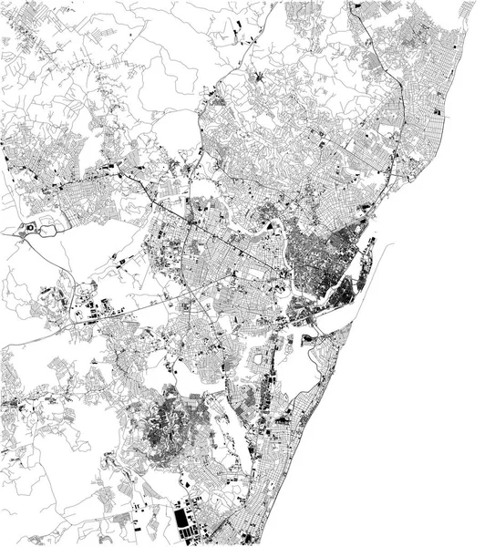
Satellite Map Of Recife, It Is Is The Fourth-largest Urban Agglomeration In Brazil. Map Of Streets And Buildings Of The Town Center

Vector, 19.16MB, 5906 × 6516 eps
stock vector Satellite map of Istanbul and surrounding areas. Turkey. Map roads, ring roads and highways, rivers, railway lines

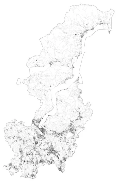
Satellite Map Of Istanbul And Surrounding Areas. Turkey. Map Roads, Ring Roads And Highways, Rivers, Railway Lines

Vector, 18.41MB, 5000 × 3887 ai
stock vector Satellite map of province of Milan, towns and roads, buildings and connecting roads of surrounding areas. Lombardy, Italy. Map roads, ring roads

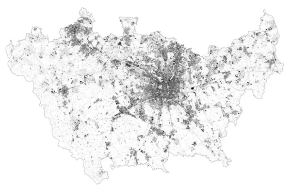
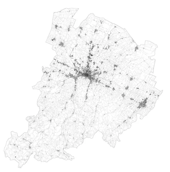
Satellite Map Of Province Of Milan, Towns And Roads, Buildings And Connecting Roads Of Surrounding Areas. Lombardy, Italy. Map Roads, Ring Roads

Vector, 50.37MB, 9095 × 5961 eps
stock image Kiev  3d map. 3d illustration

Kiev 3d Map. 3d Illustration

Image, 35.21MB, 10000 × 5625 jpg
stock vector Satellite map of Yerevan. It is the capital and largest city of Armenia. Situated along the Hrazdan River. Map of streets and buildings of the town center. Asia

Satellite Map Of Yerevan. It Is The Capital And Largest City Of Armenia. Situated Along The Hrazdan River. Map Of Streets And Buildings Of The Town Center. Asia

Vector, 10.93MB, 6299 × 5627 eps
stock vector Satellite map of Province of Catanzaro towns and roads, buildings and connecting roads of surrounding areas. Calabria region, Italy. Map roads, ring roads

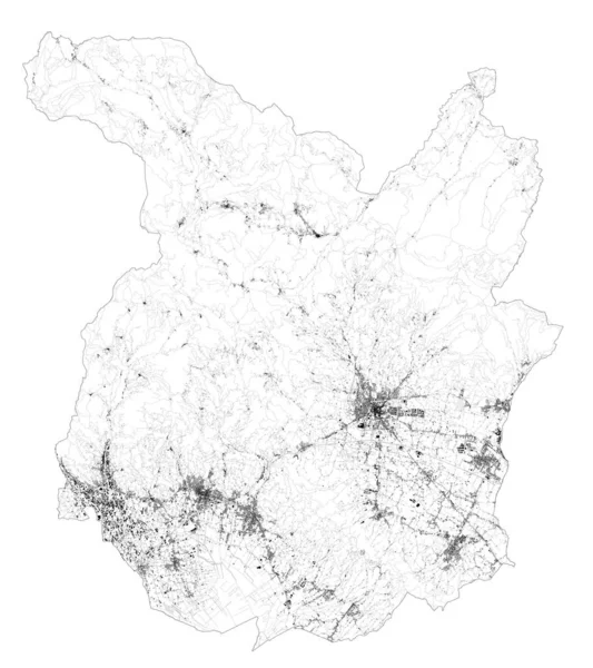
Satellite Map Of Province Of Catanzaro Towns And Roads, Buildings And Connecting Roads Of Surrounding Areas. Calabria Region, Italy. Map Roads, Ring Roads

Vector, 11.74MB, 4827 × 5466 eps
stock image Brazil area on the satellite A map in the stereographic projection - raw composition of raster layers with dark glowing outline

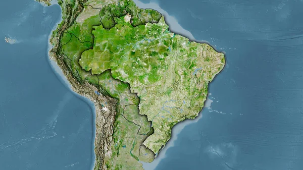
Brazil Area On The Satellite A Map In The Stereographic Projection - Raw Composition Of Raster Layers With Dark Glowing Outline

Image, 5.49MB, 2880 × 1620 jpg
stock vector Satellite map of Strasbourg, France, city streets. Street map and map of the city center

Satellite Map Of Strasbourg, France, City Streets. Street Map And Map Of The City Center

Vector, 13.7MB, 6389 × 5151 eps
stock image Satellite view of the Campania region. Italy. 3d render. Physical map of Campania, plains, mountains, lakes, mountain range of the Apennines

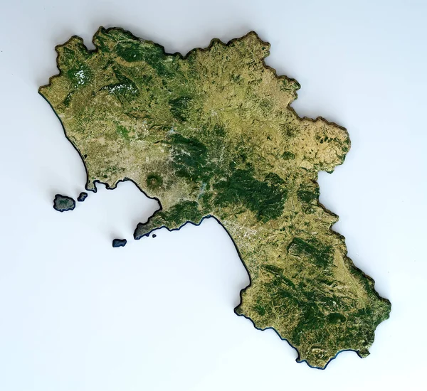
Satellite View Of The Campania Region. Italy. 3d Render. Physical Map Of Campania, Plains, Mountains, Lakes, Mountain Range Of The Apennines

Image, 15.02MB, 4502 × 4133 jpg
stock vector Satellite map of Padua, Padova, Italy, city streets. Street map, city center

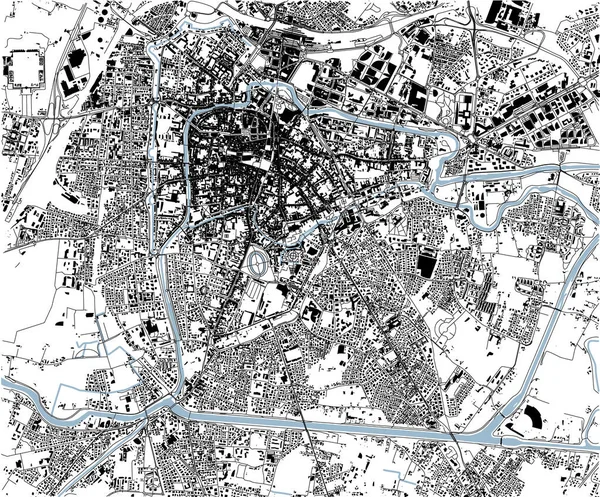
Satellite Map Of Padua, Padova, Italy, City Streets. Street Map, City Center

Vector, 13.32MB, 2750 × 2279 eps
stock vector Satellite map of Galway, Ireland, city streets. Street map, city center.

Satellite Map Of Galway, Ireland, City Streets. Street Map, City Center.

Vector, 6.38MB, 10659 × 5992 eps
stock vector Satellite map of Milan and surrounding areas. Lombardy, Italy. Map roads, ring roads and highways, rivers, railway lines

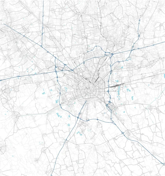
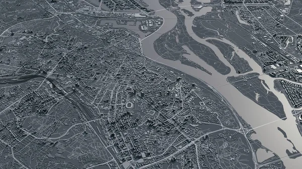
Satellite Map Of Milan And Surrounding Areas. Lombardy, Italy. Map Roads, Ring Roads And Highways, Rivers, Railway Lines

Vector, 18.18MB, 5000 × 5319 ai
stock image Physical map of North America, with high resolution details. Flattened satellite view of Planet Earth, its geography and topography. 3D illustration - Elements of this image furnished by NASA

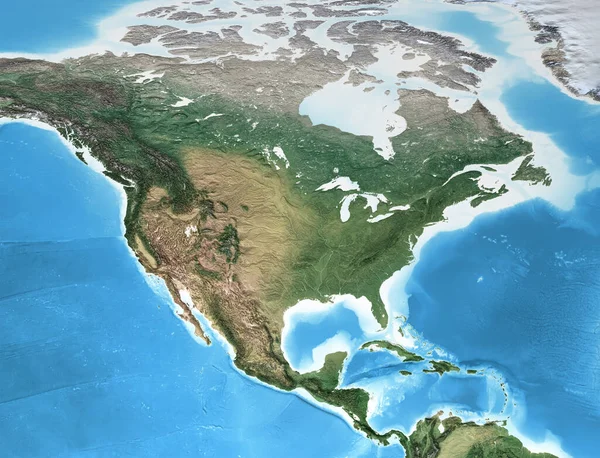
Physical Map Of North America, With High Resolution Details. Flattened Satellite View Of Planet Earth, Its Geography And Topography. 3D Illustration - Elements Of This Image Furnished By NASA

Image, 14.66MB, 7500 × 5736 jpg
stock vector Satellite map of Philadelphia, Philly, Pennsylvania, city streets. Street map, city center. Usa

Satellite Map Of Philadelphia, Philly, Pennsylvania, City Streets. Street Map, City Center. Usa

Vector, 10.16MB, 5409 × 5600 eps
stock image Sunrise over the Earth

Sunrise Over The Earth

Image, 7.87MB, 7340 × 5126 jpg
stock vector Satellite map of Indianapolis, Indiana, Usa, city streets. Street map and map of the city center

Satellite Map Of Indianapolis, Indiana, Usa, City Streets. Street Map And Map Of The City Center

Vector, 8.09MB, 10067 × 5984 eps
stock vector Satellite map of Province of Bologna towns and roads, buildings and connecting roads of surrounding areas. Emilia-Romagna region, Italy. Map roads, ring roads

Satellite Map Of Province Of Bologna Towns And Roads, Buildings And Connecting Roads Of Surrounding Areas. Emilia-Romagna Region, Italy. Map Roads, Ring Roads

Vector, 43.78MB, 5315 × 5363 eps
stock vector Satellite map of province of Pistoia, towns and roads, buildings and connecting roads of surrounding areas. Tuscany, Italy. Map roads, ring roads

Satellite Map Of Province Of Pistoia, Towns And Roads, Buildings And Connecting Roads Of Surrounding Areas. Tuscany, Italy. Map Roads, Ring Roads

Vector, 21.27MB, 5892 × 6621 eps
stock image The highlighted area of Colombia with capital point and label on the desaturated map of its neighbourhood. Satellite imagery

The Highlighted Area Of Colombia With Capital Point And Label On The Desaturated Map Of Its Neighbourhood. Satellite Imagery

Image, 3.36MB, 2880 × 1620 jpg
stock vector Satellite map of Dubai, United Arab Emirates, city streets. Street map and map of the city center

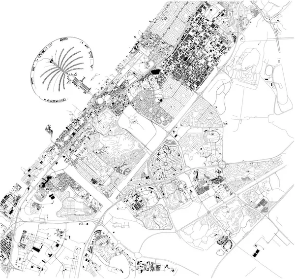
Satellite Map Of Dubai, United Arab Emirates, City Streets. Street Map And Map Of The City Center

Vector, 9.55MB, 9372 × 8847 eps
stock vector Satellite map of province of Bergamo, towns and roads, buildings and connecting roads of surrounding areas. Lombardy, Italy. Map roads, ring roads

Satellite Map Of Province Of Bergamo, Towns And Roads, Buildings And Connecting Roads Of Surrounding Areas. Lombardy, Italy. Map Roads, Ring Roads

Vector, 41.09MB, 7123 × 8369 eps
stock image Shape of Greece with its capital isolated on white background. Satellite imagery. 3D rendering

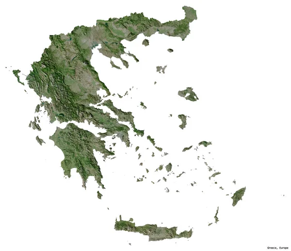
Shape Of Greece With Its Capital Isolated On White Background. Satellite Imagery. 3D Rendering

Image, 2.22MB, 2636 × 2273 jpg
stock vector Satellite map of Province of Reggio Calabria towns and roads, buildings and connecting roads of surrounding areas. Calabria region, Italy. Map roads, ring roads

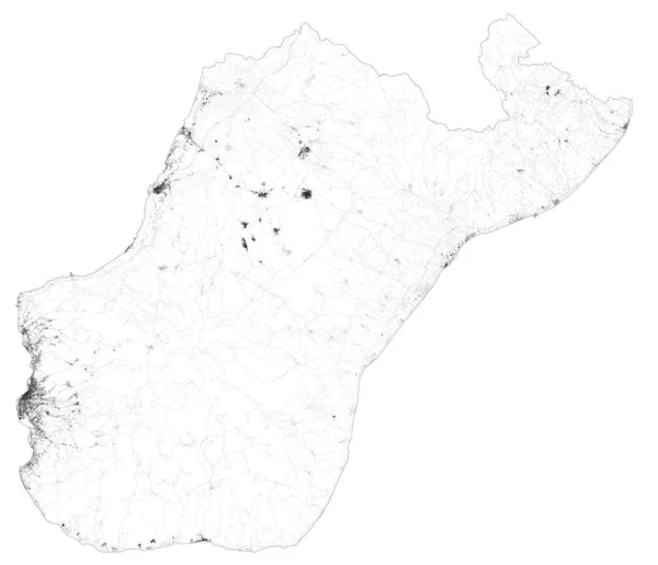
Satellite Map Of Province Of Reggio Calabria Towns And Roads, Buildings And Connecting Roads Of Surrounding Areas. Calabria Region, Italy. Map Roads, Ring Roads

Vector, 26.09MB, 6548 × 5625 eps
stock image Satellite view of the Puglia region. Italy. 3d render. Physical map of Puglia, plains, mountains, lakes, mountain range

Satellite View Of The Puglia Region. Italy. 3d Render. Physical Map Of Puglia, Plains, Mountains, Lakes, Mountain Range

Image, 11.63MB, 4822 × 4133 jpg
stock vector Satellite map of The Hague, Netherlands , Holland, city streets. Street map, city center

Satellite Map Of The Hague, Netherlands , Holland, City Streets. Street Map, City Center

Vector, 7.56MB, 9219 × 9694 eps
stock vector Satellite map of Tel Aviv and buildings, Israel. Map roads, ring roads and highways, rivers. Transportation map

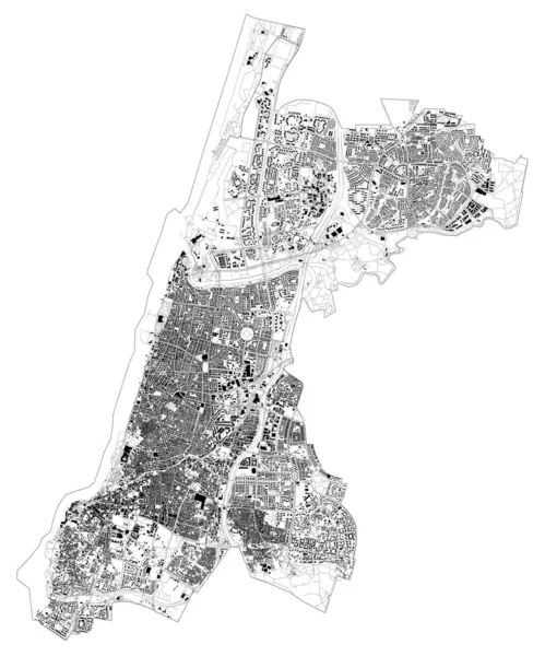
Satellite Map Of Tel Aviv And Buildings, Israel. Map Roads, Ring Roads And Highways, Rivers. Transportation Map

Vector, 10.3MB, 5906 × 7092 eps
stock vector Satellite map of Milan, streets and building of area number 5, municipalities number five. Lombardy. Italy

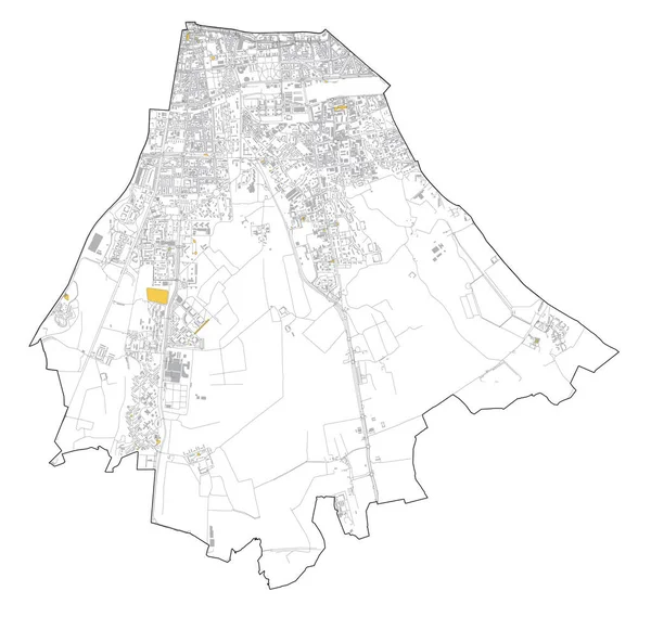
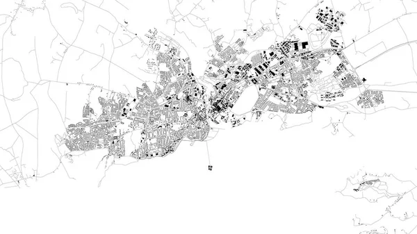
Satellite Map Of Milan, Streets And Building Of Area Number 5, Municipalities Number Five. Lombardy. Italy

Vector, 6.76MB, 7696 × 7307 eps
stock vector Satellite map of province of Cremona, towns and roads, buildings and connecting roads of surrounding areas. Lombardy, Italy. Map roads, ring roads

Satellite Map Of Province Of Cremona, Towns And Roads, Buildings And Connecting Roads Of Surrounding Areas. Lombardy, Italy. Map Roads, Ring Roads

Vector, 14.14MB, 9752 × 6877 eps
stock vector Satellite map of province of Como, towns and roads, buildings and connecting roads of surrounding areas. Lombardy, Italy. Map roads, ring roads

Satellite Map Of Province Of Como, Towns And Roads, Buildings And Connecting Roads Of Surrounding Areas. Lombardy, Italy. Map Roads, Ring Roads

Vector, 32.11MB, 5677 × 8811 eps
stock image Israel, Lebanon, Jordan, Syria and Iraq region from space

Israel, Lebanon, Jordan, Syria And Iraq Region From Space

Image, 11.83MB, 5000 × 3750 jpg
Previous << Page 2 >> Next