
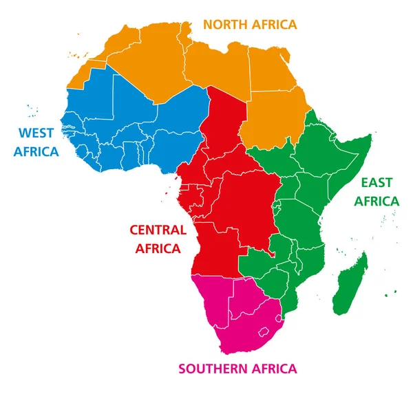
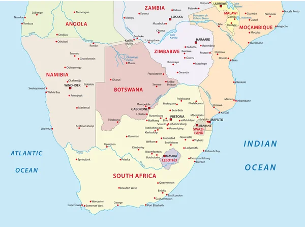
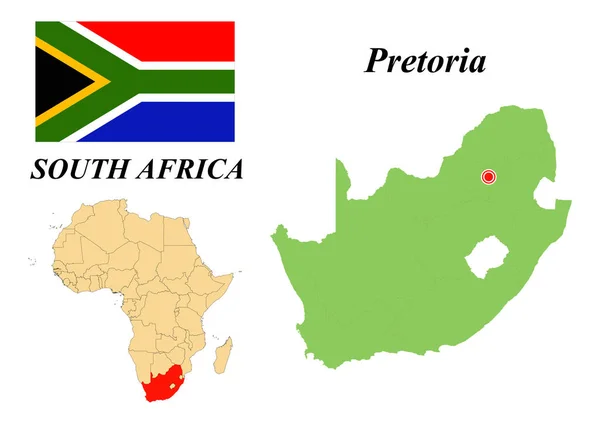
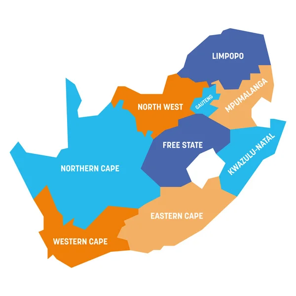
Stock image South Africa Region Map
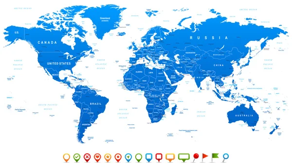

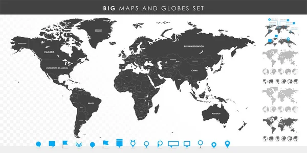
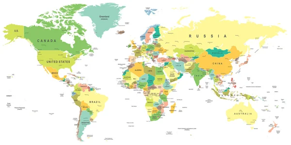
Big Set Of High Detailed Maps And Globes. Pins Collection. Different Effects. World Map And Infograpchic Elements. Political Countries World Map. Vector Illustration
Vector, 10.86MB, 12002 × 6001 eps
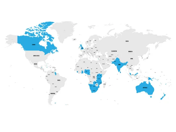
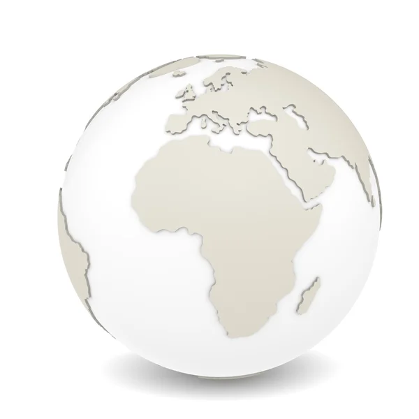
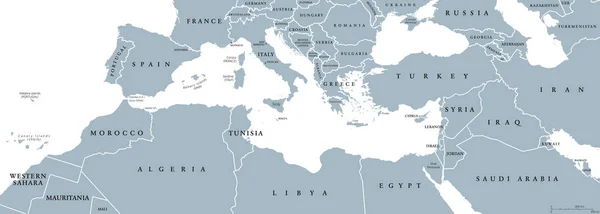
Member States Of The British Commonwealth Blue Highlighted In The World Map. Vector Illustration
Vector, 5.79MB, 8000 × 6000 eps
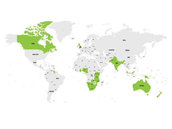
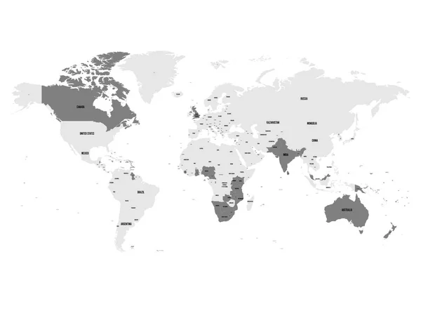
Member States Of The British Commonwealth Green Highlighted In The World Map. Vector Illustration
Vector, 5.78MB, 8000 × 6000 eps
Member States Of The British Commonwealth Blue Highlighted In The World Map. Vector Illustration
Vector, 5.78MB, 8000 × 6000 eps
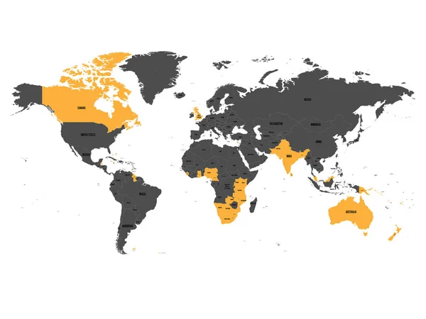
Member States Of The British Commonwealth Orange Highlighted In The World Map. Vector Illustration
Vector, 5.79MB, 8000 × 6000 eps

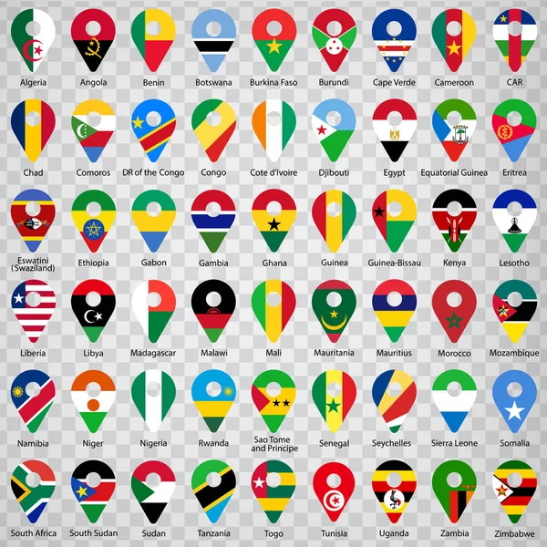
Fifty Four Flags Of African Countries - Alphabetical Order With Name. Set Of 2d Geolocation Signs Like National Flags Of Africa. Fifty Four Geolocation Signs For Your Web Site Design, Logo, App, UI. EPS10.
Vector, 7.56MB, 5000 × 5000 eps
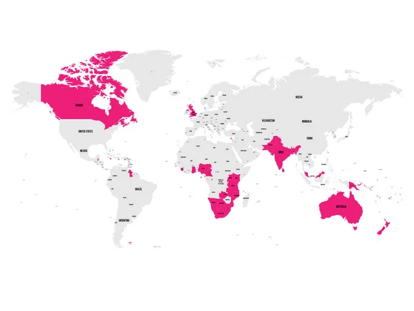
Member States Of The British Commonwealth Pink Highlighted In The World Map. Vector Illustration
Vector, 5.79MB, 8000 × 6000 eps


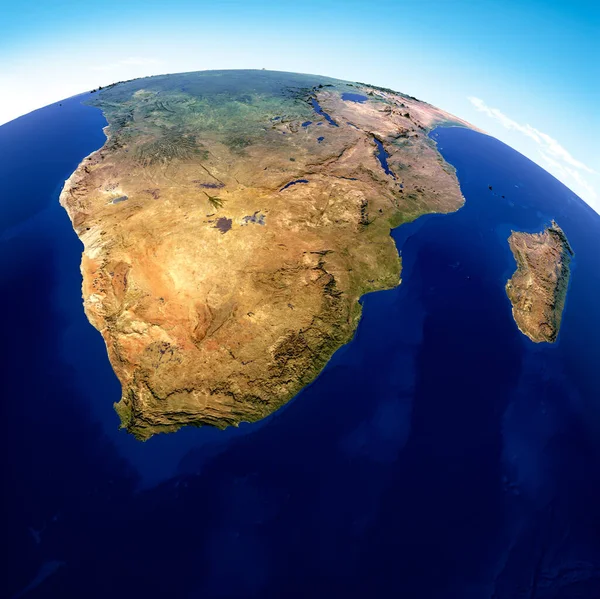
Globe Map Of South Africa, Geographical Map, Physics. Cartography, Atlas. Map With Reliefs And Mountains. Republic Of South Africa. Satellite View. 3d Render. Element Of This Images Are Furnished By Nasa
Image, 10.82MB, 4818 × 4815 jpg


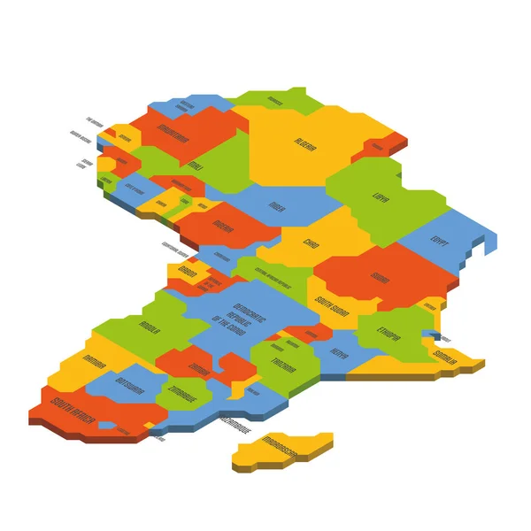
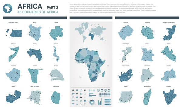
Vector Isometric Maps Set - Africa Continent. Maps Of African Countries With Administrative Division And Cities. Part 2.
Vector, 10.57MB, 5600 × 3500 eps


South Africa. Collection Of Four Vector Hearts With Flag. Heart Silhouette
Vector, 2.86MB, 5000 × 5000 eps

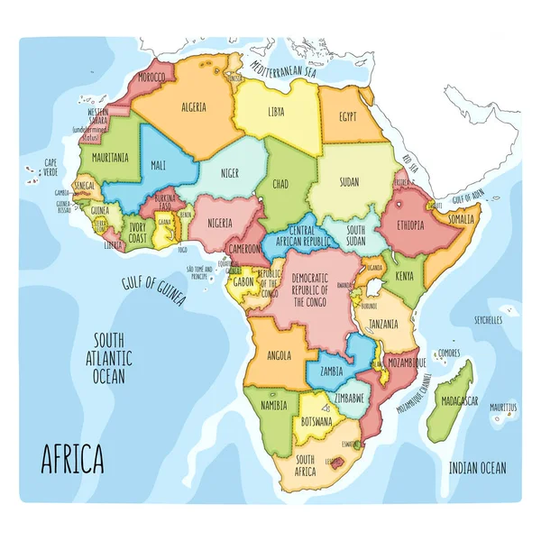
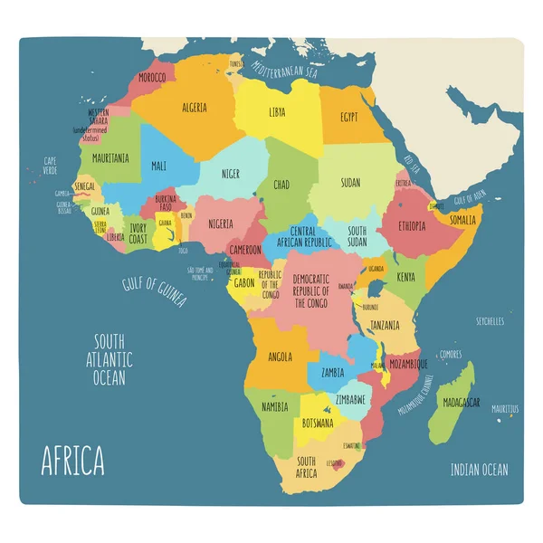
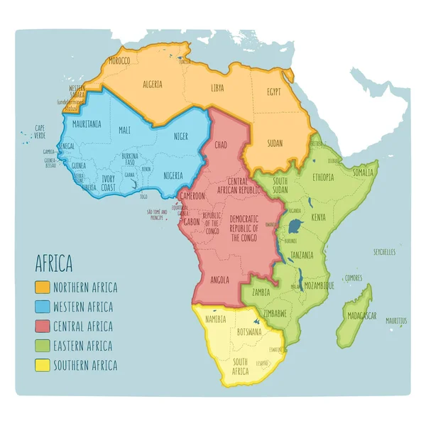
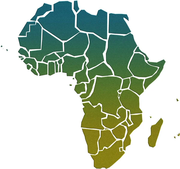
Africa Map, Infographics Flat Design Colors Snow White, With Names Of Individual States Vector
Vector, 2.29MB, 4914 × 3800 eps
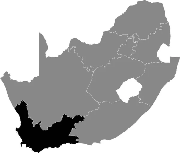
Black Highlighted Location Map Of The South African Western Cape Province Inside Gray Map Of The Republic Of South Africa
Vector, 0.92MB, 5409 × 4598 eps


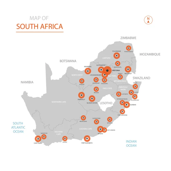
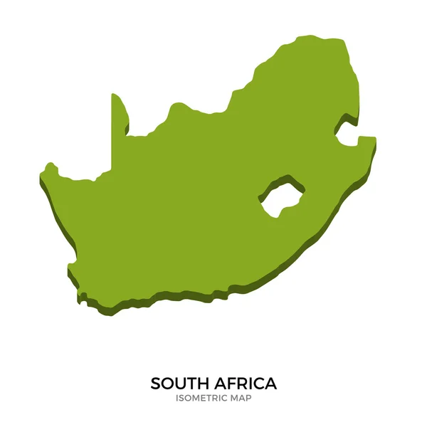
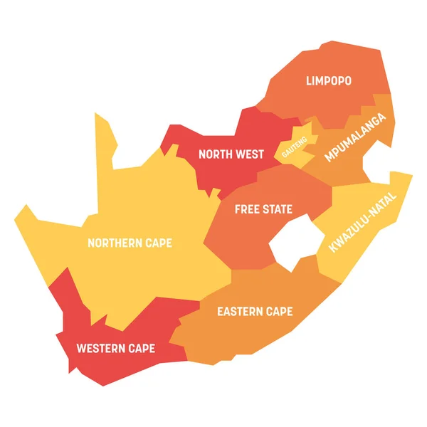
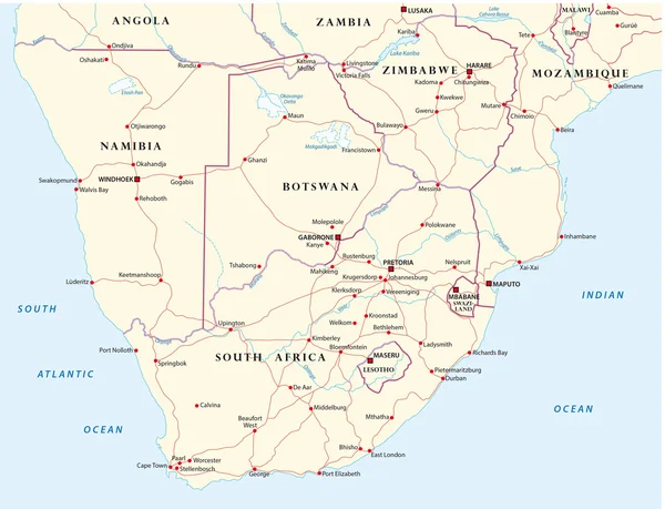
Stylized Vector Republic Of South Africa (RSA) Map Showing Big Cities, Capital Pretoria, Administrative Divisions.
Vector, 3.07MB, 3000 × 3000 eps


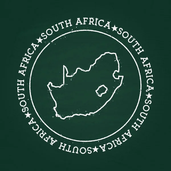
White Chalk Texture Rubber Seal With Republic Of South Africa Map On A Green Blackboard.
Vector, 7.97MB, 8333 × 8333 eps
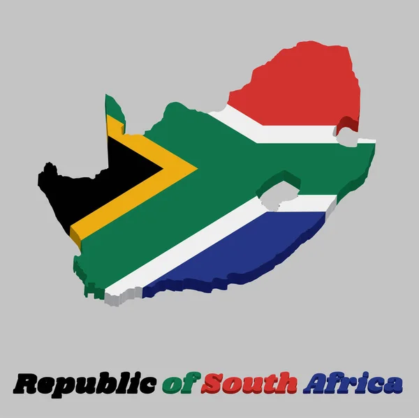
3d Map Outline And Flag Of South Africa, A Horizontal Of Red And Blue With A Black Triangle, White And Green Horizontal Y And Gold Triangle. With Text South Africa.
Vector, 5.65MB, 7219 × 7215 eps
South Africa. The Capital Is Cape Town. Flag Of South Africa. Map Of The Continent Of Africa With Country Borders. Vector Graphics.
Vector, 6.25MB, 6931 × 4901 eps
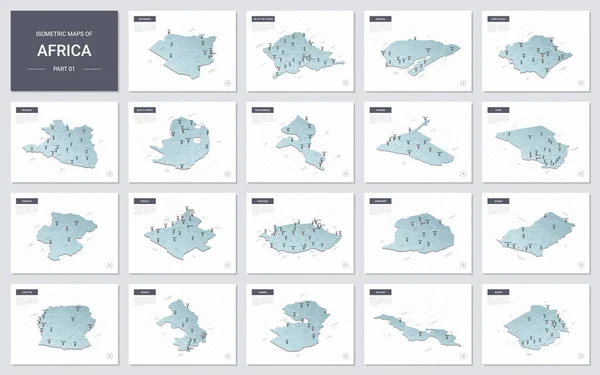
Vector Isometric Maps Set - Africa Continent. Maps Of African Countries With Administrative Division And Cities. Part 1.
Vector, 12.03MB, 5600 × 3500 eps

Page 1 >> Next