
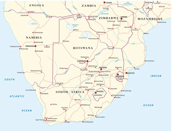
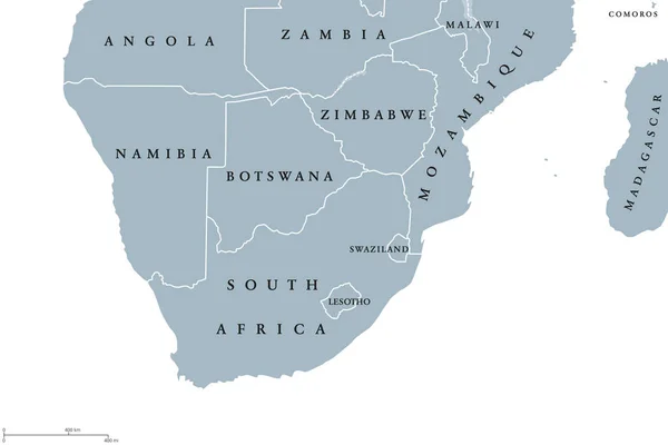
Stock image South Africa Region Map page 2


Vector Isometric Maps Set - Africa Continent. Maps Of African Countries With Administrative Division And Cities. Part 2.
Vector, 10.57MB, 5600 × 3500 eps


South Africa. Collection Of Four Vector Hearts With Flag. Heart Silhouette
Vector, 2.86MB, 5000 × 5000 eps

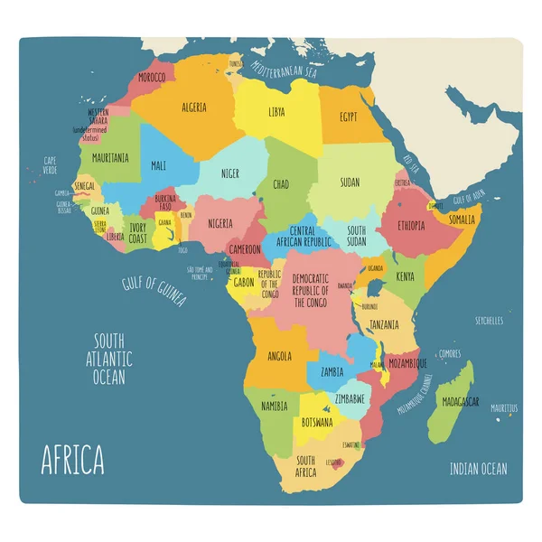
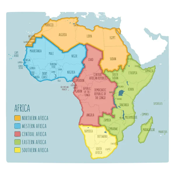
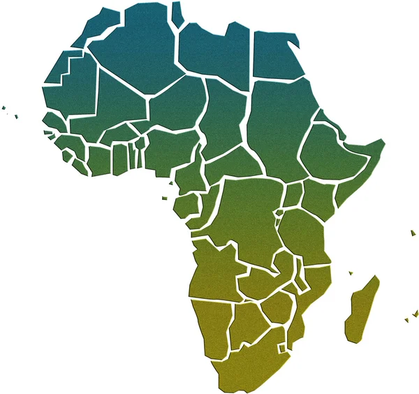
Africa Map, Infographics Flat Design Colors Snow White, With Names Of Individual States Vector
Vector, 2.29MB, 4914 × 3800 eps
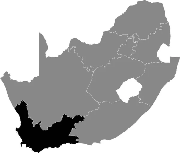
Black Highlighted Location Map Of The South African Western Cape Province Inside Gray Map Of The Republic Of South Africa
Vector, 0.92MB, 5409 × 4598 eps


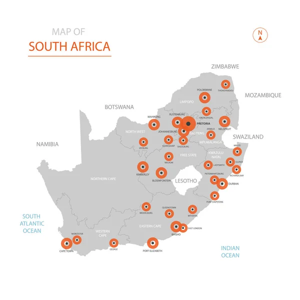
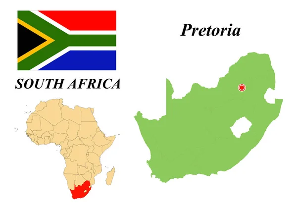
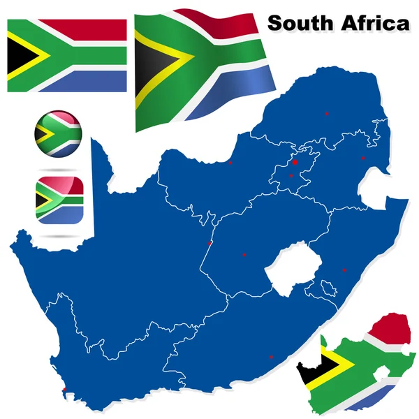
Stylized Vector Republic Of South Africa (RSA) Map Showing Big Cities, Capital Pretoria, Administrative Divisions.
Vector, 3.07MB, 3000 × 3000 eps


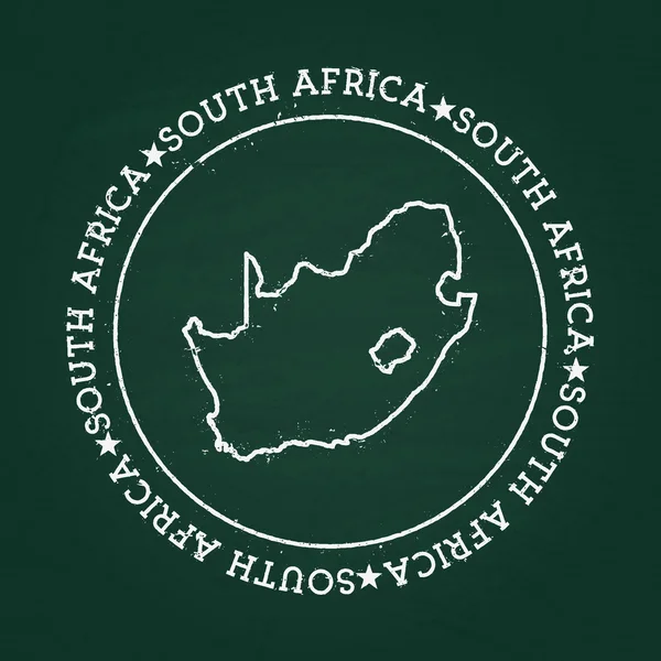
White Chalk Texture Rubber Seal With Republic Of South Africa Map On A Green Blackboard.
Vector, 7.97MB, 8333 × 8333 eps
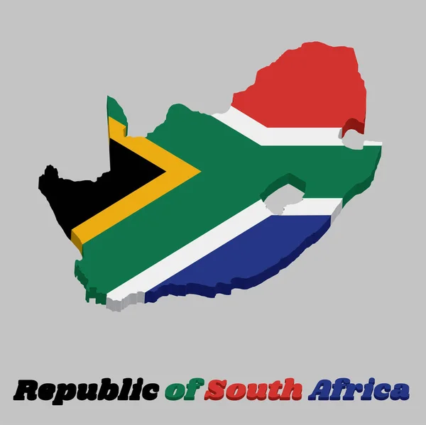
3d Map Outline And Flag Of South Africa, A Horizontal Of Red And Blue With A Black Triangle, White And Green Horizontal Y And Gold Triangle. With Text South Africa.
Vector, 5.65MB, 7219 × 7215 eps
South Africa. The Capital Is Cape Town. Flag Of South Africa. Map Of The Continent Of Africa With Country Borders. Vector Graphics.
Vector, 6.25MB, 6931 × 4901 eps
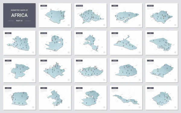
Vector Isometric Maps Set - Africa Continent. Maps Of African Countries With Administrative Division And Cities. Part 1.
Vector, 12.03MB, 5600 × 3500 eps


South Africa Political Map Of Administrative Divisions - Provinces. Solid Blue Blank Vector Map With White Borders.
Vector, 0.25MB, 8000 × 8000 eps


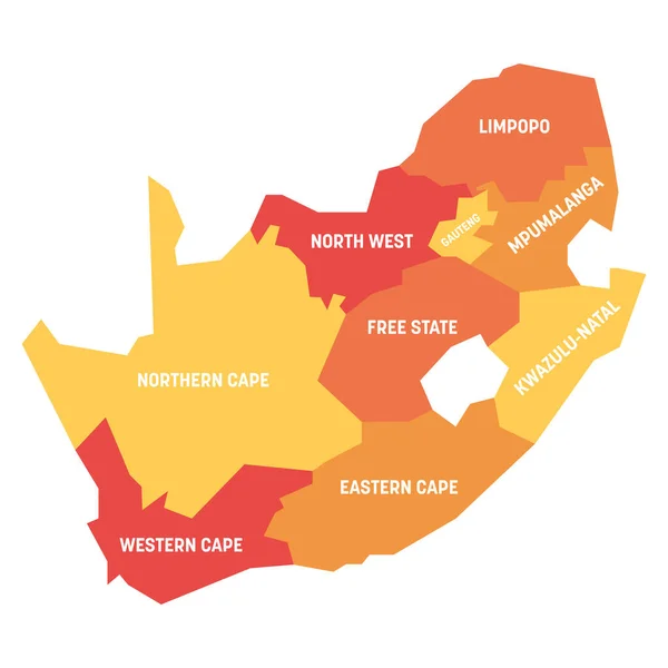
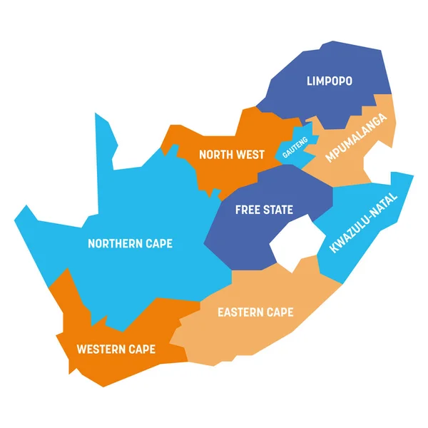
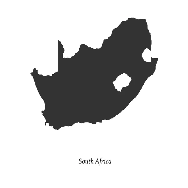
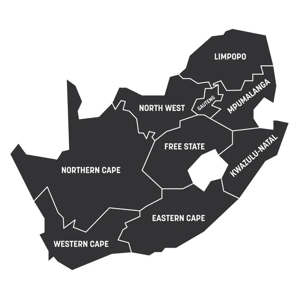
The Detailed Map Of South Africa With Regions Or States. Administrative Division
Vector, 0.55MB, 6000 × 5000 eps

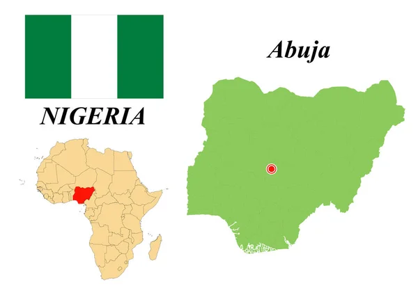
Federal Republic Of Nigeria. Capital Of Abuja. Flag Of Nigeria. Map Of The Continent Of Africa With Country Borders. Vector Graphics.
Vector, 1.48MB, 6931 × 4901 eps


White Blank Vector Map Of The Republic Of South Africa With Black Borders Of Its Provinces
Vector, 0.93MB, 5409 × 4598 eps

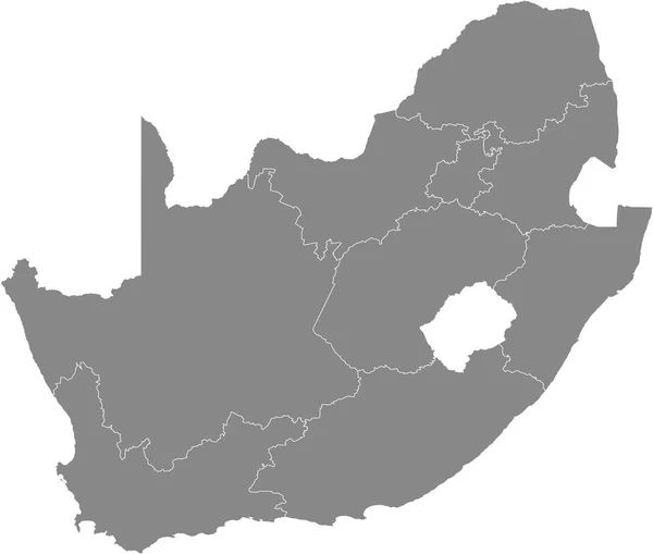
Gray Vector Map Of The Republic Of South Africa With White Borders Of Its Provinces
Vector, 0.92MB, 5409 × 4598 eps
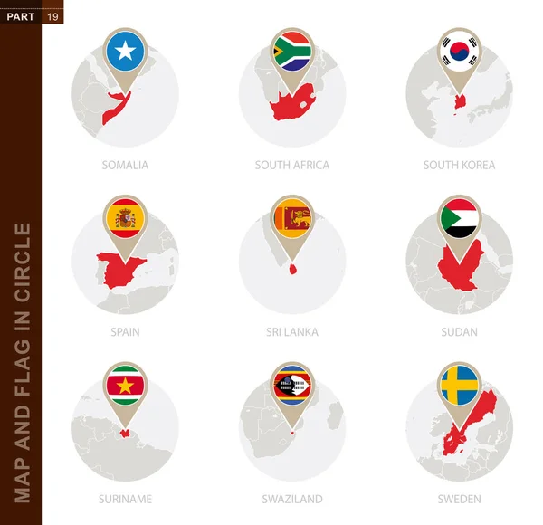
Map And Flag In A Circle Of 9 Countries: Somalia, South Africa, South Korea, Spain, Sri Lanka, Sudan, Suriname, Swaziland, Sweden
Vector, 1.23MB, 5170 × 5000 eps


High Quality Map Of Gauteng Is A Region Of South Africa, With Borders Of The Districts
Vector, 1.27MB, 4000 × 4000 eps


Previous << Page 2 >> Next